Durham’s story is
mostly unwritten
The public archives hold only 13 old photos of Durham. The rest are in attics, shoeboxes and the historical society. Help start the collection.
The story
from WikipediaRead it all ↗Durham sits beside Great Bay at the mouth of the Oyster River, an ideal location for people who lived close to the land, like the Western Abenaki and their ancestors who have lived in the region for an estimated 11,000 years. The Shankhassick (now Oyster) River provided shellfish and access to the north woods for hunting and trapping; the sea provided food and access to long-established trade routes between tribes both north and south; and the open meadows provided land on which crops could be easily cultivated. Wecannecohunt (or Wecohamet), as the settlement was known until English settlers arrived, proved immediately attractive to them, too.
Text from Wikipedia, licensed CC BY-SA 4.0.
Timeline
built from the dates on the items belowStart Durham’s collection
The first neighbors to add old photos shape how Durham’s history is told.
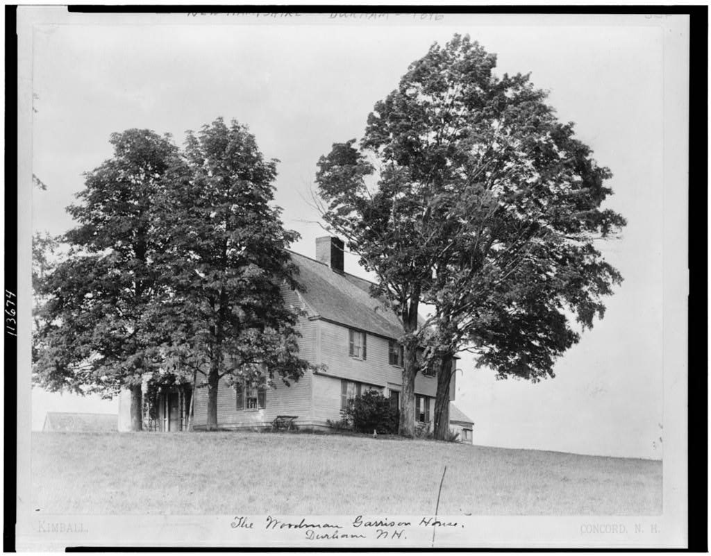
0 of 10 decades since 1900 have photos 🗓️Date a photo12 archive items have no date+2 🔁Retake an old viewThe Woodman Garrison house, 1896: stand where they stood+15 📦Share a family photoSign in to add one+10Durham, decade by decade
1990s
unknown12 items
 BookDate?History of the town of Durham, New Hampshire (Oyster River …
 BookDate?History of the town of Durham, New Hampshire (Oyster River …
 BookDate?History of the town of Durham, New Hampshire (Oyster River …
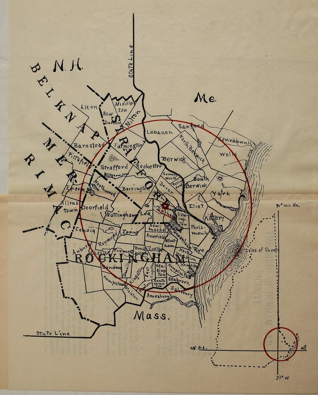
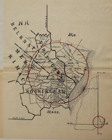 CommonsDate?The birds of Durham and vicinity
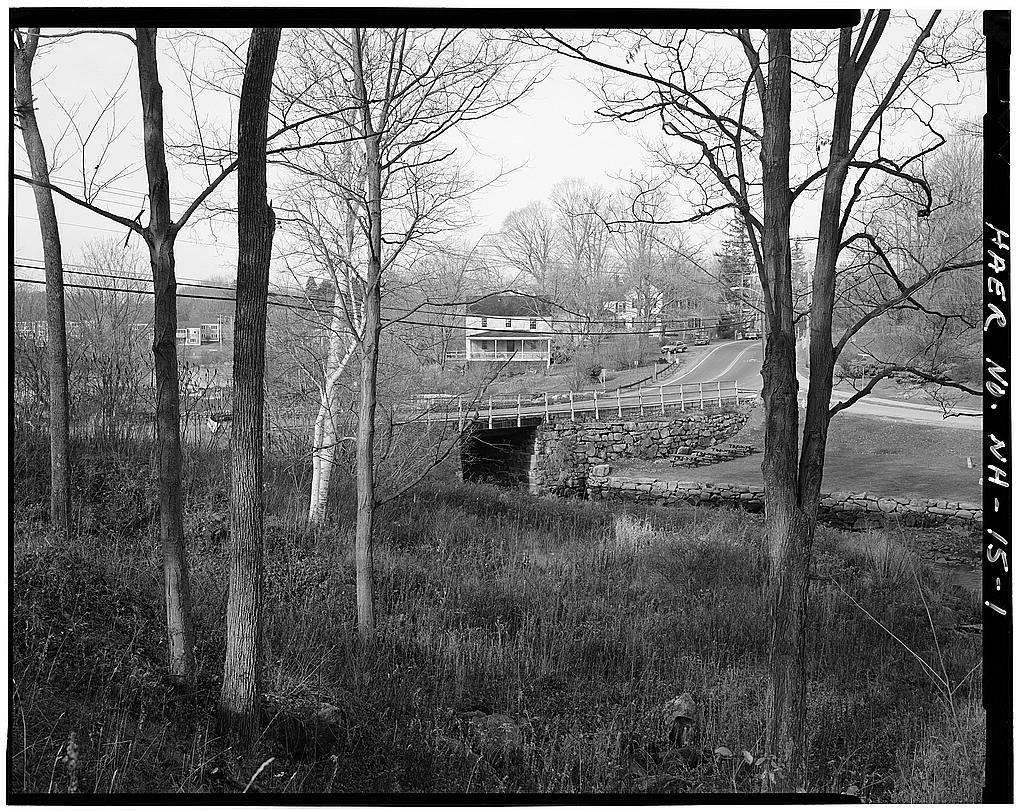
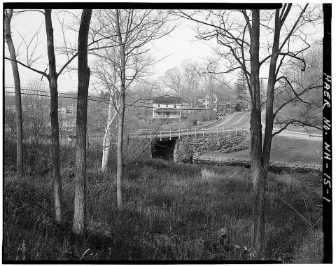 LOCDate?Durham Falls Bridge, Spanning Oyster River at State Route 1…
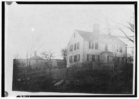 LOCDate?General John Sullivan House, Newmarket Road
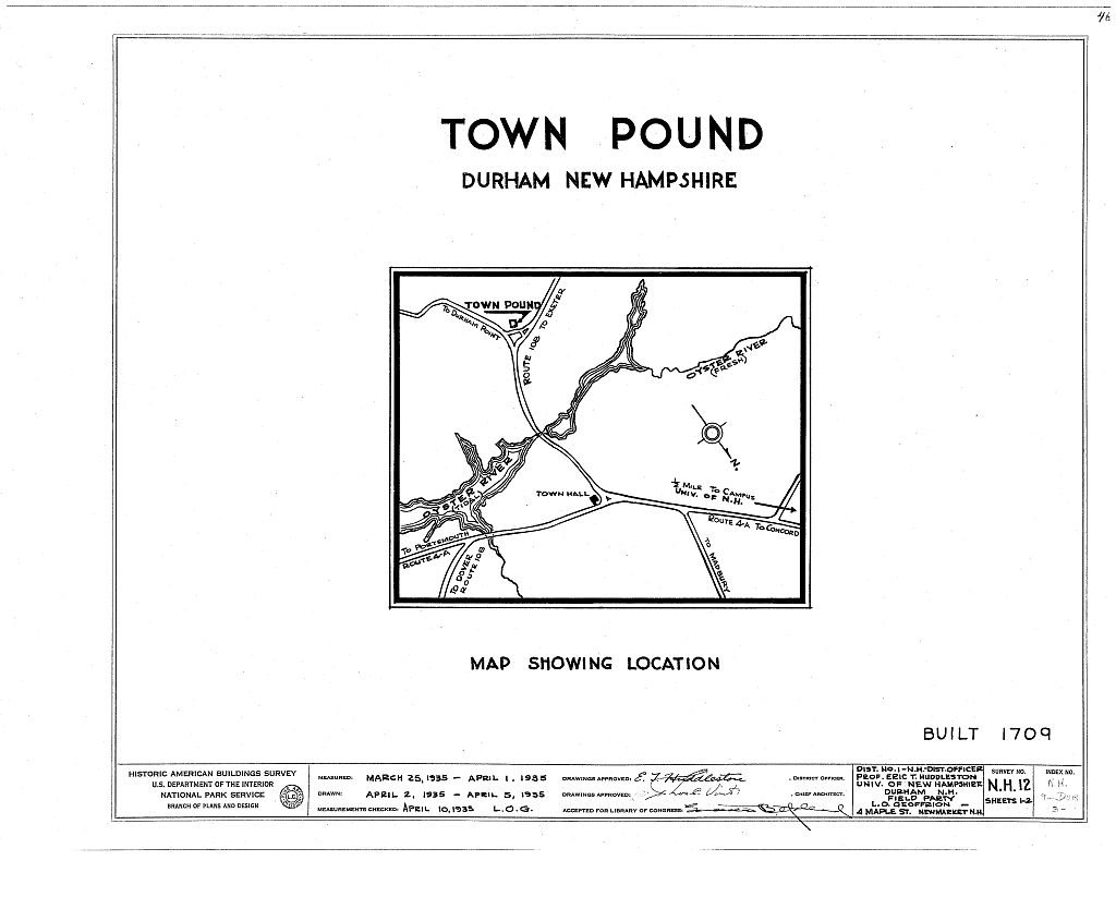
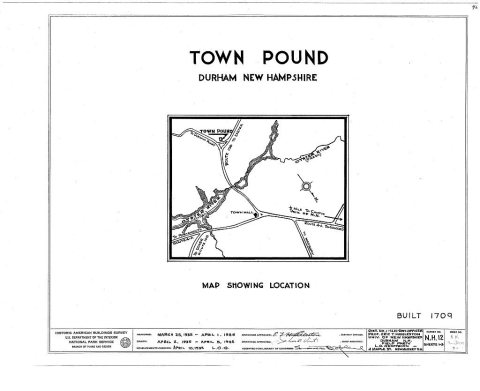 LOCDate?Town Pound, Route 108
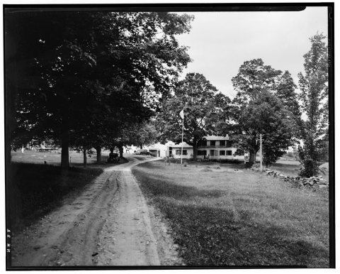 LOCDate?Pendergast Garrison, Packer's Falls
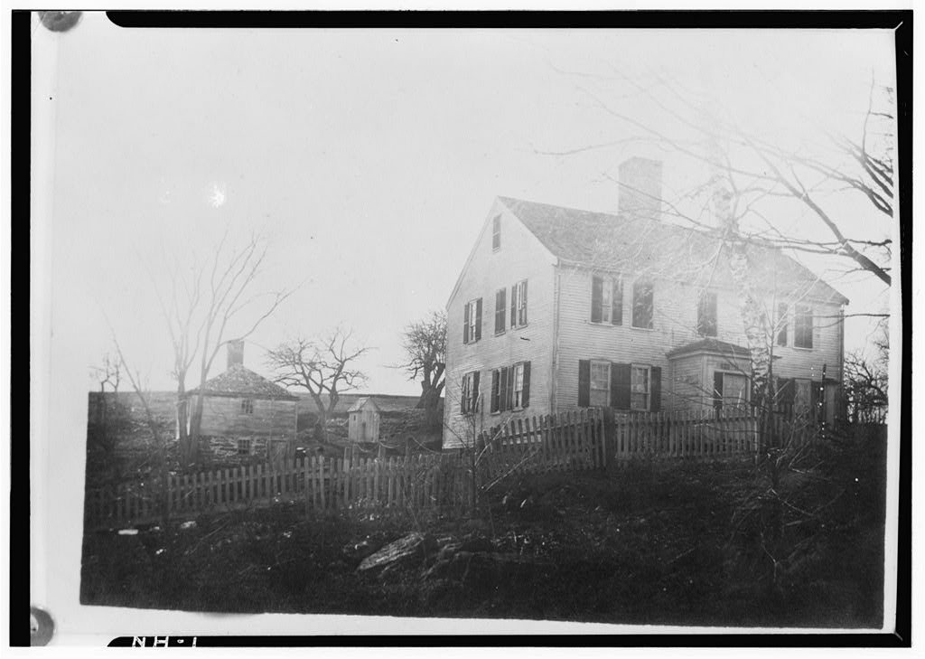
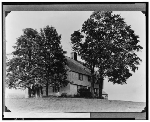 LOCDate?Woodman Garrison, Garrison Avenue
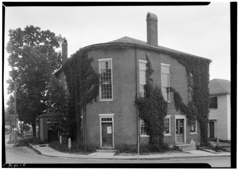 LOCDate?Town Hall, Newmarket & Dover Roads
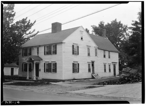 LOCDate?Ebenezer Smith House, 20 Main Street
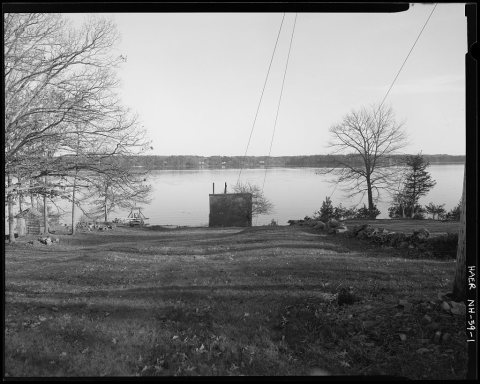 LOCDate?Little Bay Underwater Cable Terminal Houses Historic Distri…
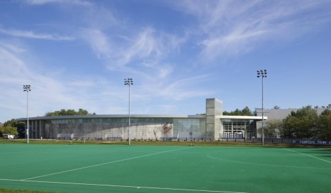 LOCArtificial-turf sports field, used for soccer and lacrosse,…2017
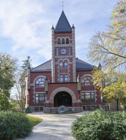 LOCThompson Hall, also commonly referred to locally as "T-hall…2017
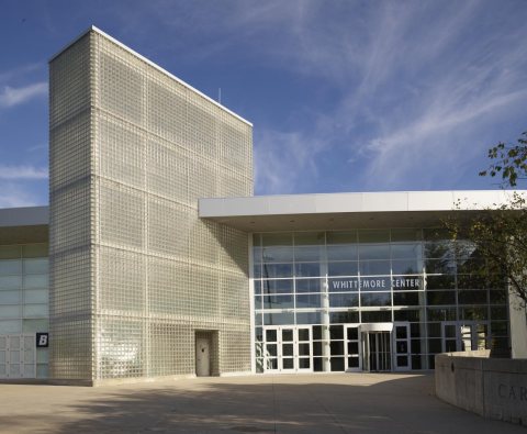 LOCEntrance to the Whittemore Center, a multi-purpose arena lo…2017
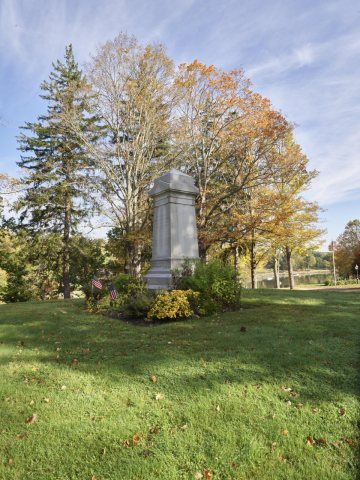 LOCMonument to John Sullivan2017
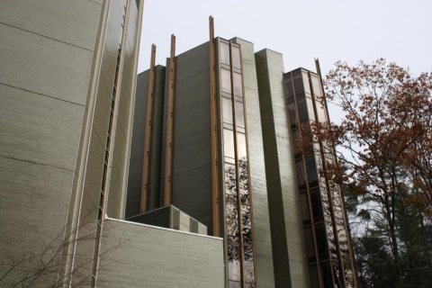 CommonsNew England Center2017
 CommonsAfter the storm - Flickr - Mark Bonica2016
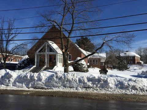 CommonsStThomasMoreDurhamNH2015
 CommonsUSPS Truck2013
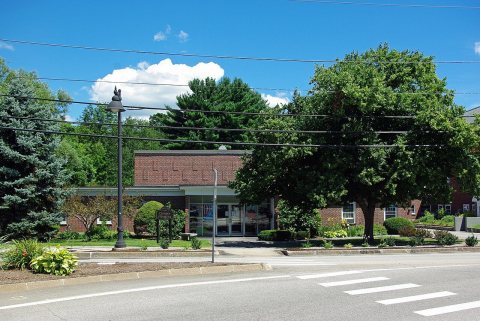 CommonsSt Thomas More Parish, Durham NH 22013
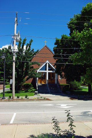 CommonsSt Thomas More Parish, Durham NH 12013
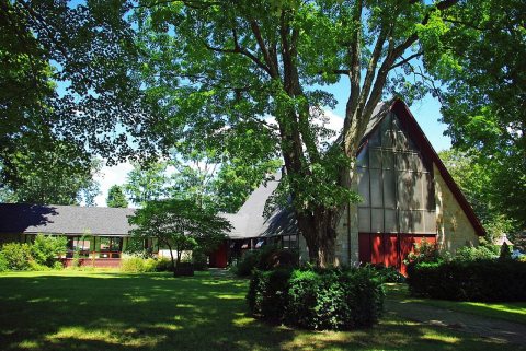 CommonsSt George Episcopal Church2013
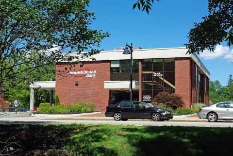 CommonsPeoples United Bank2013
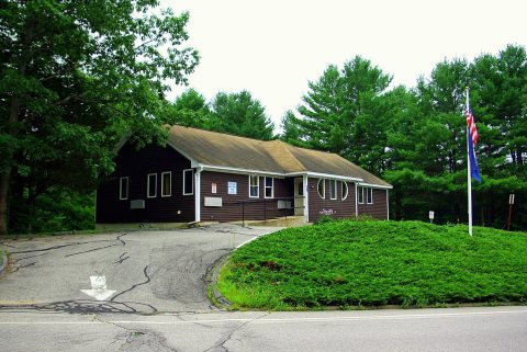 CommonsOyster River School District Office2013
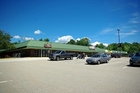 CommonsMill Plaza, Mill Rd2013
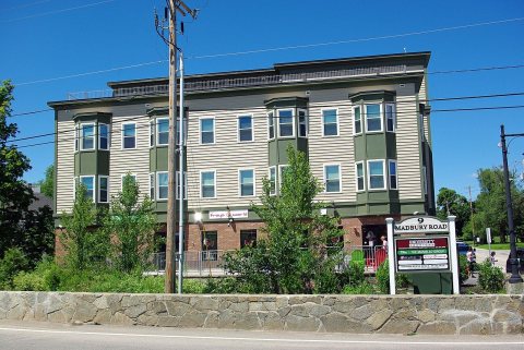 CommonsMadbury Rd2013
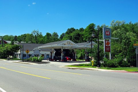 CommonsGas station Dover Rd2013
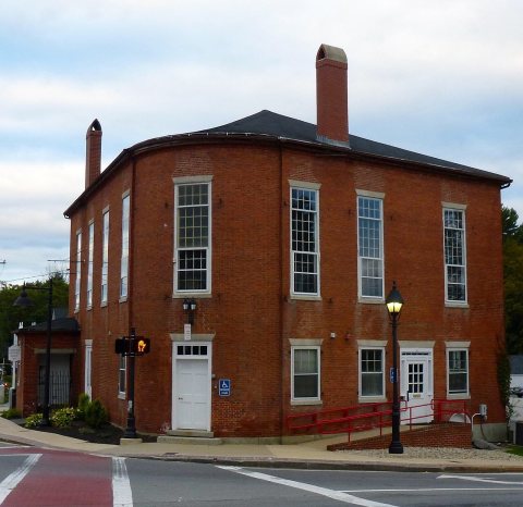 CommonsDurham-court-house2013
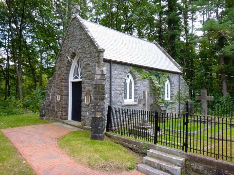
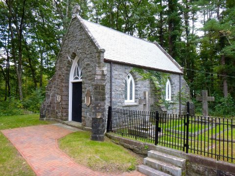 CommonsDurham-chapel2013
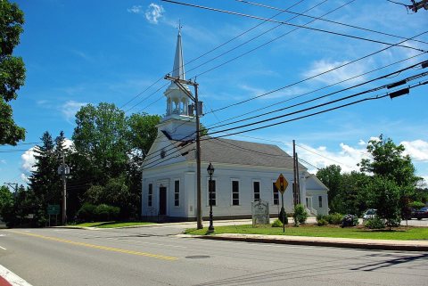 CommonsCommunity Church2013
 CommonsBus stop2013
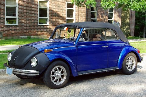 CommonsBlue VW Beetle2013
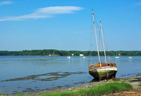 CommonsAdams Point2013
 CommonsUntitled photo2012
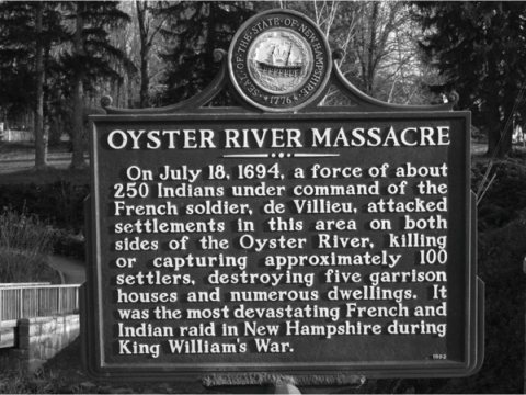 CommonsOysterRiverMassacre2012
 CommonsMailboxes at Durham post office2011
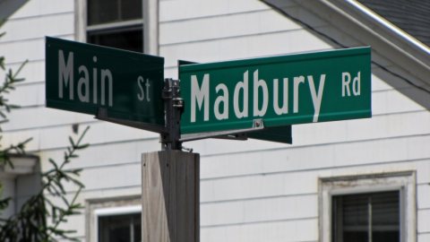 CommonsIntersection of Main Street and Madbury Road -012011
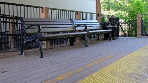 CommonsBenches at Durham Amtrak station2011
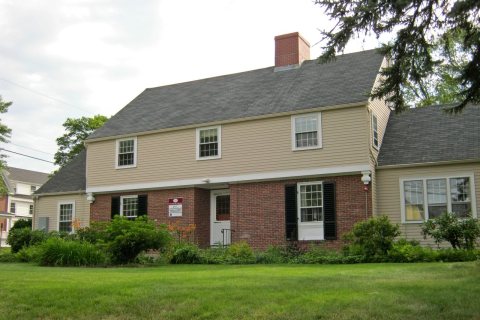 Commons20 Madbury Road2011
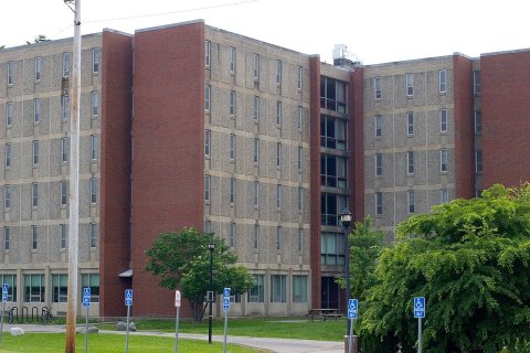 CommonsDurham NH 0112005
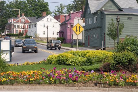 CommonsDurham NH 0102005
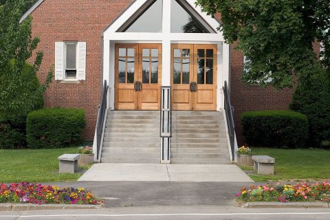 CommonsDurham NH 0092005
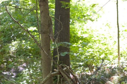 CommonsDurham NH 0082005
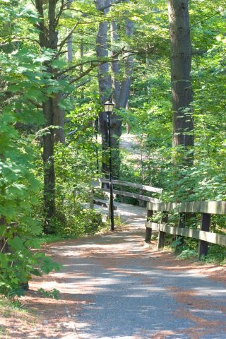 CommonsDurham NH 0072005
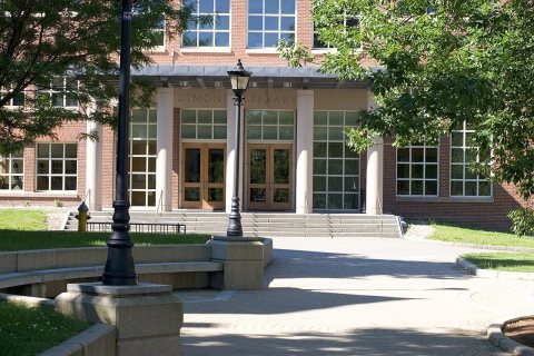 CommonsDurham NH 0062005
Then & now
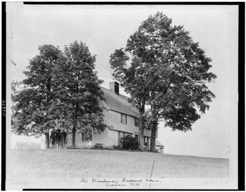
No then-and-now pairs yet. Take a photo from the same spot as The Woodman Garrison house (1896) and it appears here side by side.
🔁 Retake this view · +15Historic places
National Register · via Wikidata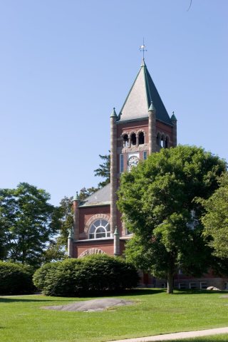
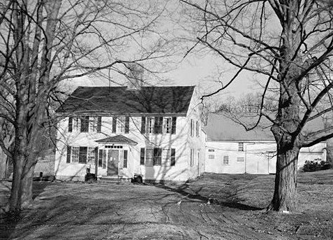
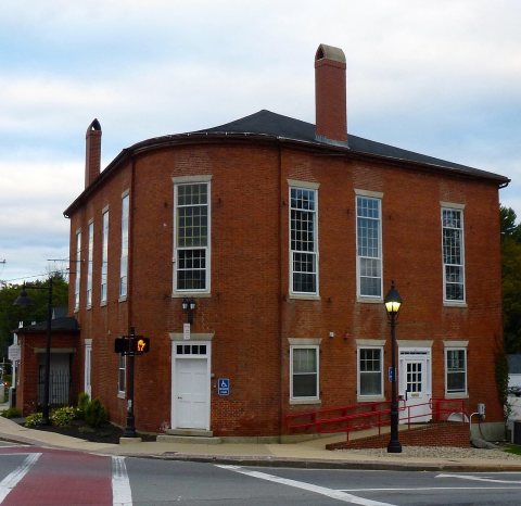
From Wikimedia Commons (34), the Library of Congress (13) and the National Register (4). Images are copied here with their credits and licenses, shown on each photo’s page. Refreshed monthly.