The story
from WikipediaRead it all ↗The region was occupied by the Pedee people, part of the South Appalachian Mississippian culture, from about 980 to 1150 CE. They built the earthwork platform mound and other structures at Town Creek Indian Mound, which was designated a National Historic Landmark in 1966 and is 5 miles (8 km) southeast of Mount Gilead. It is the only Native American site in the state to be designated as a national landmark. In the 21st century, the Pee Dee people are based in South Carolina, where the state has recognized several bands as tribes.
Text from Wikipedia, licensed CC BY-SA 4.0.
Timeline
built from the dates on the items belowFinish Mount Gilead’s story
Most archives stop around 1920. The photos from after that are in family albums, not libraries.
1 of 10 decades since 1900 have photos 🔁Retake an old viewHistory of Mt. Gilead, North Caro…, 1971: stand where they stood+15 📦Share a family photoSign in to add one+10Famous people from Mount Gilead
See all 6 →



Mount Gilead, decade by decade


1990s
1 historic place in Mount Gilead
Mount Gilead has 1 listing on the National Register, and they protect 25 historic buildings, because Mount Gilead Downtown Historic District alone counts 25.
Where they are
When they were listed
Then & now
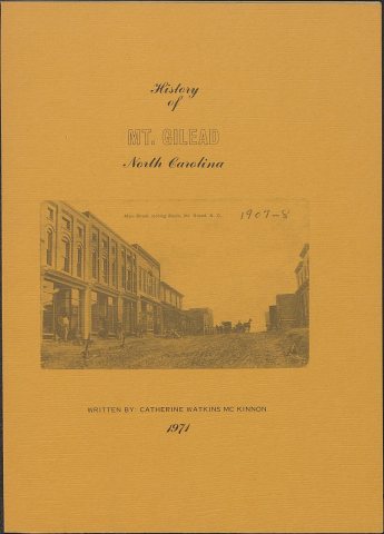
No then-and-now pairs yet. Take a photo from the same spot as History of Mt. Gilead, North Carolina (1971) and it appears here side by side.
🔁 Retake this view · +15Stories next door
nearby towns’ historyFrom Wikimedia Commons (6). Images are copied here with their credits and licenses, shown on each photo’s page. Refreshed monthly.