The story
from WikipediaRead it all ↗Located along the Chickasawhay River, the small town of Shubuta was incorporated in 1865. It had started in the 1830s as a trading post community, located near the Choctaw village of Yowani. During the period of Indian Removal, under the Treaty of Dancing Rabbit Creek, the Choctaw people ceded most of their lands to the United States. Under the Indian Removal Act, they were given land in exchange in Indian Territory (now Oklahoma), and most of the people were forced to relocate west of the Mississippi River. Their traditional homelands in the Southeast were sold or made available by lotteries to European Americans for settlement.
Text from Wikipedia, licensed CC BY-SA 4.0.
Start Shubuta’s collection
The first neighbors to add old photos shape how Shubuta’s history is told.
0 of 10 decades since 1900 have photos 📦Share a family photoSign in to add one+10Famous people from Shubuta
See all 3 →Shubuta, decade by decade
2000
5 historic places in Shubuta
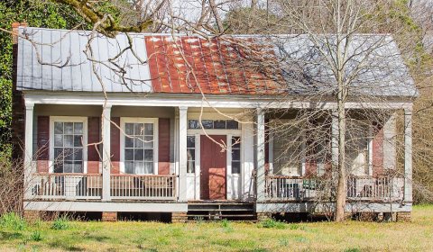
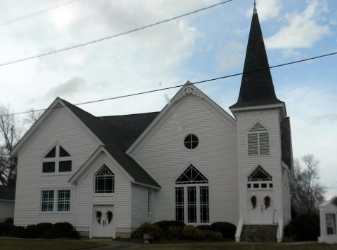
5 places in Shubuta are on the National Register of Historic Places, the country’s official list of buildings and places worth saving.
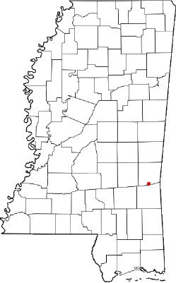
Where they are
When they were listed
 Listed 1988Shubuta Bridge
 Listed 1994Shubuta Baptist ChurchListed 1980Hand HouseListed 1980Price-Patton-Pettis HouseListed 1994Shubuta Methodist Episcopal Church, South
Then & now
When neighbors add old photos, retakes from the same spot appear here side by side.
Stories next door
nearby towns’ historyFrom Wikimedia Commons (3) and the National Register (4). Images are copied here with their credits and licenses, shown on each photo’s page. Refreshed monthly.