MOMissouri rankings

Towns where housing hasn't kept up with growth in Missouri

Ranked by how many new residents each town gained for every new home it permitted between the 2010 and 2020 censuses. 82 towns with 2,500+ residents.
U.S. Census ACS 2020–2024 5-year

#TownNew residents per new homeResidents gainedHomes permitted
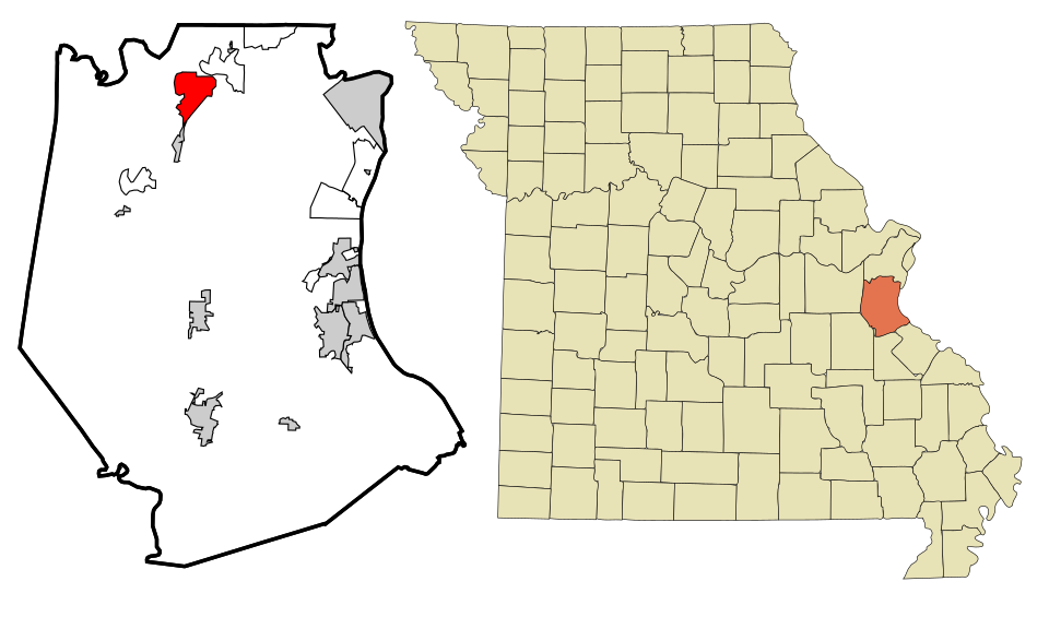
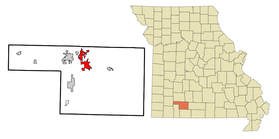
1 Map of Forsyth Forsyth2,766 people 13.6 per home 475 35
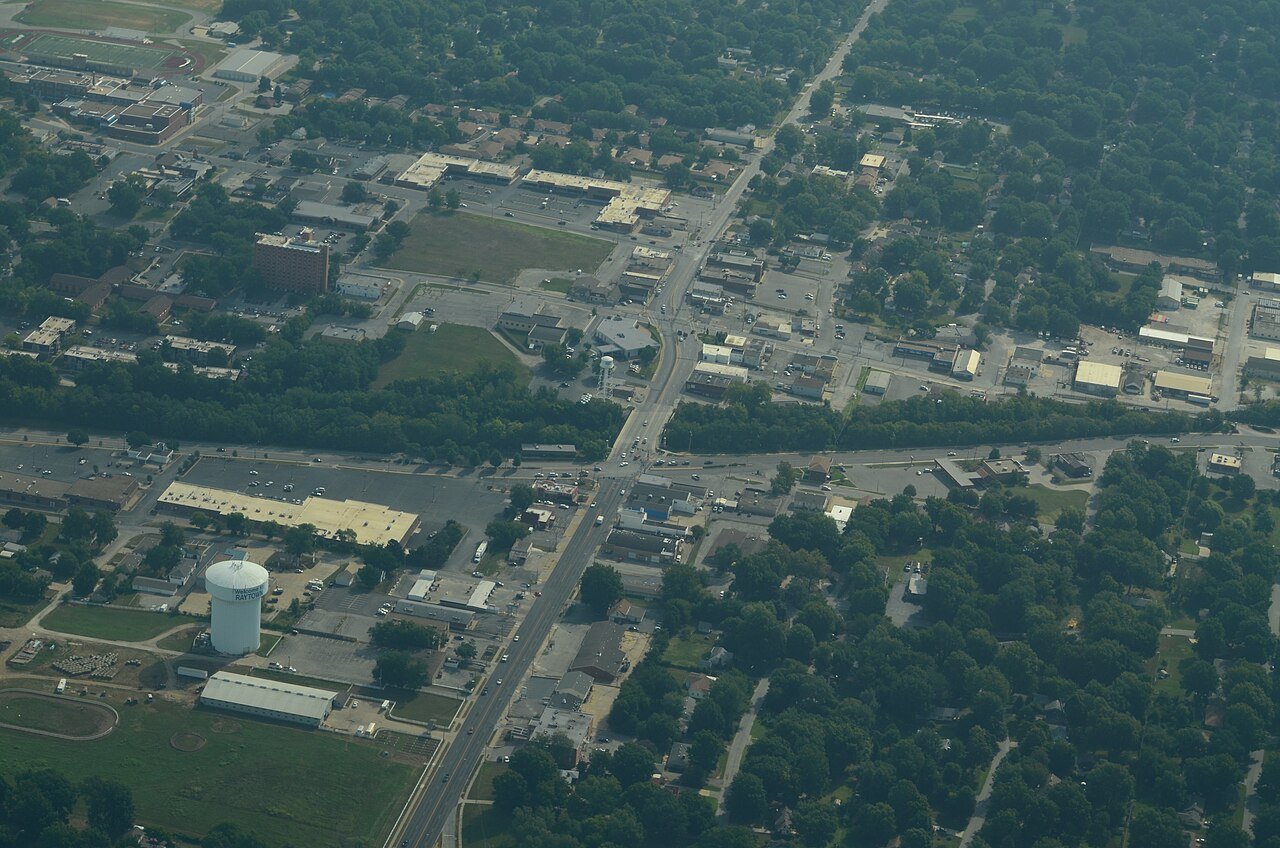
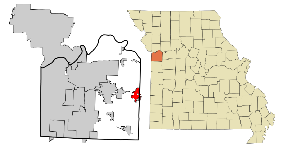
2 Raytown Raytown29,445 people 11.9 per home 486 41
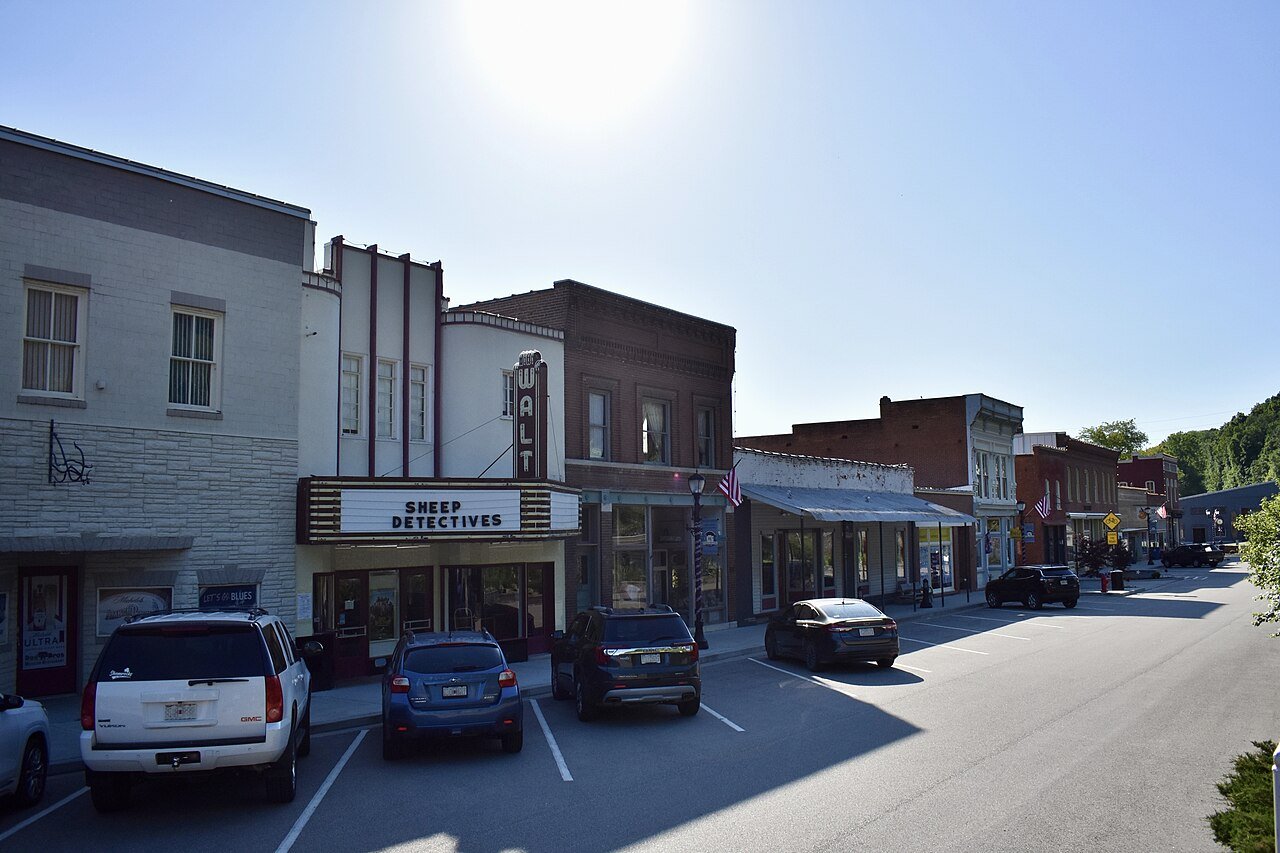
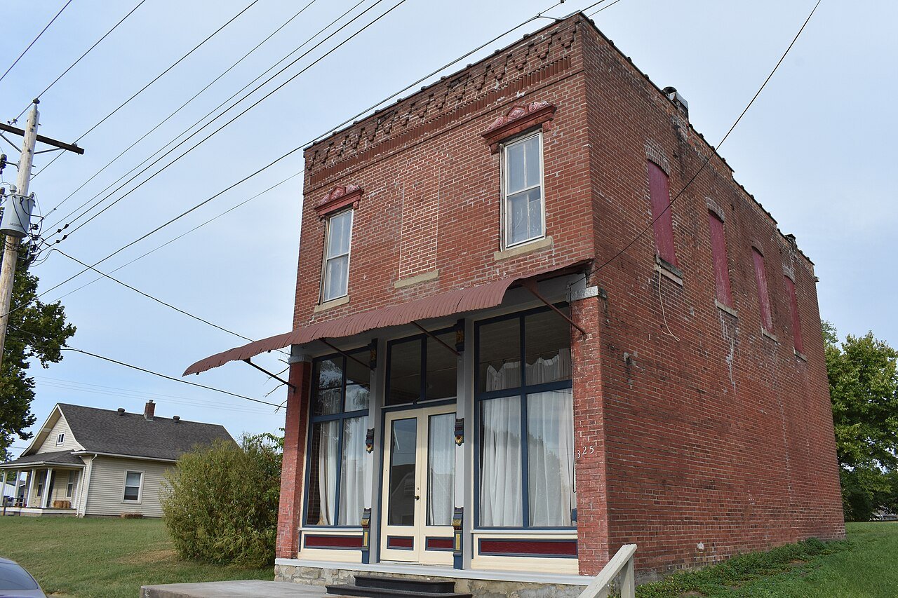
3 New Haven New Haven3,302 people 9.0 per home 325 36
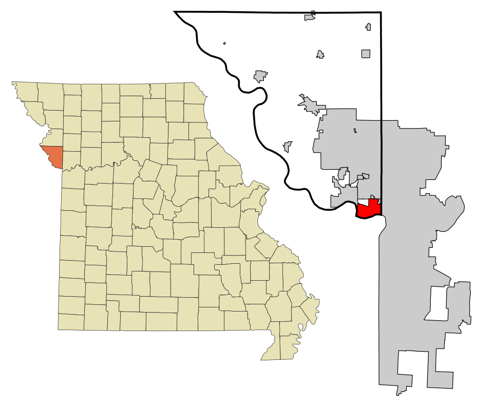
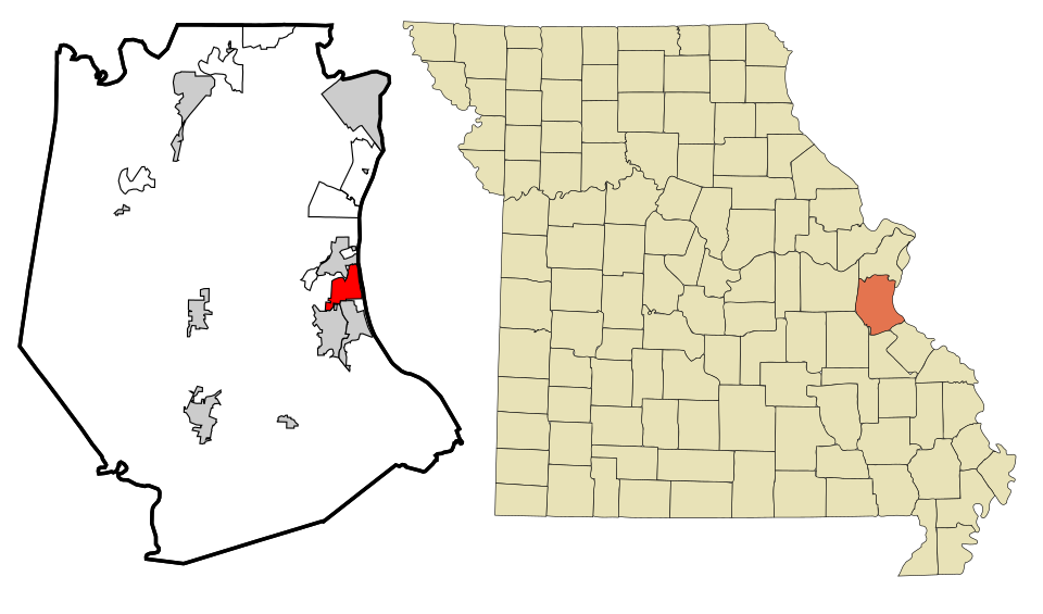
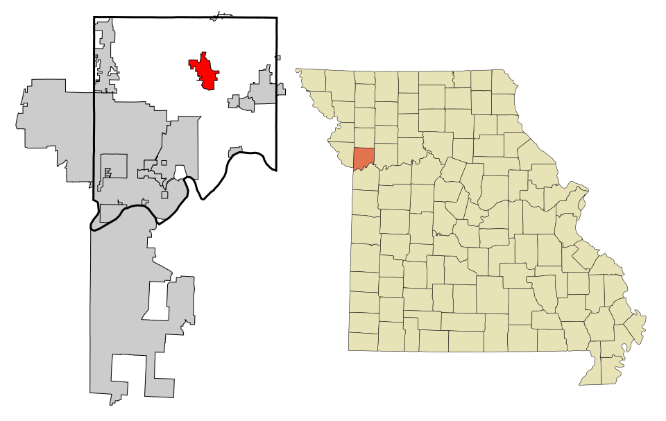
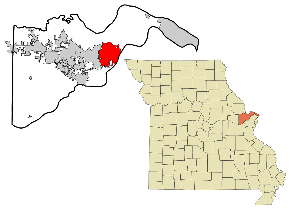
4 Map of Maryland Heights Maryland Heights27,880 people 8.8 per home 812 92
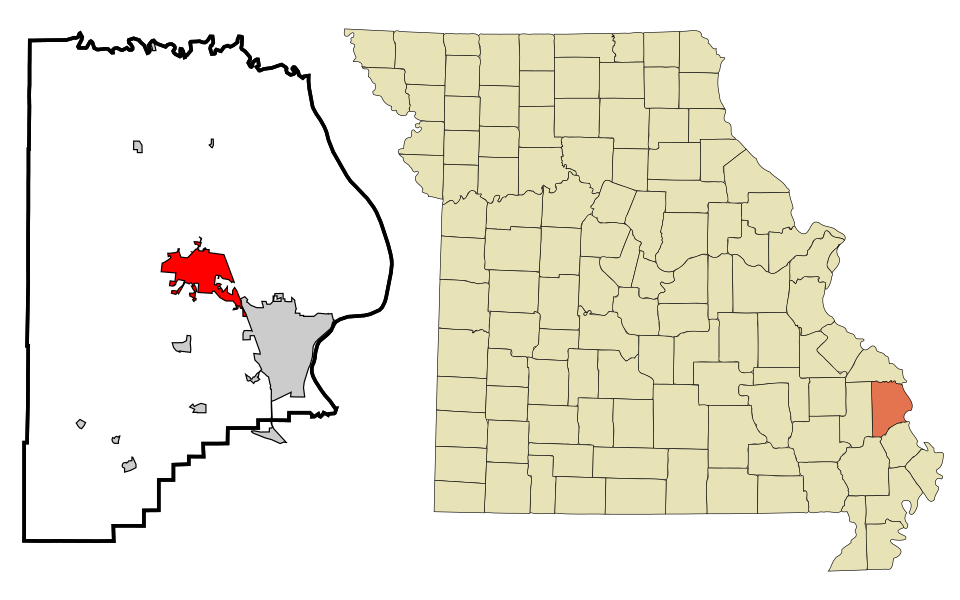
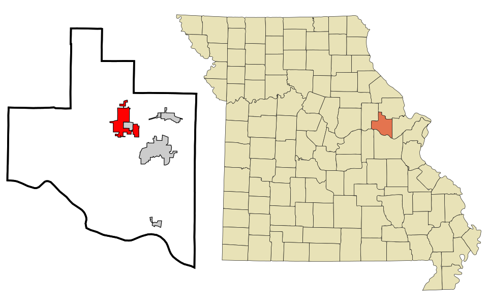
5 Fredericktown Fredericktown4,507 people 6.1 per home 444 73
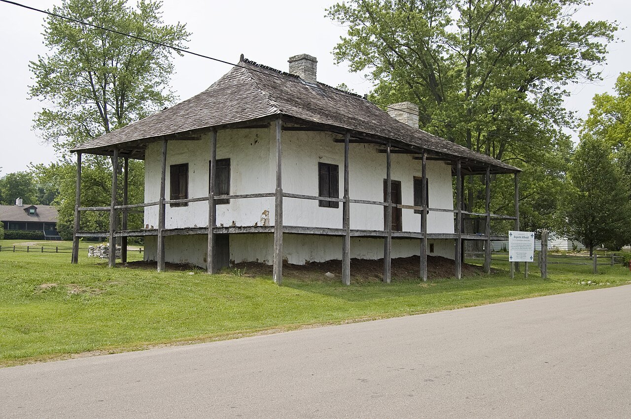
6 Ste. Genevieve Ste. Genevieve5,010 people 6.1 per home 589 97
7 Olivette Olivette8,645 people 5.2 per home 767 147
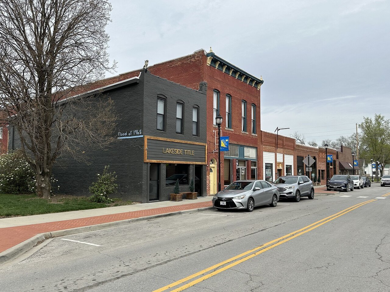
8 Map of Riverside Riverside4,276 people 5.0 per home 1,076 217
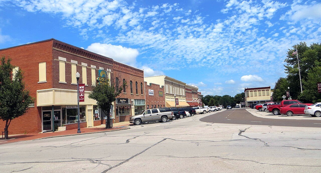
9 Marshall Marshall13,739 people 4.3 per home 741 171
10 Map of Gladstone Gladstone27,207 people 4.1 per home 1,653 400
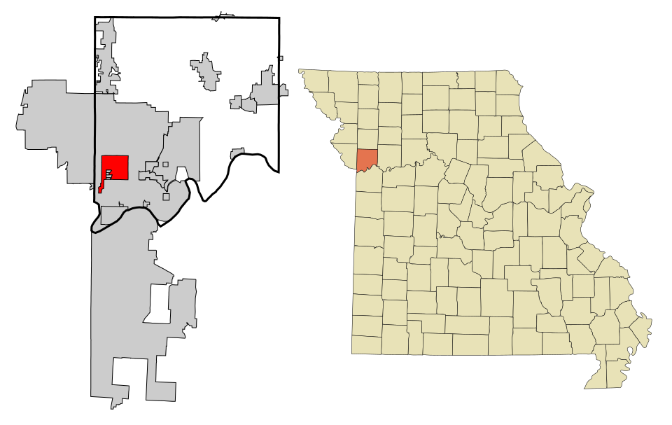
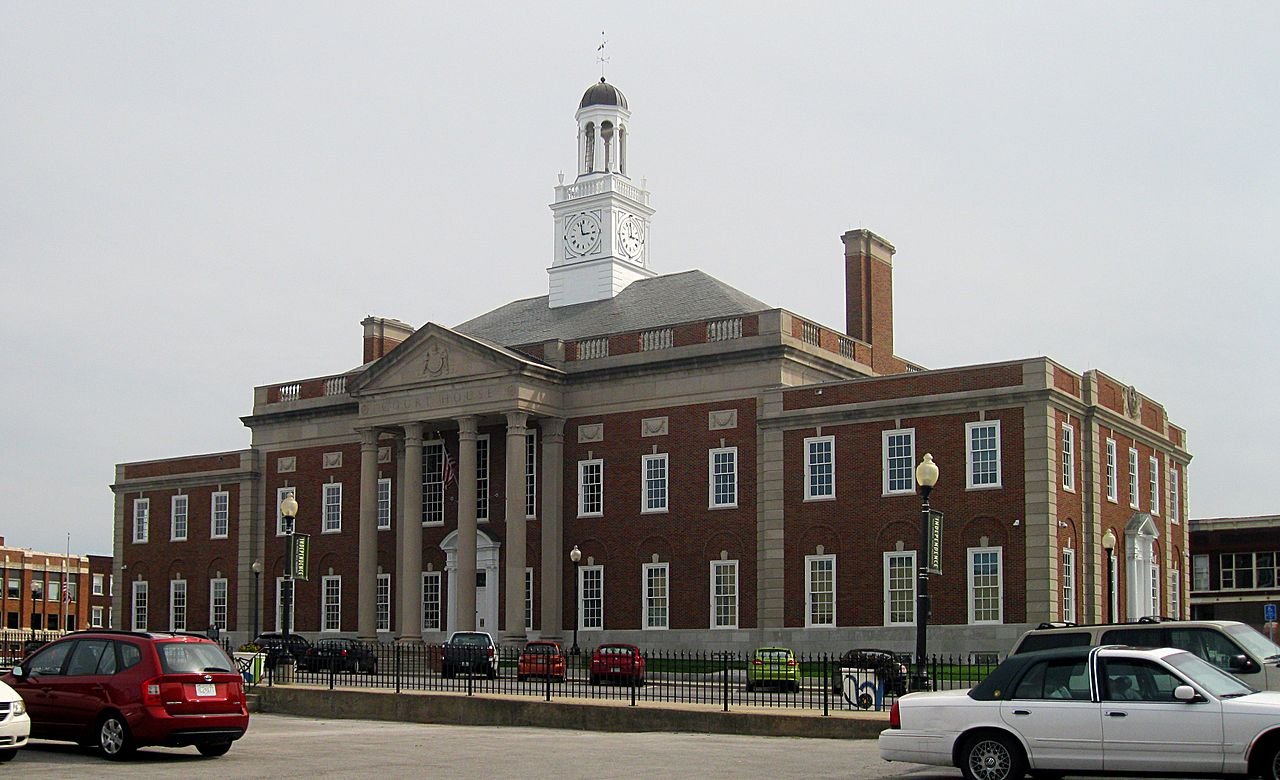
11 Independence Independence121,740 people 4.0 per home 6,181 1,541
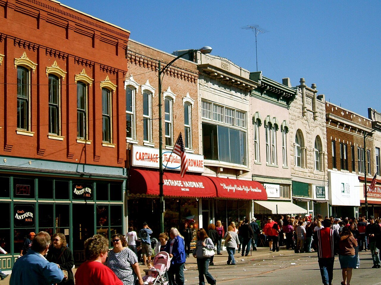
12 Carthage Carthage15,574 people 3.9 per home 1,144 297
13 Des Peres Des Peres9,170 people 3.7 per home 820 220
14 Florissant Florissant51,773 people 3.7 per home 375 102
15 Monett Monett9,873 people 3.7 per home 703 192
16 Town and Country Town and Country11,607 people 3.4 per home 825 240
17 Ballwin Ballwin31,279 people 3.4 per home 699 208
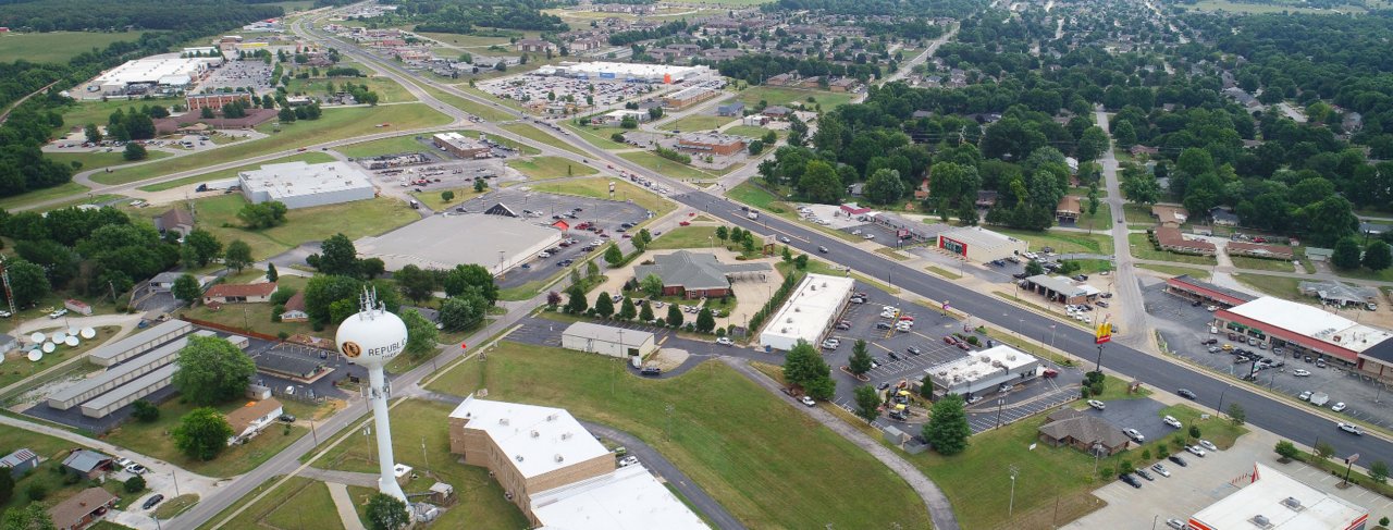
18 Republic Republic19,829 people 3.3 per home 3,999 1,214
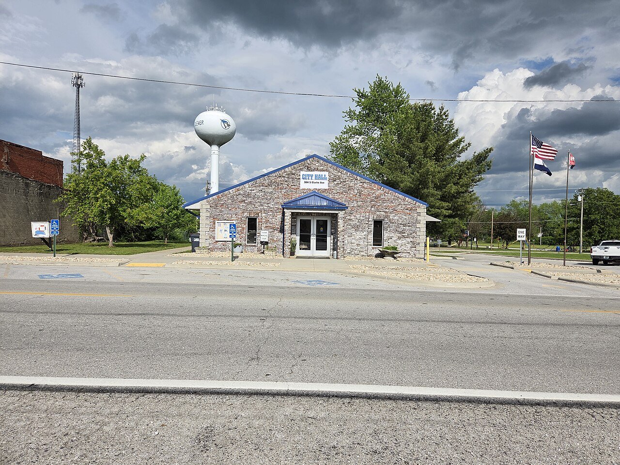
19 Clever Clever3,030 people 3.3 per home 779 239
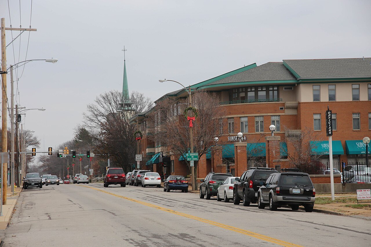
20 Kirkwood Kirkwood29,363 people 3.2 per home 1,921 597
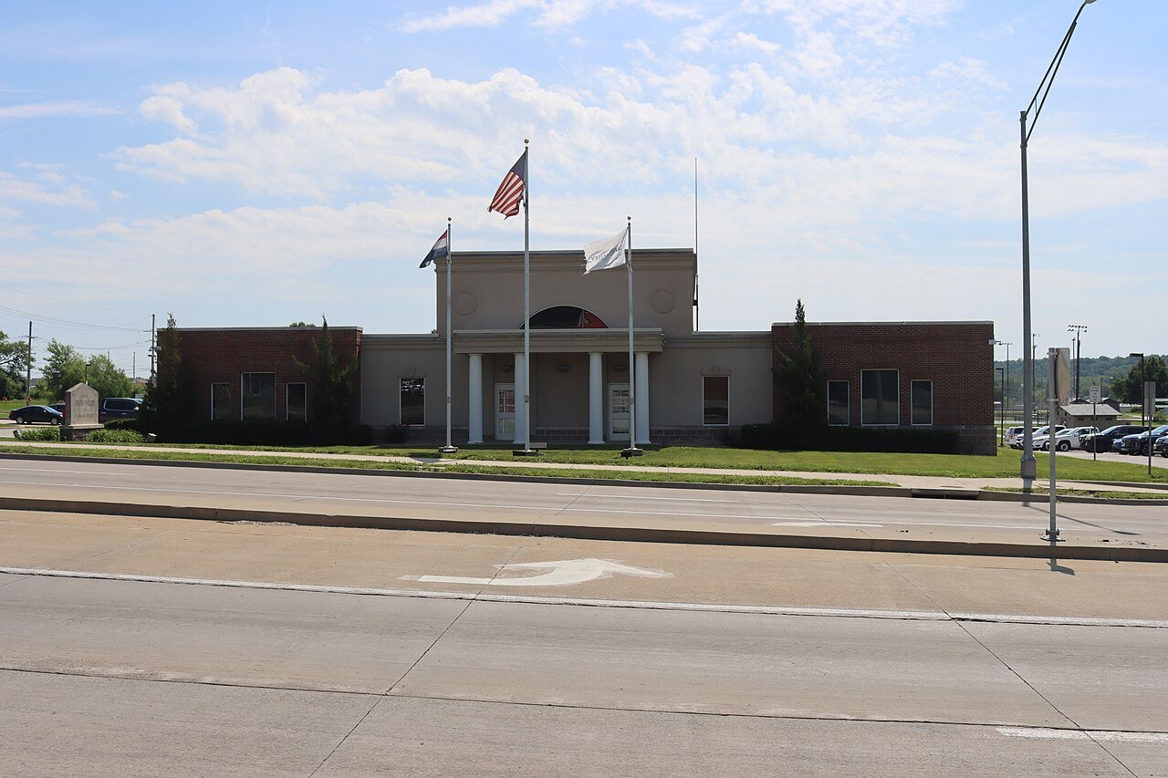
21 Grain Valley Grain Valley16,271 people 3.2 per home 2,773 865
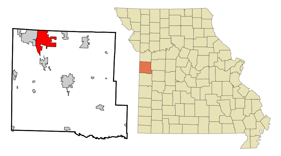
22 Marshfield Marshfield7,696 people 3.2 per home 825 261
23 Webster Groves Webster Groves23,712 people 3.1 per home 1,015 324
24 Map of Rogersville Rogersville4,908 people 3.1 per home 824 263
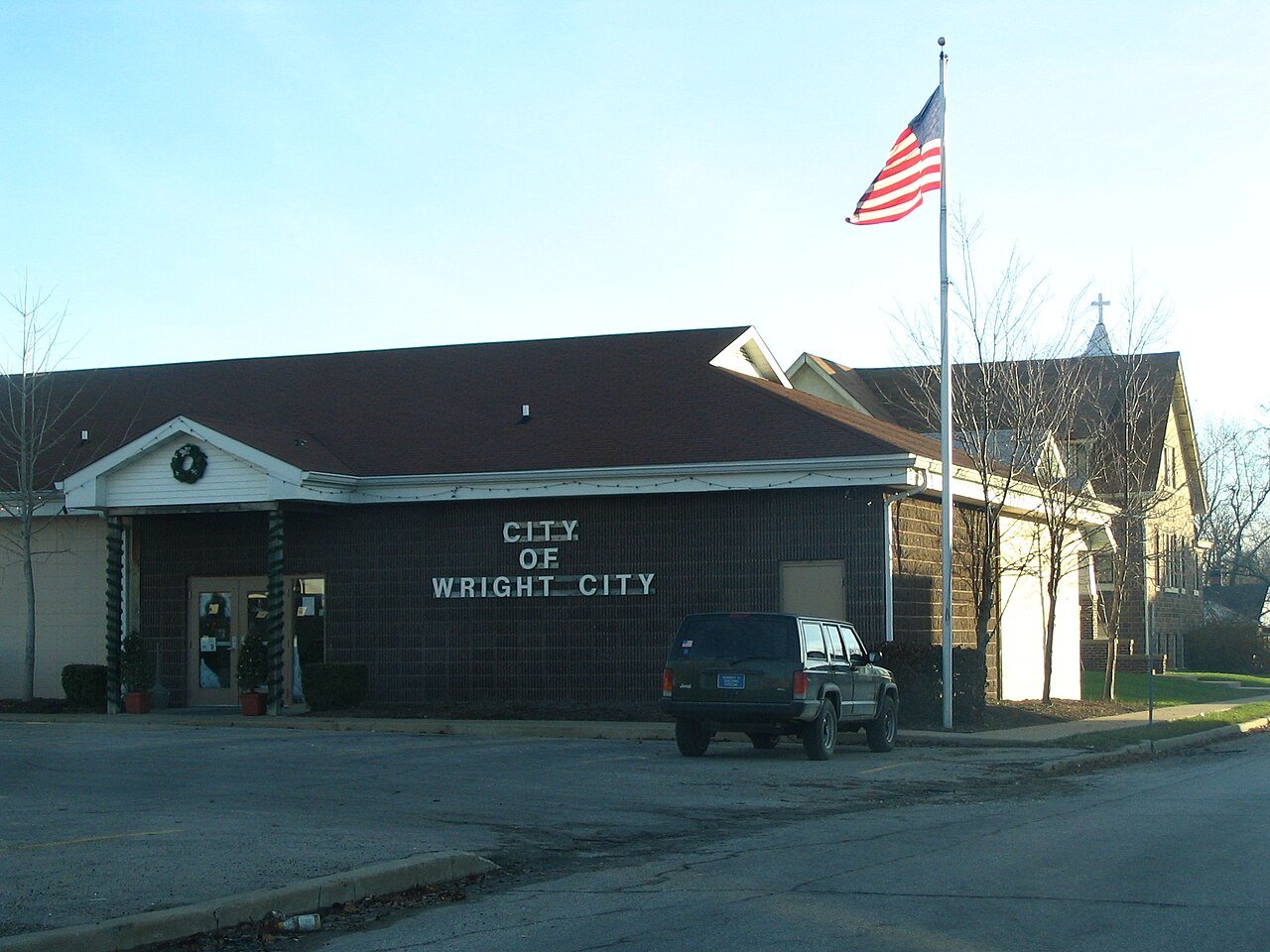
25 Wright City Wright City5,240 people 3.1 per home 1,762 567
26 Map of Byrnes Mill Byrnes Mill3,189 people 3.0 per home 392 129
27 Map of Herculaneum Herculaneum5,071 people 3.0 per home 1,204 399
28 Map of Ozark Ozark22,417 people 3.0 per home 3,464 1,151
29 Hillsboro Hillsboro3,500 people 3.0 per home 652 219
30 Troy Troy13,947 people 3.0 per home 2,146 722
31 Blue Springs Blue Springs59,965 people 2.9 per home 6,028 2,075
32 Wentzville Wentzville47,061 people 2.9 per home 15,302 5,263
33 Map of Webb City Webb City13,221 people 2.9 per home 2,035 700
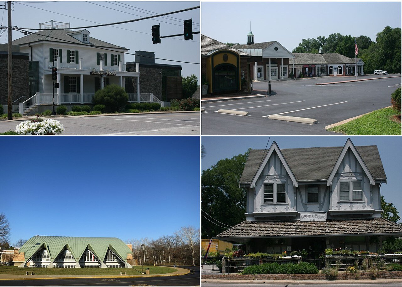
34 Ladue Ladue8,940 people 2.9 per home 468 161
35 Map of Greenwood Greenwood6,013 people 2.9 per home 800 277
36 Eureka Eureka13,081 people 2.9 per home 1,457 510
37 O'Fallon O'Fallon93,801 people 2.8 per home 11,987 4,337
38 Holts Summit Holts Summit4,609 people 2.8 per home 1,211 440
39 Branson Branson12,817 people 2.7 per home 2,118 779
40 Festus Festus13,201 people 2.7 per home 1,104 407
41 Map of Nixa Nixa24,836 people 2.7 per home 4,235 1,583
42 Map of Raymore Raymore24,526 people 2.6 per home 3,735 1,428
43 Neosho Neosho13,224 people 2.6 per home 755 289
44 Kansas City Kansas City510,612 people 2.6 per home 48,303 18,601
45 Map of Kearney Kearney10,885 people 2.6 per home 2,023 781
46 Moscow Mills Moscow Mills3,823 people 2.5 per home 808 319
47 Smithville Smithville10,705 people 2.5 per home 1,981 792
48 Map of Jackson Jackson15,659 people 2.4 per home 1,723 715
49 Map of Ellisville Ellisville10,002 people 2.4 per home 852 355
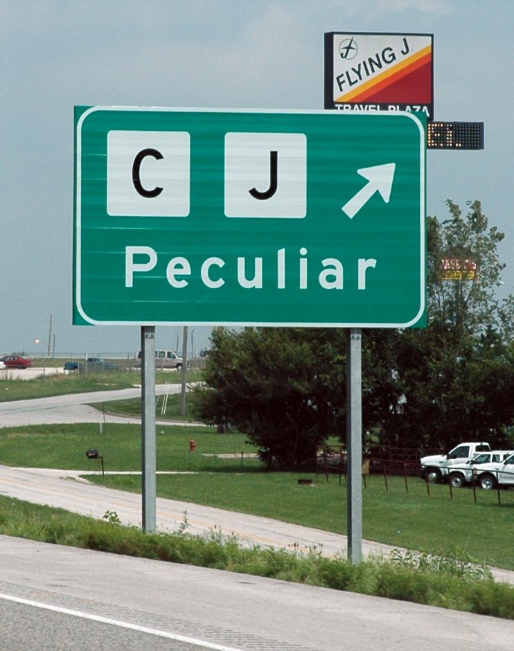
50 Peculiar Peculiar5,958 people 2.3 per home 1,013 450
51 Cottleville Cottleville5,937 people 2.3 per home 2,536 1,125
52 Map of Pevely Pevely6,055 people 2.2 per home 542 243
53 Union Union12,781 people 2.2 per home 2,144 987
54 Richmond Heights Richmond Heights9,153 people 2.2 per home 683 315
55 Map of Pleasant Hill Pleasant Hill8,847 people 2.2 per home 664 306
56 Map of Lee's Summit Lee's Summit103,656 people 2.0 per home 9,744 4,981
57 St. Peters St. Peters59,092 people 1.9 per home 5,157 2,735
58 Map of Dardenne Prairie Dardenne Prairie13,503 people 1.9 per home 1,249 661
59 Belton Belton25,008 people 1.8 per home 837 476
60 Map of Carl Junction Carl Junction8,339 people 1.7 per home 698 403
61 Pacific Pacific7,475 people 1.7 per home 412 240
62 Sedalia Sedalia22,003 people 1.7 per home 338 198
63 Lake St. Louis Lake St. Louis18,066 people 1.7 per home 2,162 1,267
64 Liberty Liberty30,689 people 1.7 per home 1,018 609
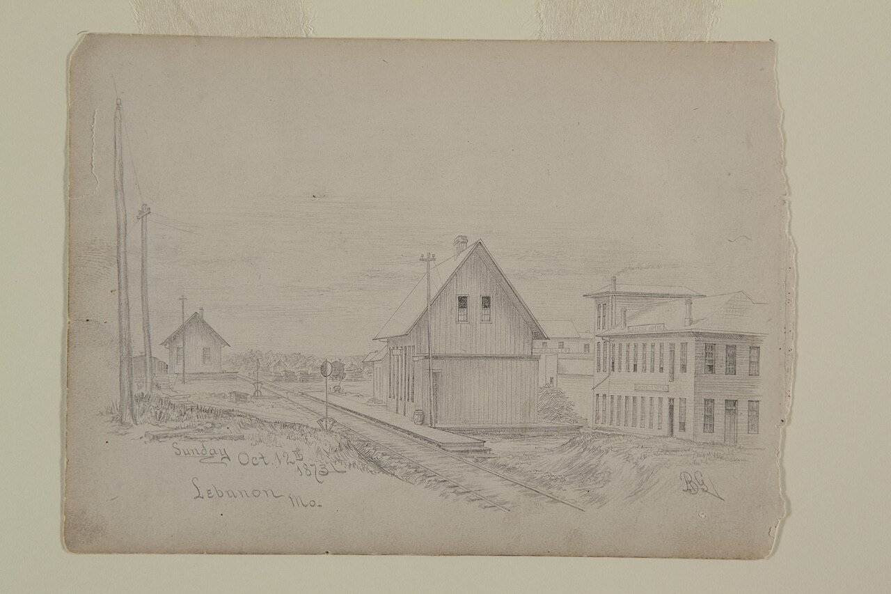
65 Lebanon Lebanon15,270 people 1.7 per home 539 326
66 Parkville Parkville8,366 people 1.6 per home 1,563 967
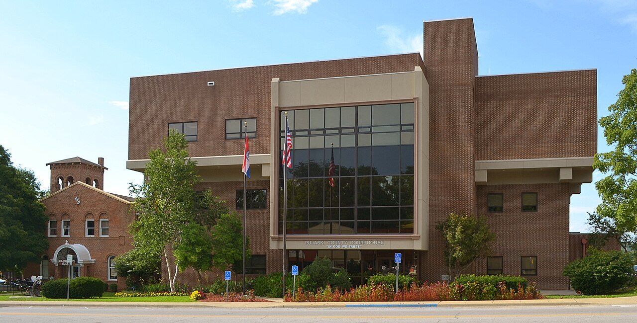
67 Waynesville Waynesville5,442 people 1.6 per home 576 360
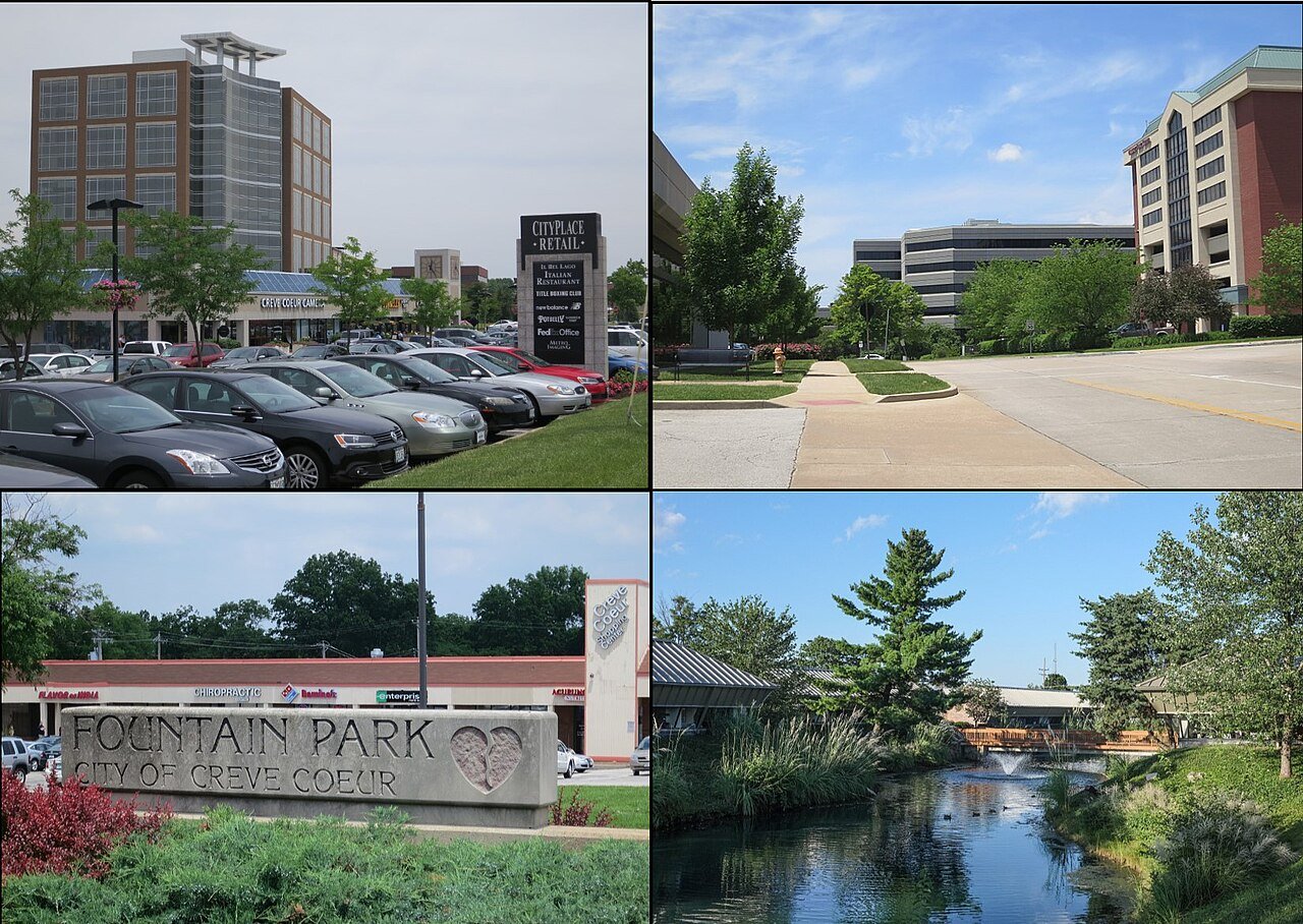
68 Creve Coeur Creve Coeur18,643 people 1.5 per home 1,001 650
69 Springfield Springfield169,954 people 1.4 per home 9,678 6,738
70 Map of St. Charles St. Charles71,508 people 1.4 per home 4,699 3,304
71 Map of Warrenton Warrenton9,066 people 1.2 per home 549 443
72 Map of Oak Grove Oak Grove8,538 people 1.2 per home 362 292
73 Washington Washington15,130 people 1.2 per home 518 433
74 Perryville Perryville8,536 people 1.2 per home 330 280
75 Farmington Farmington18,282 people 1.1 per home 1,977 1,740
76 Osage Beach Osage Beach4,905 people 1.1 per home 286 265
77 Bolivar Bolivar11,170 people 1.0 per home 354 371
78 St. Robert St. Robert5,356 people 0.9 per home 852 949
79 Map of Battlefield Battlefield6,165 people 0.9 per home 400 448
80 Joplin Joplin52,593 people 0.8 per home 1,612 2,102
81 North Kansas City4,983 people 0.7 per home 259 359
82 Cape Girardeau Cape Girardeau40,344 people 0.6 per home 1,599 2,684

How this ranking works

We take each town’s population change between the 2010 and 2020 censuses and divide it by the new homes its building permits authorized over 2010–2019. The result is how many new residents arrived for every new home. A high number means people came faster than homes were built, so existing homes filled up: larger households, fewer vacancies and tighter supply. The highest ratio ranks #1. Across Missouri it’s 1.1 per home.

Only towns that gained at least 250 residents and permitted at least 10 homes are ranked, because a ratio built on a handful of either is noise. College towns, where 20% or more of residents are enrolled in college, are left out: a growing college adds dorm students as residents, but dorms never show up as permitted homes.

Only towns with at least 2,500 residents are ranked; Census estimates for smaller places are too uncertain. Population and income: U.S. Census Bureau American Community Survey 5-year estimates. New homes: U.S. Census Bureau Building Permits Survey. Residents: 2010 and 2020 decennial censuses. Town photos: Wikimedia Commons, credited on each town’s page.

Same ranking in other states