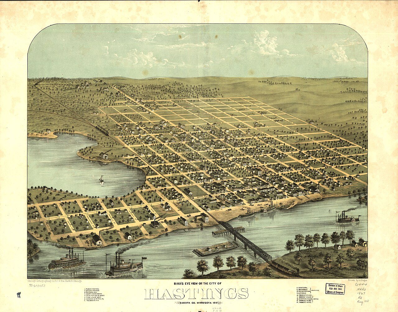
Hastings’s history is
mostly unwritten
The public archives hold only 2 old photos of Hastings. The rest are in attics, shoeboxes and the historical society. Help start the collection.
The story
from WikipediaRead it all ↗In the winter of 1820, a military detachment from Fort Snelling settled the area around Hastings to guard a blocked shipment of supplies. Lieutenant William G. Oliver camped in an area that came to be known as Oliver's Grove; in 1833 a trading post was opened there. After the Treaty of Mendota of 1851 opened the area for white settlement, Oliver's Grove was surveyed and incorporated as a city in 1857, a year before Minnesota's admission to the Union. The same year, Hastings was named the county seat of Dakota County. The name "Hastings" was drawn out of a bucket from suggestions placed in it by several of the original founders.
Text from Wikipedia, licensed CC BY-SA 4.0.
Timeline
built from the dates on the items belowStart Hastings’s collection
The first neighbors to add old photos shape how Hastings’s history is told.
0 of 10 decades since 1900 have photos 🔁Retake an old viewBird's eye view of the city of Ha…, 1867: stand where they stood+15 📦Share a family photoSign in to add one+10Famous people from Hastings
See all 18 →
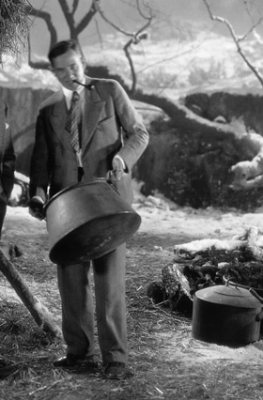


Hastings, decade by decade
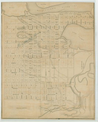
Then & now
No then-and-now pairs yet. Take a photo from the same spot as Bird's eye view of the city of Hastings, Dakota Co., Minnesota 1867 (1867) and it appears here side by side.
🔁 Retake this view · +15Historic places
National Register · via Wikidata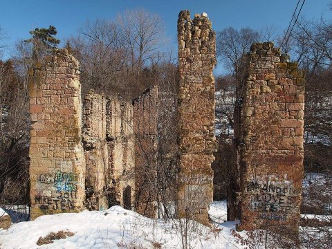
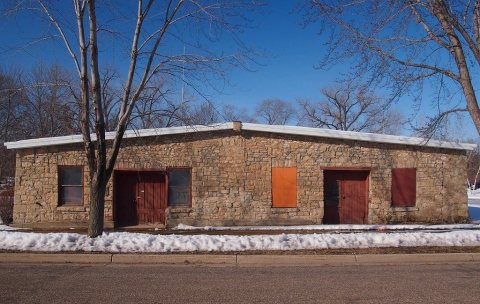
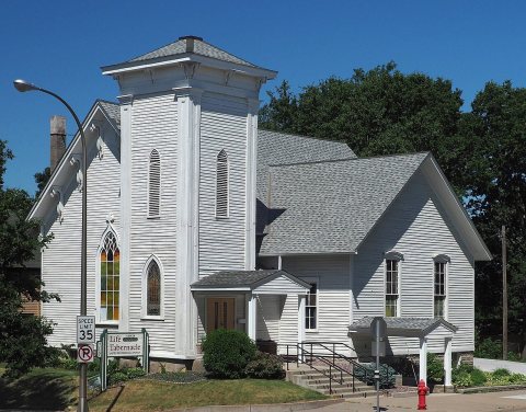
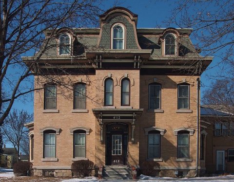
From Wikimedia Commons (2) and the National Register (4). Images are copied here with their credits and licenses, shown on each photo’s page. Refreshed monthly.