Niles’s history is
mostly unwritten
The public archives hold only 3 old photos of Niles. The rest are in attics, shoeboxes and the historical society. Help start the collection.
The story
from WikipediaRead it all ↗Niles lies on the banks of the St. Joseph River, at the site of the French Fort St. Joseph, which was built in 1697 to protect the Jesuit Mission established in 1691. After 1761, it was held by the British and was captured on May 25, 1763, by Native Americans during Pontiac's Rebellion. The British retook the fort but it was not re-garrisoned and served as a trading post. During the American Revolutionary War, the fort was held for a short time by a Spanish force. The occupation of the fort by the four nations of France, Britain, Spain, and the United States has earned Niles the nickname City of Four Flags.
Text from Wikipedia, licensed CC BY-SA 4.0.
Timeline
built from the dates on the items belowStart Niles’s collection
The first neighbors to add old photos shape how Niles’s history is told.
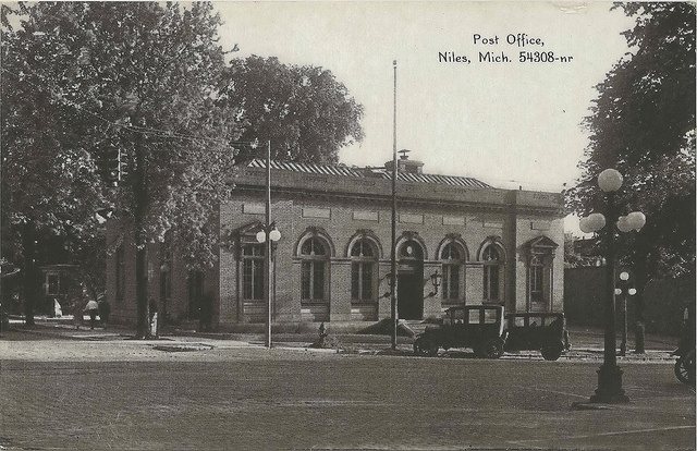
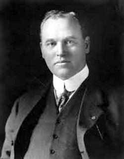
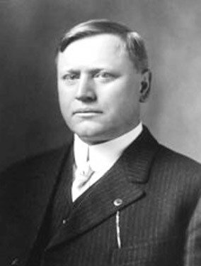
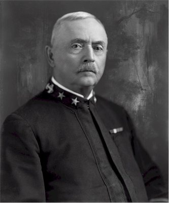
2 of 10 decades since 1900 have photos 🔁Retake an old viewPost Office, c. 1909: stand where they stood+15 📦Share a family photoSign in to add one+10Famous people from Niles
See all 25 →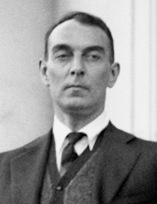
Niles, decade by decade
1960s
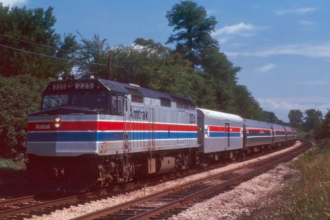
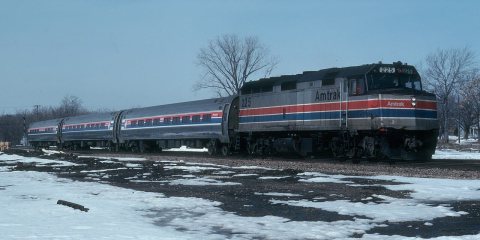
1990s
Then & now
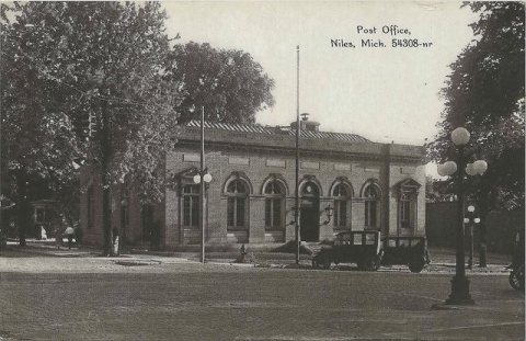
No then-and-now pairs yet. Take a photo from the same spot as Post Office (c. 1909) and it appears here side by side.
🔁 Retake this view · +15Historic places
National Register · via Wikidata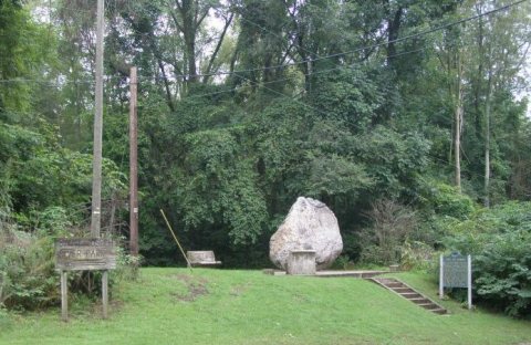
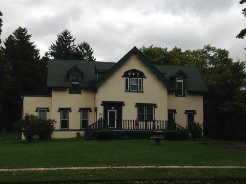
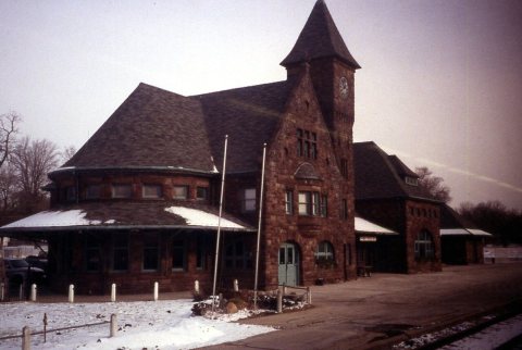
From Wikimedia Commons (3) and the National Register (3). Images are copied here with their credits and licenses, shown on each photo’s page. Refreshed monthly.