The story
from WikipediaRead it all ↗The land surrounding Mt. Katahdin is believed to have been utilized by Penobscot and Wolastoqiyik for thousands of years. Local names for peaks, waterways, and other landmarks reflect this heritage.
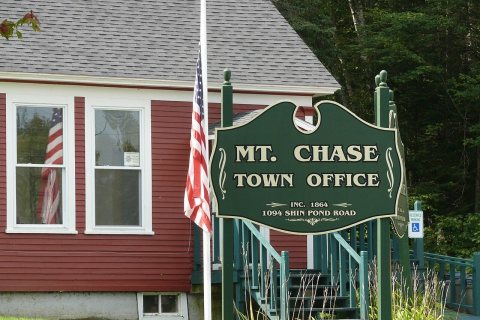
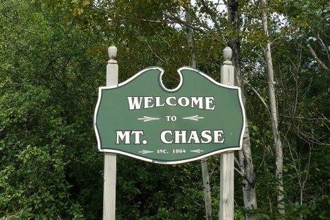
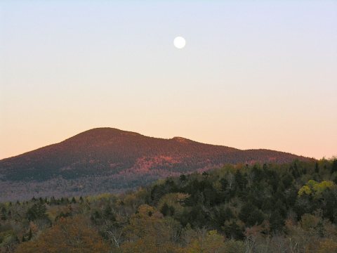
The town of Mount Chase acquired its name from its prominent mountain peak, described above. Its first permanent residents are dated to 1838, although two families are included in the 1837 Maine Census. In 1860 the population was 250, and in 1862 it was organized and renamed the Mount Chase Plantation. On March 2, 1864, it became the town of Mount Chase. In 1880 it had 310 residents; in 1900 there were 299.
Text from Wikipedia, licensed CC BY-SA 4.0.
Start Mount Chase’s collection
The first neighbors to add old photos shape how Mount Chase’s history is told.
0 of 10 decades since 1900 have photos 📦Share a family photoSign in to add one+10Mount Chase, decade by decade
2000
Then & now
When neighbors add old photos, retakes from the same spot appear here side by side.
Stories next door
nearby towns’ historyFrom Wikimedia Commons (7). Images are copied here with their credits and licenses, shown on each photo’s page. Refreshed monthly.