The story
from WikipediaRead it all ↗The town is named for the Scaggs family, who settled 700 acres (2.8 km2) of farmland in the 1830s and continue to live in the region. The area also used the name "Hells Corner" as a postal address in Civil War times. The historic path running through town was shown on maps as far back as 1795. This path is now named Lime Kiln Road, Scaggsville Road, and Whiskey Bottom Road. In the 19th century, Scaggsville was a stagecoach stop on the trip from Washington, D.C., to Baltimore. Stagecoaches would ford the Patuxent River until a wooden bridge was built in 1859, which washed out in an 1868 flood. Three additional bridges washed out by 1883 before a steel truss bridge was built. In 1941, the Maryland Gazette reported that the town consisted of 15 households. Today, it has grown to a suburban community made up of several neighborhoods.
Text from Wikipedia, licensed CC BY-SA 4.0.
Start Scaggsville’s collection
The first neighbors to add old photos shape how Scaggsville’s history is told.
0 of 10 decades since 1900 have photos 📦Share a family photoSign in to add one+10Scaggsville, decade by decade
2000
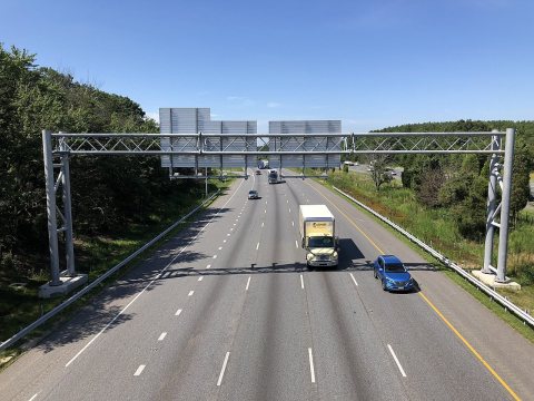 Commons2019-07-15 10 28 28 View south along the northbound lanes o…2019
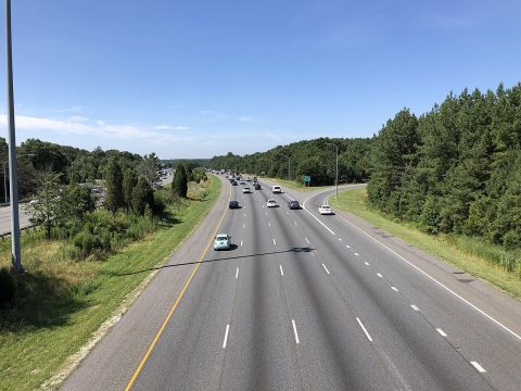 Commons2019-07-15 10 27 42 View south along the southbound lanes o…2019
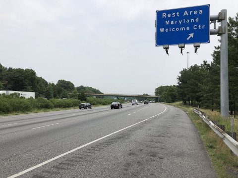 Commons2019-06-05 12 25 11 View north along Interstate 95 at the e…2019
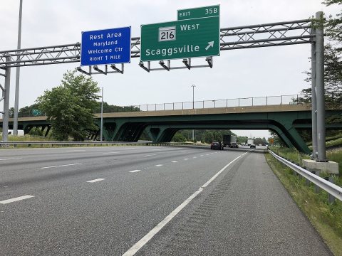 Commons2019-06-05 12 23 12 View north along Interstate 95 at Exit …2019
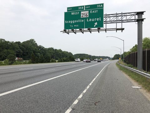 Commons2019-06-05 12 21 01 View north along Interstate 95 at Exit …2019
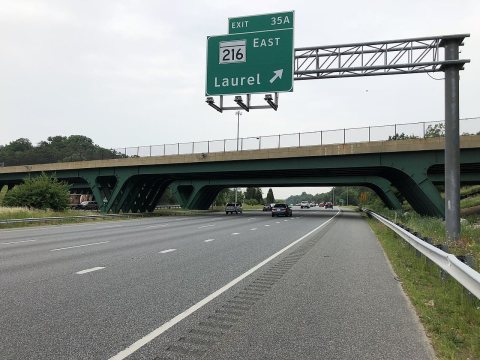 Commons2019-06-05 11 45 42 View south along Interstate 95 at Exit …2019
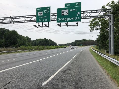 Commons2019-06-05 11 44 15 View south along Interstate 95 at Exit …2019
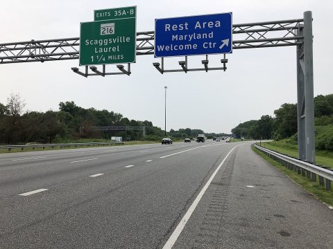 Commons2019-06-05 11 42 17 View south along Interstate 95 at the e…2019
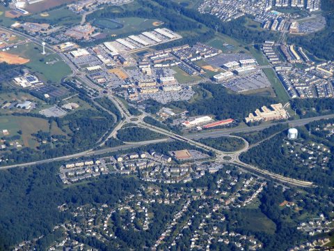 CommonsAerial view of routes 29 and 216 interchange, September 20182018
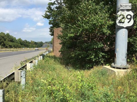 Commons2016-09-17 14 33 38 View north along U.S. Route 29 (Columbi…2016
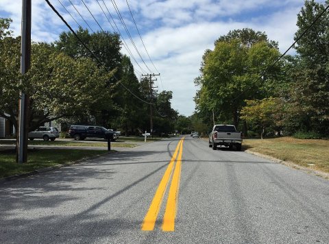 Commons2016-09-16 13 44 57 View north along Maryland State Route 9…2016
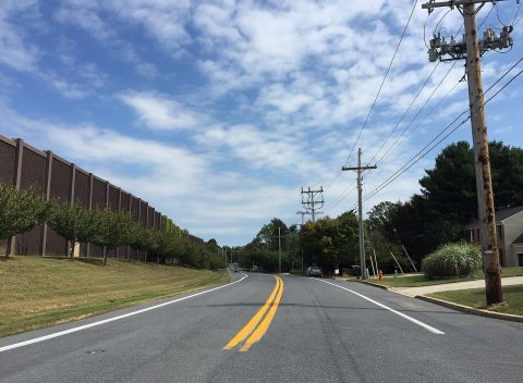 Commons2016-09-16 13 41 20 View east along Maryland State Route 21…2016
Nothing in Scaggsville is on the National Register yet
That’s true of most small towns. It doesn’t mean Scaggsville has no history, only that no one has written up a nomination. The closest listed place is Granite Park in Columbia, 2.4 miles away.
Scaggsville and the nearest listed places


How a place gets listed
Then & now
When neighbors add old photos, retakes from the same spot appear here side by side.
Stories next door
nearby towns’ historyFrom Wikimedia Commons (12). Images are copied here with their credits and licenses, shown on each photo’s page. Refreshed monthly.