The story so far
from Wikipedia & the U.S. CensusRayville is a town in and the parish seat of Richland Parish in northeastern Louisiana, United States. The population was 3,347 in the 2020 census, down nearly 21 percent from 4,234 in 2000. The City Hall, located next to the U.S. Post Office across from U.S. Highway 80, is named for former Rayville Mayor Joe Kalil (1922–1996).
Between the 2010 and 2020 censuses its population fell from 3,695 to 3,347 (-9%). Half of its homes were built before 1976.
Wikipedia doesn’t have a history of Rayville yet — the old photos, dates and memories neighbors add here are how it gets written.
Intro from Wikipedia, licensed CC BY-SA 4.0. Population and housing: U.S. Census Bureau.
Timeline
built from the dates on the items belowStart Rayville’s collection
The first neighbors to add old photos shape how Rayville’s history is told.
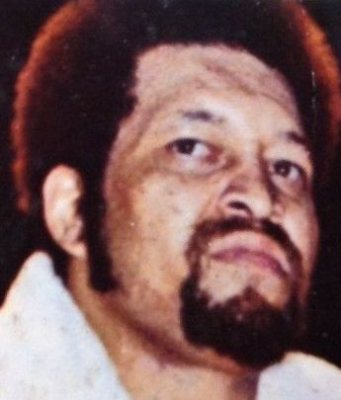
0 of 10 decades since 1900 have photos 🔁Retake an old view1950 Census Enumeration District …, 1880: stand where they stood+15 📦Share a family photoSign in to add one+10Famous people from Rayville
See all 15 →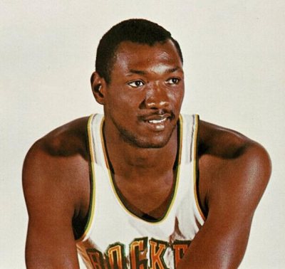

Rayville, decade by decade
1990s
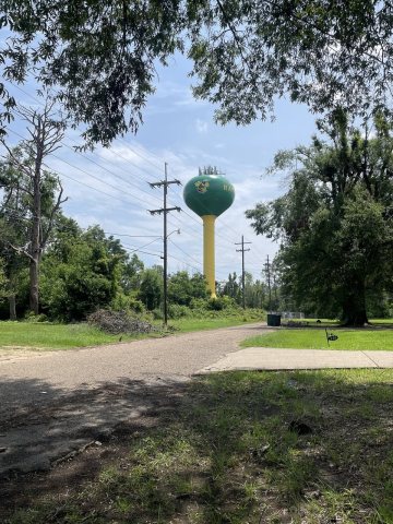
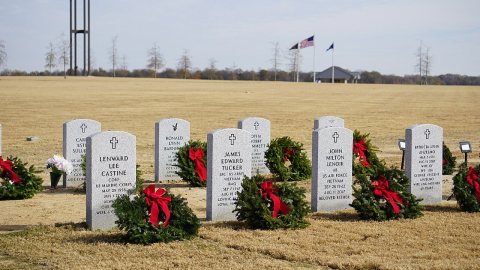
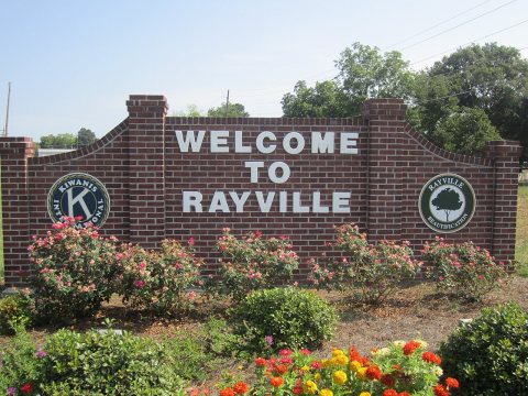
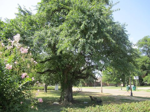
3 historic places in Rayville
3 places in Rayville are on the National Register of Historic Places, the country’s official list of buildings and places worth saving.
Where they are
When they were listed
Then & now
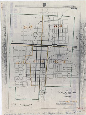
No then-and-now pairs yet. Take a photo from the same spot as 1950 Census Enumeration District Maps - Louisiana (LA) - Richland Parish - Rayville - ED 42-12 to 16 (1880) and it appears here side by side.
🔁 Retake this view · +15Stories next door
nearby towns’ historyFrom Wikimedia Commons (5) and the National Register (2). Images are copied here with their credits and licenses, shown on each photo’s page. Refreshed monthly.