The story
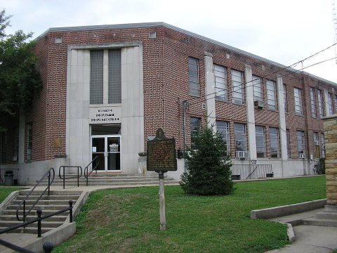
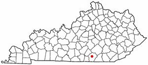
from WikipediaRead it all ↗Monticello was designated as the county seat when the Wayne County was formed in 1800. The first Wayne county clerk, Micah Taul, named the town after Thomas Jefferson's plantation and home; Jefferson was elected President of the United States that year. Joshua Jones, a surveyor and Revolutionary War veteran, laid out the town on 13 acres owned by William Beard. By 1810, the population numbered 27.
In the late 1800s, oil was discovered in Wayne County, creating an economic boost. Drilling began in these local oil fields in the 1880s, and was renewed in 1921 and 1922.
Text from Wikipedia, licensed CC BY-SA 4.0.
Start Monticello’s collection
The first neighbors to add old photos shape how Monticello’s history is told.
0 of 10 decades since 1900 have photos 📦Share a family photoSign in to add one+10Famous people from Monticello
See all 8 →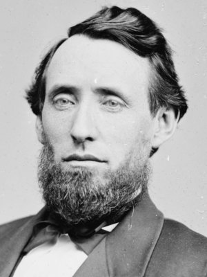


Monticello, decade by decade
2000
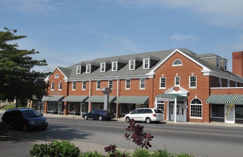
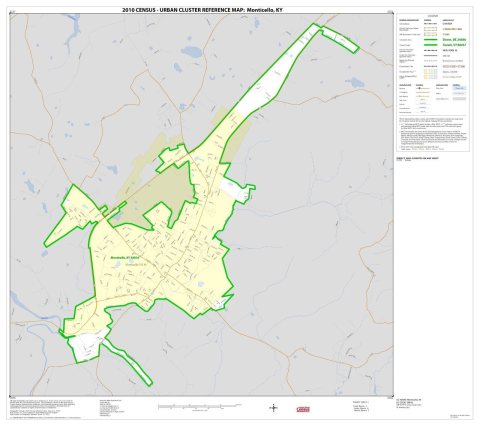
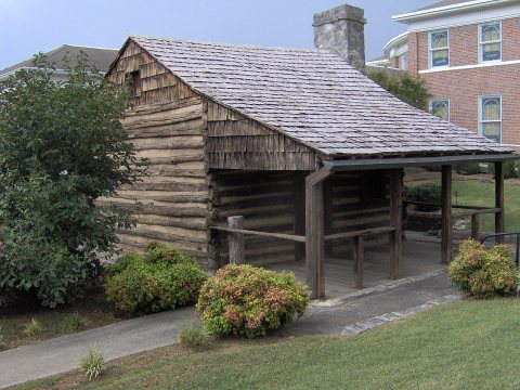
Then & now
When neighbors add old photos, retakes from the same spot appear here side by side.
Historic places
National Register · via Wikidata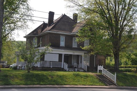
From Wikimedia Commons (5) and the National Register (1). Images are copied here with their credits and licenses, shown on each photo’s page. Refreshed monthly.