The story
from WikipediaRead it all ↗For millennia, the Great Plains of North America were inhabited by nomadic Native Americans. From the 16th to 18th centuries, the Kingdom of France claimed ownership of large parts of North America. In 1762, after the French and Indian War, France secretly ceded New France to Spain, by the Treaty of Fontainebleau. In 1802, Spain returned most of the land to France, keeping title to about 7,500 square miles. In 1803, most of the land for modern day Kansas was acquired by the United States from France as part of the 828,000 square mile Louisiana Purchase. In 1854, the Kansas Territory was organized under the provisions of the Kansas–Nebraska Act, then in 1861 Kansas became the 34th U.S. state. In 1867, Ellsworth County was established, which included the land for Kanopolis.
Text from Wikipedia, licensed CC BY-SA 4.0.
Start Kanopolis’s collection
The first neighbors to add old photos shape how Kanopolis’s history is told.
0 of 10 decades since 1900 have photos 📦Share a family photoSign in to add one+10Famous people close to Kanopolis
See all 10 →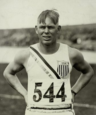


Kanopolis, decade by decade
2000
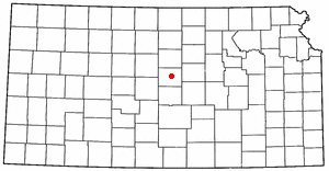
2 historic places in Kanopolis
2 places in Kanopolis are on the National Register of Historic Places, the country’s official list of buildings and places worth saving.
Where they are
When they were listed


Then & now
When neighbors add old photos, retakes from the same spot appear here side by side.
Stories next door
nearby towns’ historyFrom Wikimedia Commons (1) and the National Register (2). Images are copied here with their credits and licenses, shown on each photo’s page. Refreshed monthly.