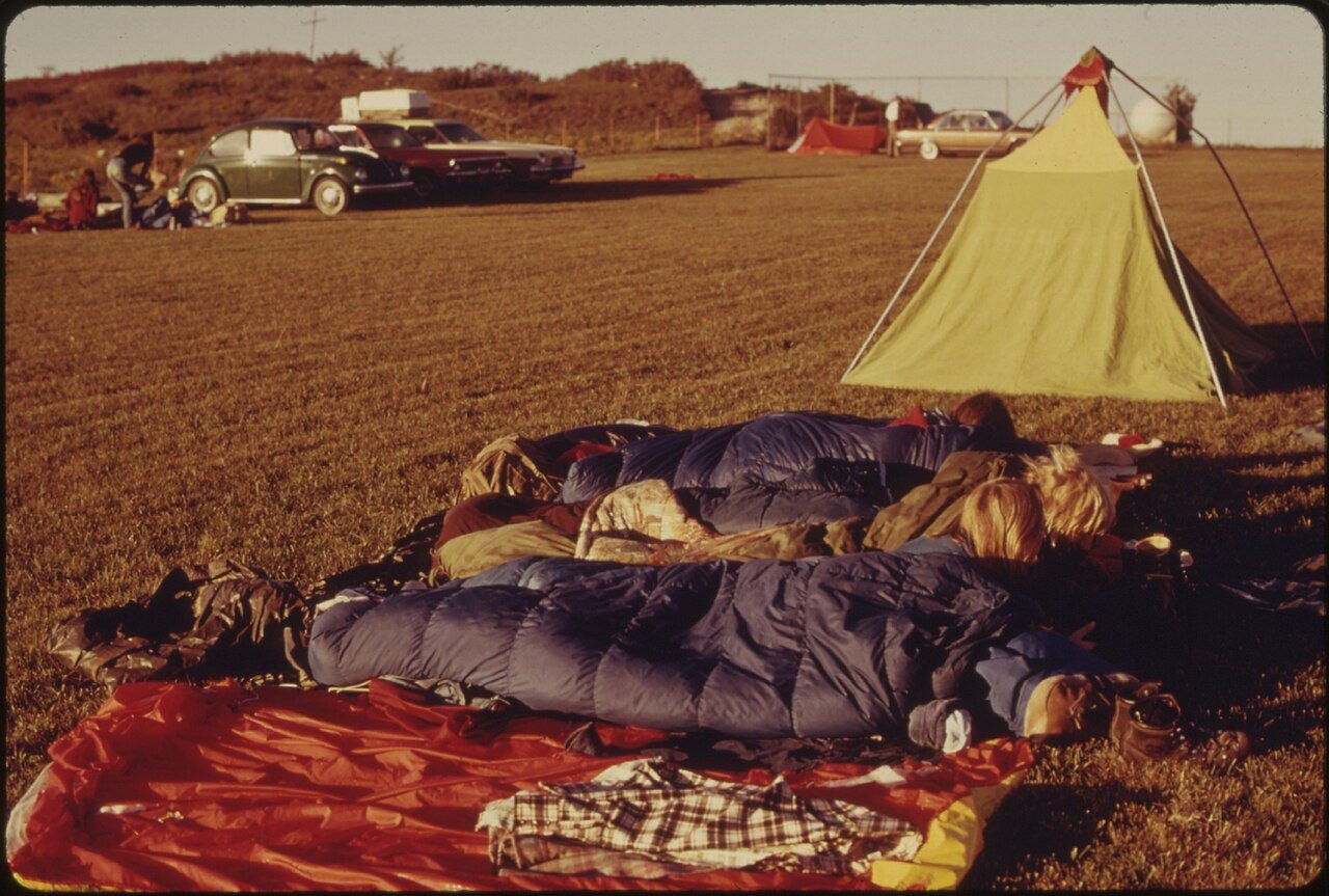
A history of Elmdale,
then and now
Postcards, papers and photographs of Elmdale from public archives, woven together by decade. Neighbors fill in the gaps.
The story
from WikipediaRead it all ↗In 1806, Zebulon Pike led the Pike Expedition westward from St Louis, Missouri, of which part of their journey followed the Cottonwood River through Chase County near the current city of Elmdale.
In 1854, the Kansas Territory was organized, then in 1861 Kansas became the 34th U.S. state. In 1859, Chase County was established within the Kansas Territory, which included the land for modern day Elmdale.
In 1871, the Atchison, Topeka and Santa Fe Railway built a main line east–west through Elmdale. In 1873, a post office was relocated from Middle Creek (an extinct town), to the rail community of Elmdale. Elmdale was incorporated in 1904.
In 1916, Camp Wood YMCA was built about 1.5 miles south of Elmdale.
Text from Wikipedia, licensed CC BY-SA 4.0.
Timeline
built from the dates on the items belowFinish Elmdale’s story
Most archives stop around 1920. The photos from after that are in family albums, not libraries.
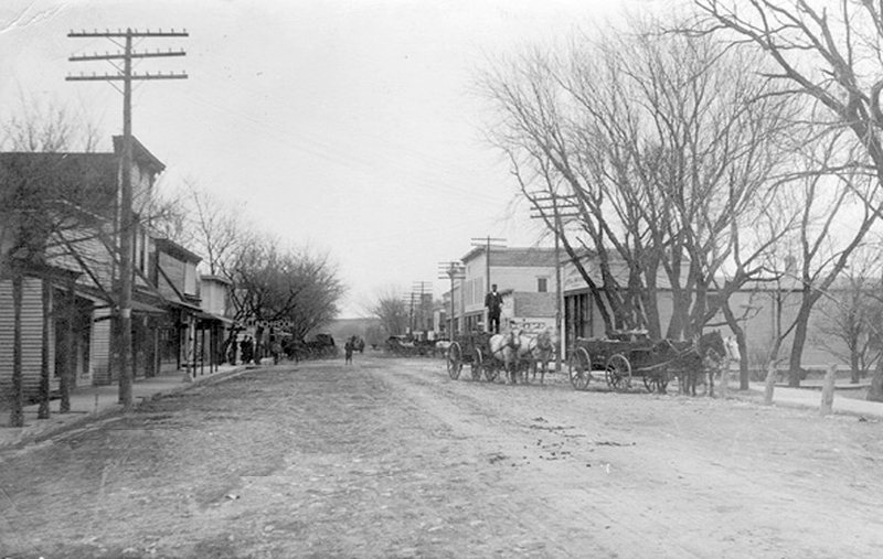
2 of 10 decades since 1900 have photos 🔁Retake an old viewElmdale, Kansas (1911), 1911: stand where they stood+15 📦Share a family photoSign in to add one+10Famous people from Elmdale
See all 1 →
Elmdale, decade by decade
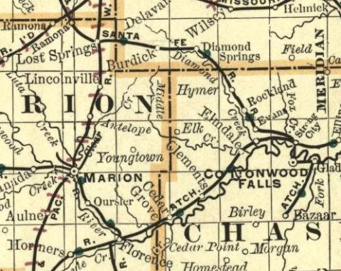
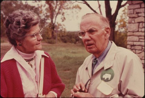
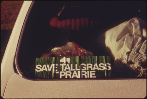
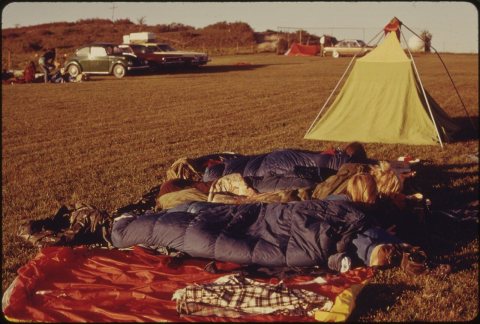
1960s
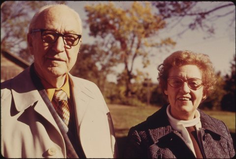
1990s
Nothing in Elmdale is on the National Register yet
That’s true of most small towns. It doesn’t mean Elmdale has no history, only that no one has written up a nomination. The closest listed place is McNee Barns in Cottonwood, 2.9 miles away.
Elmdale and the nearest listed places


How a place gets listed
Then & now
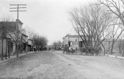
No then-and-now pairs yet. Take a photo from the same spot as Elmdale, Kansas (1911) (1911) and it appears here side by side.
🔁 Retake this view · +15Stories next door
nearby towns’ historyFrom Wikimedia Commons (6). Images are copied here with their credits and licenses, shown on each photo’s page. Refreshed monthly.