The story
from WikipediaRead it all ↗The Ibach House and Stallbohm Barn-Kaske House are listed in the National Register of Historic Places.
The earliest known inhabitants of the area were the Potawatomi. Although a village did not exist in what was to become Munster's town boundaries, a trail along the dry sandy ridge now known as Ridge Road was well traveled by the indigenous inhabitants. Today, Munster's downtown area, the Town Hall, Police and Fire Department headquarters, the Center for the Visual and Performing Arts, the site of a former school, and the Munster Post Office are all situated on Ridge Road.
Text from Wikipedia, licensed CC BY-SA 4.0.
Start Munster’s collection
The first neighbors to add old photos shape how Munster’s history is told.
0 of 10 decades since 1900 have photos 📦Share a family photoSign in to add one+10Munster, decade by decade
2000
Then & now
When neighbors add old photos, retakes from the same spot appear here side by side.
Stories next door
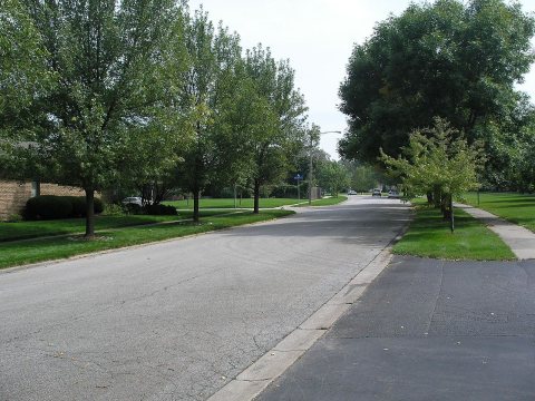
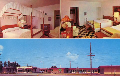
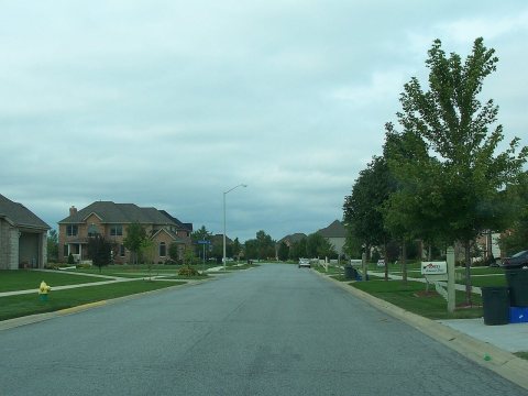
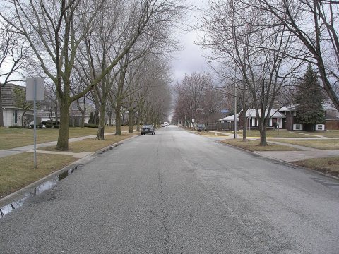
nearby towns’ historyFrom Wikimedia Commons (6). Images are copied here with their credits and licenses, shown on each photo’s page. Refreshed monthly.