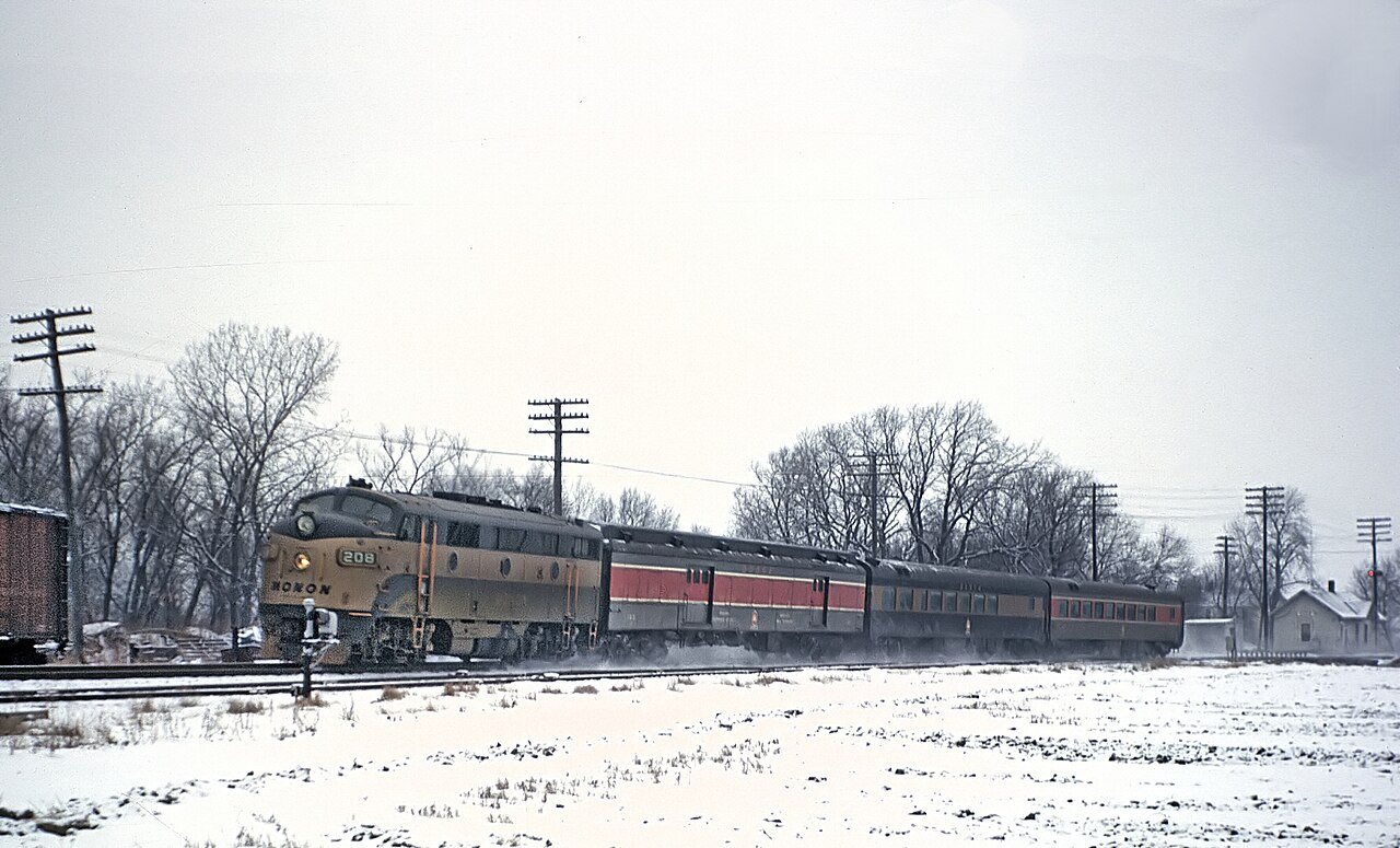
Dyer’s history is
mostly unwritten
The public archives hold only 2 old photos of Dyer. The rest are in attics, shoeboxes and the historical society. Help start the collection.
The story
from WikipediaRead it all ↗In 1830, the first permanent white settlers came to Northwest Indiana. The earliest historical records date back to 1838. On June 1, 1855, the original plat of the town was established. Aaron Norton Hart, a settler from Philadelphia, Pennsylvania, played a key role in developing Dyer's infrastructure in the 1860s and 1870s. Hart supervised construction of roads and the implementation of a drainage ditch system, allowing agricultural and commercial use of the marshy land. Hart was killed in 1883 while working on a ditch near Plum Creek. Hart Street, one of Dyer's major north–south streets, bears his name. Hart's wife, Martha Dyer Hart, is the town's namesake.
Text from Wikipedia, licensed CC BY-SA 4.0.
Timeline
built from the dates on the items belowStart Dyer’s collection
The first neighbors to add old photos shape how Dyer’s history is told.
1 of 10 decades since 1900 have photos 🔁Retake an old viewThoroughbred, 1963: stand where they stood+15 📦Share a family photoSign in to add one+10Famous people from Dyer
See all 4 →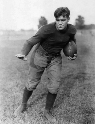
Dyer, decade by decade
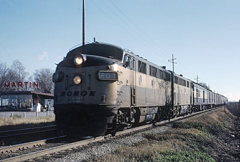
1990s
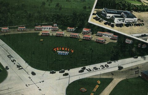 CommonsTeibel's Tourist Court, circa 19502007 · postcard
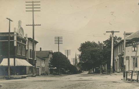 CommonsStreet Scene, circa 19102007 · postcard
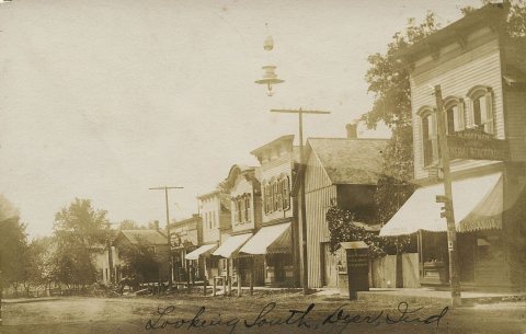 CommonsLooking South, circa 19102007 · postcard
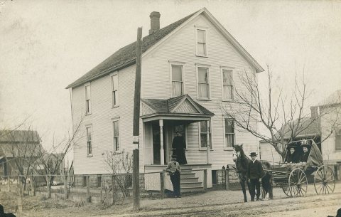 CommonsHome, 19092007 · postcard
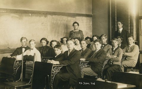 CommonsHigh School, circa 19092007 · postcard
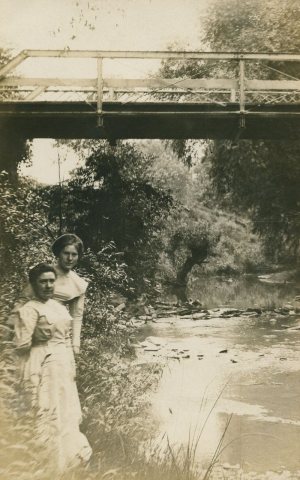 CommonsHart Street Bridge over Plum Creek, circa 19102007 · postcard
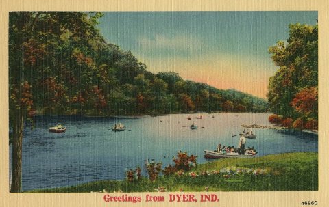 CommonsGreetings from Dyer, circa 19352007 · postcard
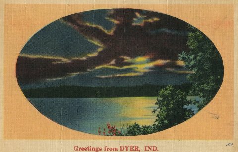 CommonsGreetings from Dyer, 19472007 · postcard
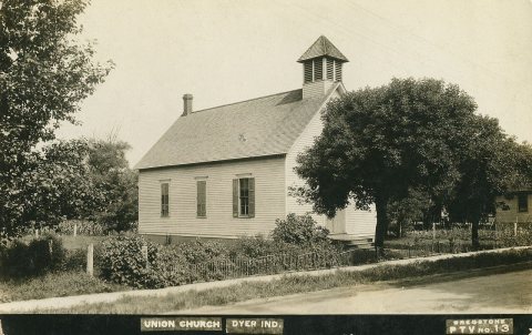 CommonsUnion Church, circa 19102006
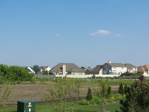 CommonsNeighborhood in2006
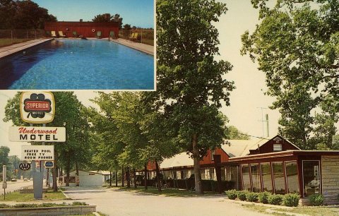 CommonsUnderwood Motel, circa 19652006 · postcard
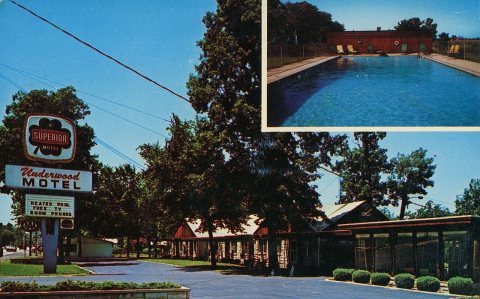 CommonsUnderwood Motel, circa 19652006 · postcard
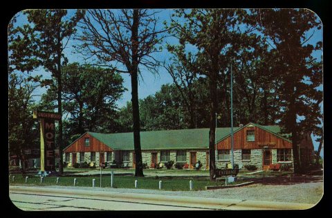 CommonsUnderwood Motel, circa 19552006 · postcard
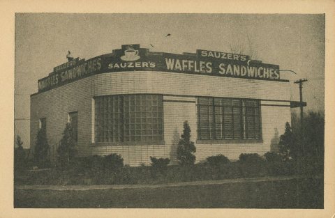 CommonsSauzer's Little Waffle Shop, circa 19402006 · postcard
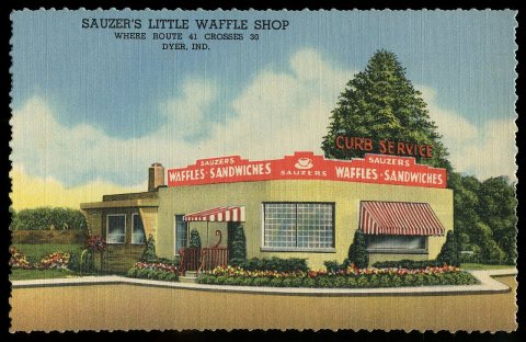 CommonsSauzer's Little Waffle Shop, 19482006 · postcard
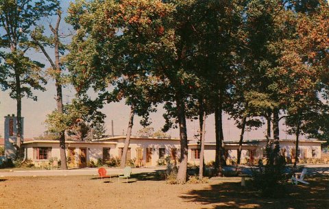 CommonsRinehart Motel, circa 19552006 · postcard
Then & now
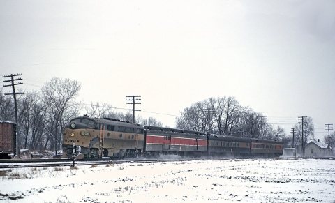
No then-and-now pairs yet. Take a photo from the same spot as Thoroughbred (1963) and it appears here side by side.
🔁 Retake this view · +15Stories next door
nearby towns’ historyFrom Wikimedia Commons (18). Images are copied here with their credits and licenses, shown on each photo’s page. Refreshed monthly.