The story
from WikipediaRead it all ↗The municipality was platted in 1849 under the name "Lanesville", but other names were tried because there was already another Lanesville in Indiana. The name "Jamestown", in honor of the town's founder James White, was used for a while, but in 1866 the Marion County Commissioners approved the name "Lawrence", which is also the name of the township in which it is located. The name was in honor of Captain James Lawrence, naval hero of the War of 1812. In 1929 the citizens of Lawrence voted to become an independent town, where they first established the town marshal, as well as other parts of government.
Text from Wikipedia, licensed CC BY-SA 4.0.
Start Lawrence’s collection
The first neighbors to add old photos shape how Lawrence’s history is told.
0 of 10 decades since 1900 have photos 📦Share a family photoSign in to add one+10Lawrence, decade by decade
2000
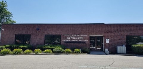
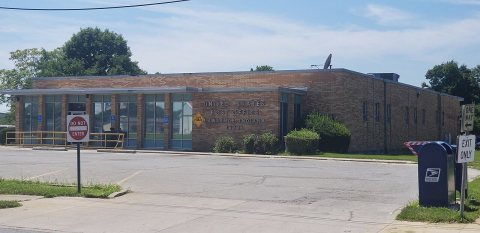
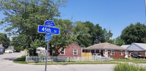


Then & now
When neighbors add old photos, retakes from the same spot appear here side by side.
Stories next door
nearby towns’ historyFrom Wikimedia Commons (6). Images are copied here with their credits and licenses, shown on each photo’s page. Refreshed monthly.