The story
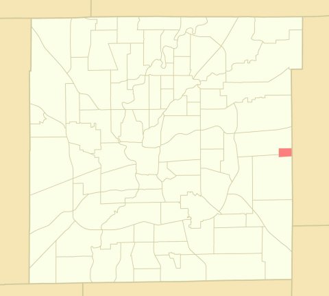
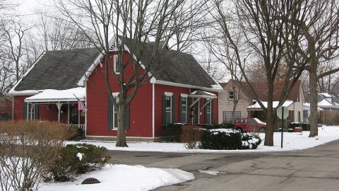
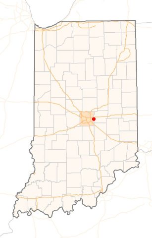
from WikipediaRead it all ↗Cumberland is named after the city in Maryland and was platted on July 7, 1831 when the Cumberland Road (also known as the National Road) was extended to that point. Cumberland contained a post office from 1834 until it was discontinued in 1958. Cumberland was officially incorporated as a town in 1951. Since 1970, the Marion County portion of Cumberland has been subject to Unigov as an included town, but will become an excluded town on January 1, 2027. The Cumberland Historic District is located in the Marion County portion of the town.
Text from Wikipedia, licensed CC BY-SA 4.0.
Start Cumberland’s collection
The first neighbors to add old photos shape how Cumberland’s history is told.
0 of 10 decades since 1900 have photos 📦Share a family photoSign in to add one+10Cumberland, decade by decade
2000
Then & now
When neighbors add old photos, retakes from the same spot appear here side by side.
Stories next door
nearby towns’ historyFrom Wikimedia Commons (3). Images are copied here with their credits and licenses, shown on each photo’s page. Refreshed monthly.