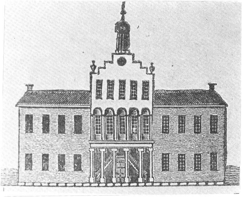
A history of Hanover,
then and now
Postcards, papers and photographs of Hanover from public archives, woven together by decade. Neighbors fill in the gaps.
The story
from WikipediaRead it all ↗During the late eighteenth century, the area today known as the state of Indiana was a part of the Northwest Territory in the new United States. This large area west of the Appalachians and north of the Ohio River had been ceded by Great Britain after the Revolutionary War. It consisted of the area later organized as the states of Ohio, Indiana, Michigan, Illinois, Wisconsin, and parts of Minnesota. At that time, there were few European settlements on the northern bank of the Ohio River, although French colonists had settled in the west Illinois Country along the Mississippi River. Kentucky, which developed on the southern banks of the Ohio, was originally considered part of Virginia. In 1792 it was granted statehood after becoming more densely settled by European Americans. Prior to the early nineteenth-century European-American settlement of the Hanover area, its predominant inhabita…
Text from Wikipedia, licensed CC BY-SA 4.0.
Timeline
built from the dates on the items belowFinish Hanover’s story
Most archives stop around 1920. The photos from after that are in family albums, not libraries.
1 of 10 decades since 1900 have photos 🔁Retake an old viewA history of Carmel Congregation …, 1882: stand where they stood+15 📦Share a family photoSign in to add one+10Famous people from Hanover
See all 4 →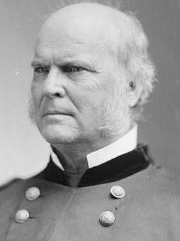
Hanover, decade by decade
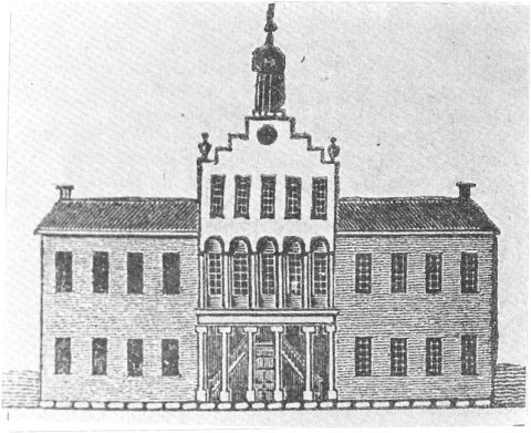
1960s

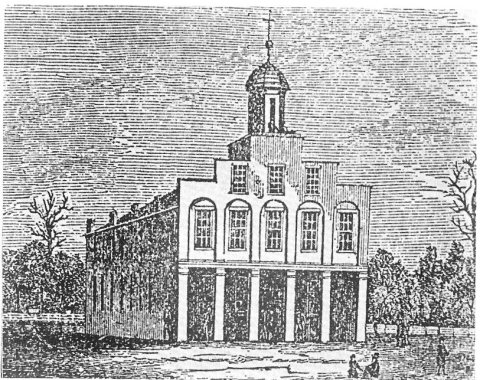
1990s
3 historic places in Hanover
Hanover has 3 listings on the National Register, and they protect 22 historic buildings, because Hanover College Historic District alone counts 20.
Where they are
Architectural styles
When they were listed
 Listed 1980Crowe-Garritt House
 Listed 2000St. Stephen's African Methodist Episcopal ChurchListed 2024Hanover College Historic District
Then & now
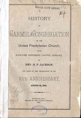
No then-and-now pairs yet. Take a photo from the same spot as A history of Carmel Congregation of the United Presbyterian Church (1882) and it appears here side by side.
🔁 Retake this view · +15Stories next door
nearby towns’ historyFrom Wikimedia Commons (5) and the National Register (1). Images are copied here with their credits and licenses, shown on each photo’s page. Refreshed monthly.