The story
from WikipediaRead it all ↗Wayne was originally named Wayne Station and was named after Anthony Wayne. Wayne was incorporated in 1958. Previously, the community was administered as a private association called the "Wayne Community Association" with voluntary contributions funding village services including police.
Since World War II, Wayne has grown steadily, adding subdivisions near Illinois Route 59, off Munger Road, near Smith Road, near Dunham Castle at Army Trail Road, along Powis Road, and filling in throughout the Village. For work, residents are primarily commuters to Chicago via railroad stations in Geneva, Bartlett, or West Chicago or drive to Chicago or other suburbs particularly in Kane, DuPage, Lake, Cook, or McHenry County.
Text from Wikipedia, licensed CC BY-SA 4.0.
Start Wayne’s collection
The first neighbors to add old photos shape how Wayne’s history is told.
0 of 10 decades since 1900 have photos 📦Share a family photoSign in to add one+10Famous people from Wayne
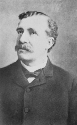
See all 3 →

Wayne, decade by decade
2000
Then & now
When neighbors add old photos, retakes from the same spot appear here side by side.
Stories next door
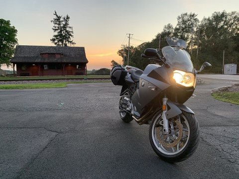
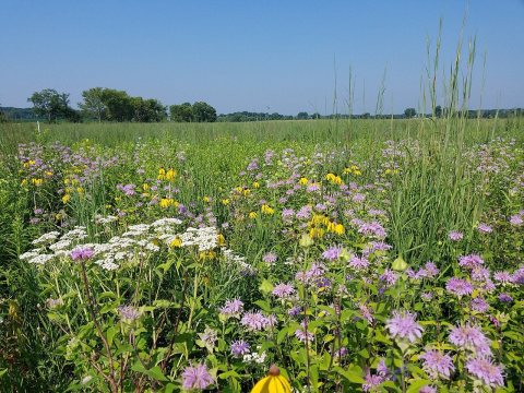
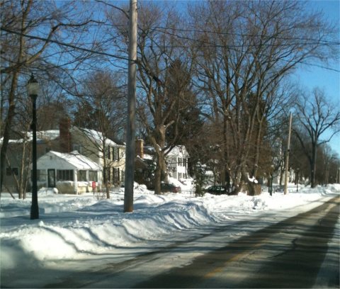
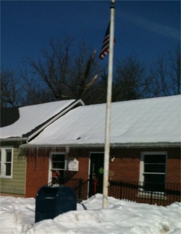
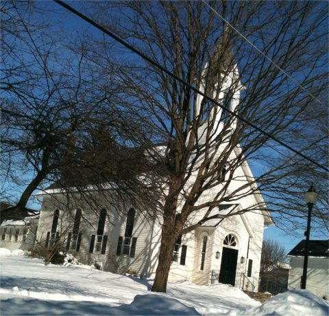
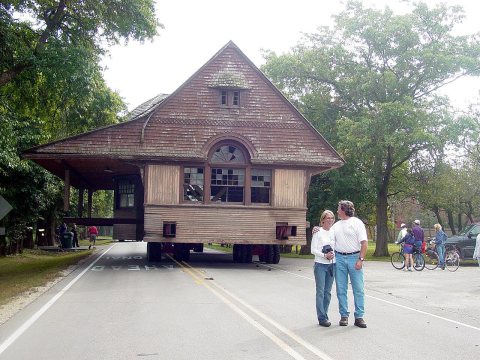
nearby towns’ historyFrom Wikimedia Commons (6). Images are copied here with their credits and licenses, shown on each photo’s page. Refreshed monthly.