St. Charles’s history is
mostly unwritten
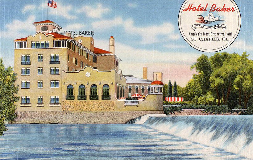
The public archives hold only 3 old photos of St. Charles. The rest are in attics, shoeboxes and the historical society. Help start the collection.
The story
from WikipediaRead it all ↗St. Charles was the location of the Native American community for the chief of the Pottawatomie that inhabited the area. A city park overlooking the river was dedicated to the Native Americans. After the Black Hawk War in 1832, the entire area of the Fox Valley was opened to American settlement. Evan Shelby and William Franklin staked the first claim in what is now St. Charles in 1833. They came back in 1834 with their families from Indiana and were joined by over a dozen other families later that year. The township was initially known as Charleston, but this name was already taken by the downstate city of Charleston, Illinois, so the name of St. Charles (suggested by S. S. Jones, a lawyer) was adopted in 1839. St. Charles became incorporated as a city February 9, 1839, and reincorporated October 17, 1874 (under the 1870 Illinois Constitution).
Text from Wikipedia, licensed CC BY-SA 4.0.
Timeline
built from the dates on the items belowStart St. Charles’s collection
The first neighbors to add old photos shape how St. Charles’s history is told.
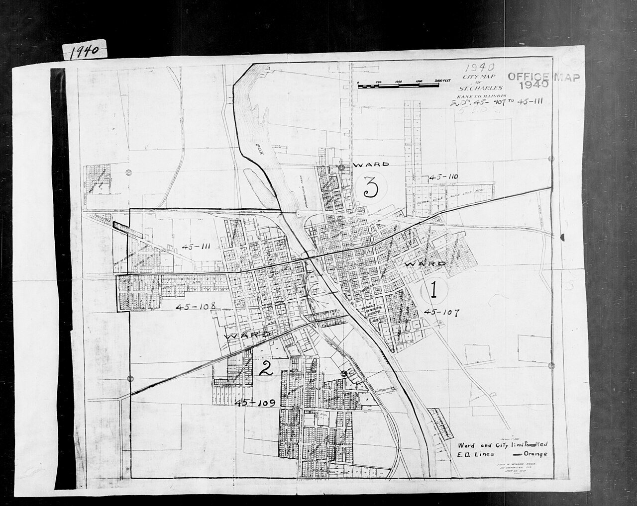
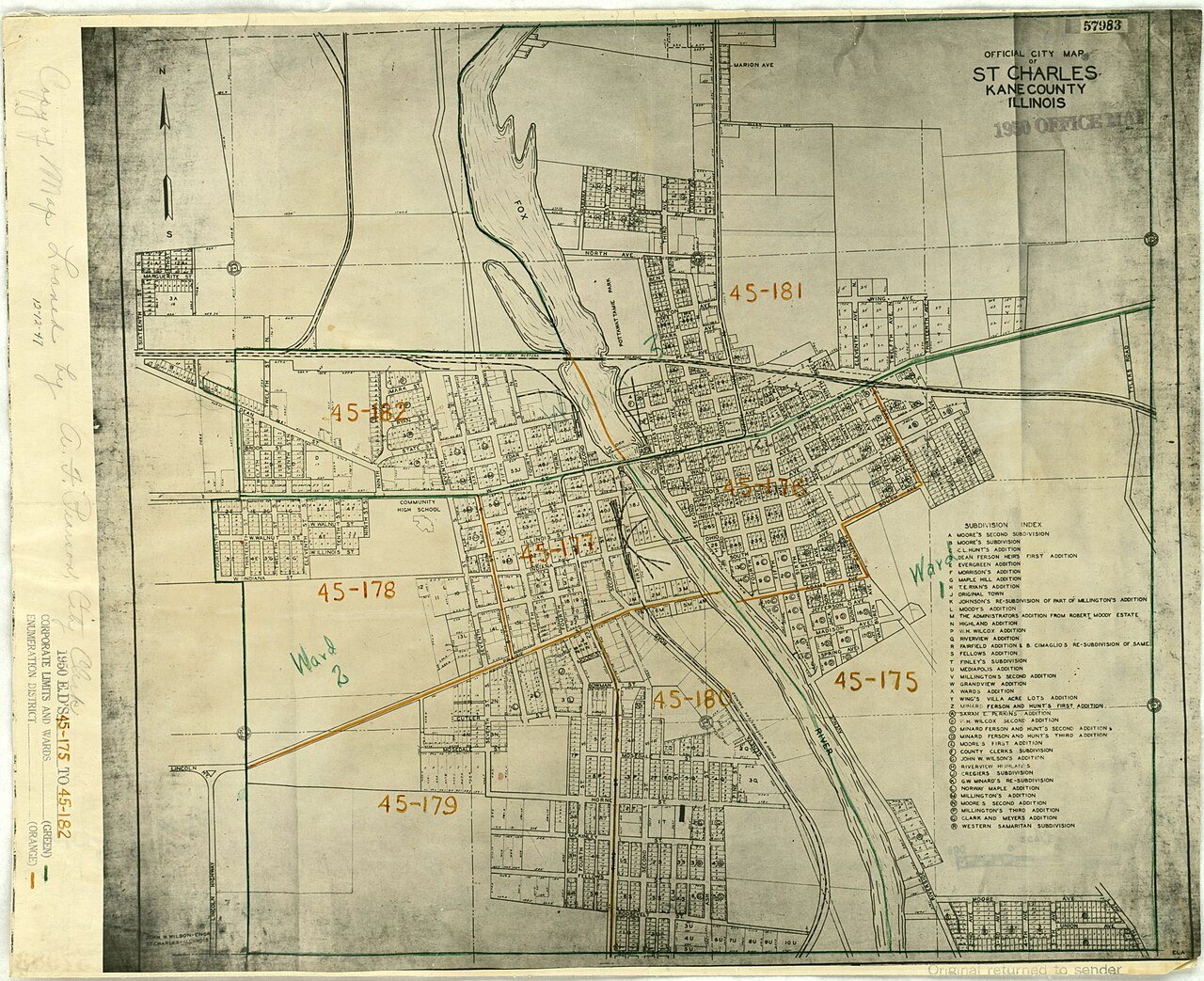
1 of 10 decades since 1900 have photos 🔁Retake an old view1940 Census Enumeration District …, 1880: stand where they stood+15 📦Share a family photoSign in to add one+10Famous people from St. Charles
See all 31 →

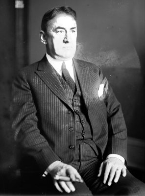
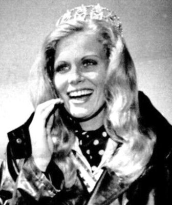
St. Charles, decade by decade
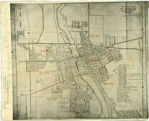
1930s
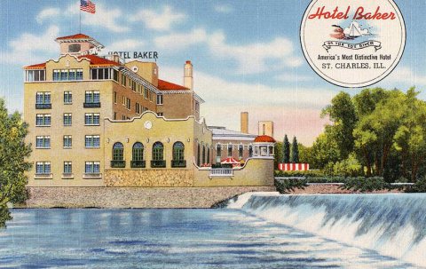
1990s
Then & now
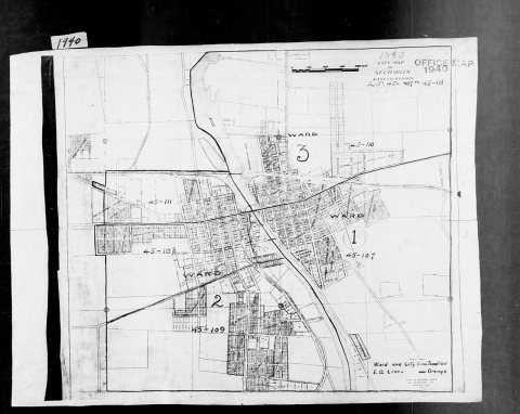
No then-and-now pairs yet. Take a photo from the same spot as 1940 Census Enumeration District Maps - Illinois - Kane County - St. Charles - ED 45-107, ED 45-108, ED 45-109, ED 45-1… (1880) and it appears here side by side.
🔁 Retake this view · +15Historic places
National Register · via Wikidata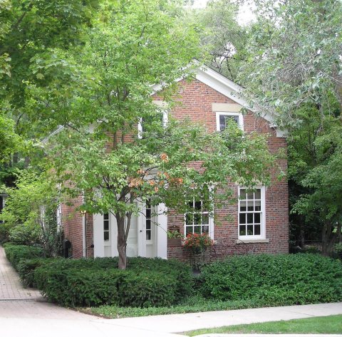
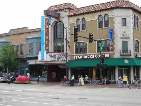
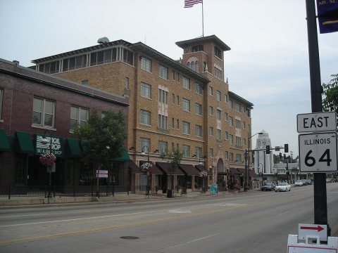
From Wikimedia Commons (3) and the National Register (3). Images are copied here with their credits and licenses, shown on each photo’s page. Refreshed monthly.