The story
from WikipediaRead it all ↗In its earliest times, the Village of Bartlett, Illinois, served as a hunting and camping ground for the Cherokee, Miami, Potawatomi, and Ottawa Indians. Throughout the past, the Northwest Territory, Virginia, Indiana, Spain, France and England had staked their claim for Bartlett. However, the territory was owned by a man named Luther Bartlett. Luther and Sophia Bartlett had decided that a station stop would be beneficial for their town and townspeople. In 1873, Bartlett gave a monetary contribution and half of his 40-acre woodlot towards the construction for a train depot, which is why the town is named after Luther Bartlett. Bartlett later became one of the premiere pig towns, becoming their main export for years to come. A petition for incorporation was filed in Springfield on February 11, 1891. The village was incorporated on June 21, 1892. Bartlett experienced the majority of its p…
Text from Wikipedia, licensed CC BY-SA 4.0.
Start Bartlett’s collection
The first neighbors to add old photos shape how Bartlett’s history is told.
0 of 10 decades since 1900 have photos 📦Share a family photoSign in to add one+10Famous people from Bartlett
See all 6 →

Bartlett, decade by decade
2000
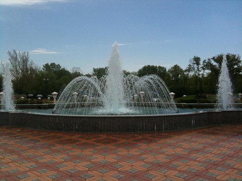 CommonsFountain from the center2010
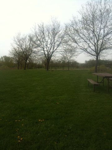 CommonsForest preserve area2010
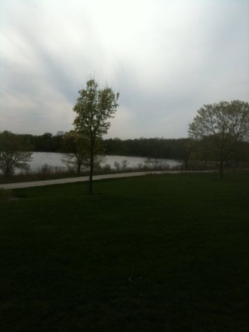 CommonsForest preserve2010
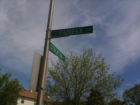 CommonsFairfax ^ Stockton2010
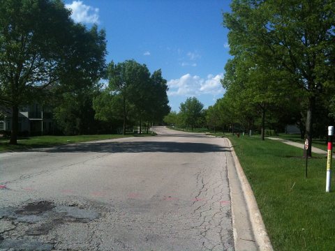 CommonsFairfax Lane facing north2010
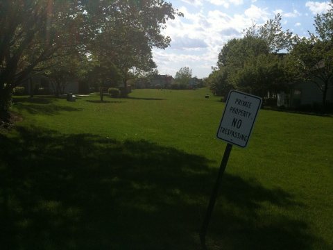 CommonsFacing the long strip of grassy lawn2010
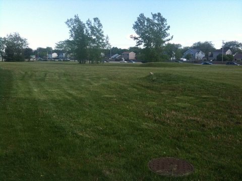 CommonsFacing Army Trail Road2010
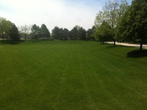 CommonsEmpty artificial pond facing south2010
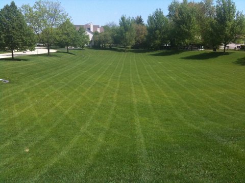 CommonsEmpty artificial pond facing north2010
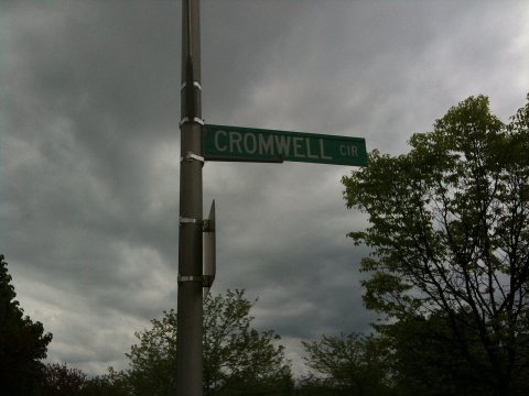 CommonsCromwell circle street sign2010
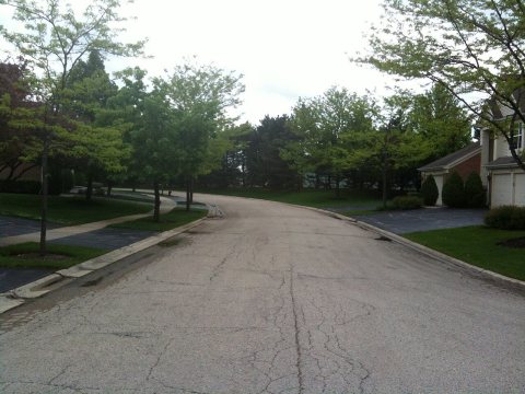 CommonsCromwell circle facing east2010
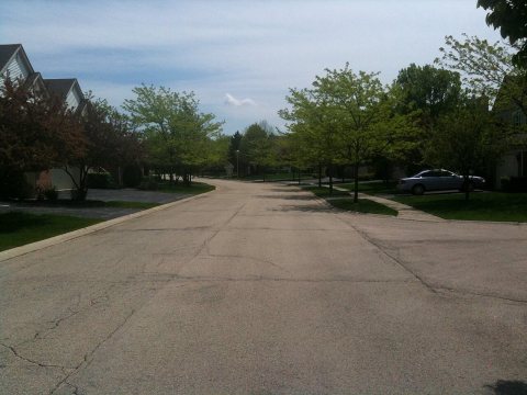 CommonsCromwell Circle 32010
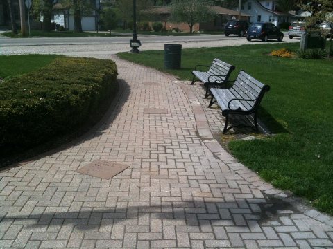 CommonsBenches on the right2010
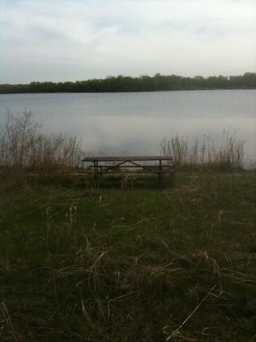 CommonsBench near water2010
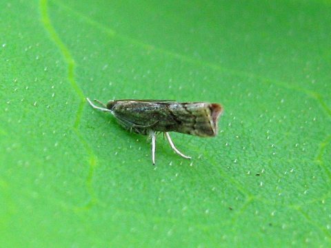 CommonsSmall Moth - Flickr - GregTheBusker2009
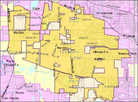 MapBartlett IL 2009 reference map2009
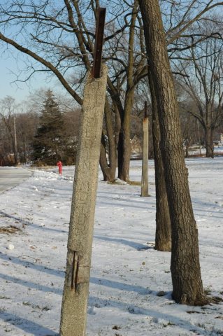 CommonsGrant Highway Markers2007
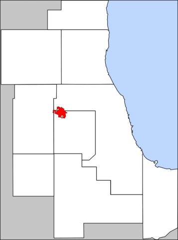 CommonsUS-IL-Chicagoland-Bartlett2005
Then & now
When neighbors add old photos, retakes from the same spot appear here side by side.
Stories next door
nearby towns’ historyFrom Wikimedia Commons (18). Images are copied here with their credits and licenses, shown on each photo’s page. Refreshed monthly.