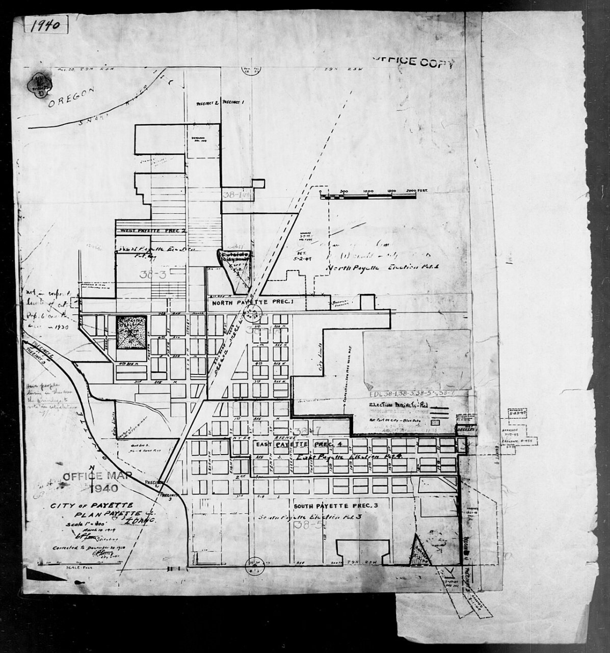
Payette’s history is
mostly unwritten
The public archives hold only 2 old photos of Payette. The rest are in attics, shoeboxes and the historical society. Help start the collection.
The story
from WikipediaRead it all ↗The settlement was originally named "Boomerang," a construction camp for the Oregon Short Line from 1882 to 1884 at the mouth of the Payette River. Logs were floated down the river to the sawmills at the camp to produce railroad ties. After completion of the railroad, the settlement moved upstream to its present site and incorporated in 1891 as "Payette," to honor François Payette, a French-Canadian fur trapper and one of the first white men to explore the area. He had arrived in present-day Idaho from Astoria and was later the head of the Fort Boise trading post for the British Hudson's Bay Company from 1835 to 1844. A large merry man, Payette was highly regarded for his helpful assistance to the many travelers who came through the fort. Following his retirement in 1844, he returned to Montreal, after which the rest of his life is a mystery.
Text from Wikipedia, licensed CC BY-SA 4.0.
Timeline
built from the dates on the items belowStart Payette’s collection
The first neighbors to add old photos shape how Payette’s history is told.
1 of 10 decades since 1900 have photos 🔁Retake an old view1940 Census Enumeration District …, 1880: stand where they stood+15 📦Share a family photoSign in to add one+10Famous people from Payette
See all 3 →

Payette, decade by decade
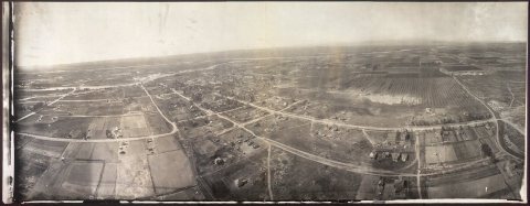
1990s
13 historic places in Payette
13 places in Payette are on the National Register of Historic Places, the country’s official list of buildings and places worth saving.
Where they are
When they were listed
Then & now
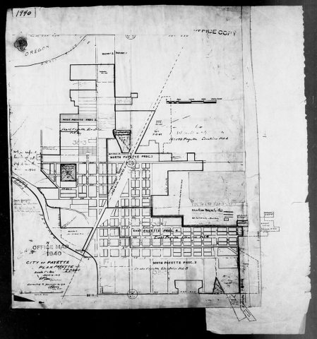
No then-and-now pairs yet. Take a photo from the same spot as 1940 Census Enumeration District Maps - Idaho - Payette County - Payette - ED 38-1, ED 38-3, ED 38-5, ED 38-7 (1880) and it appears here side by side.
🔁 Retake this view · +15Stories next door
nearby towns’ historyFrom Wikimedia Commons (1), the Library of Congress (1) and the National Register (4). Images are copied here with their credits and licenses, shown on each photo’s page. Refreshed monthly.