The story
from WikipediaRead it all ↗Middleton was named for its location midway between Old Fort Boise and Keeney’s Ferry, serving as a resting point for travelers en route to the ferry. In its early years along the Oregon Trail, it had a stage station, a post office established in 1866, and a water-powered grist mill built in 1871. The Ward Massacre occurred near the area in 1854.
Text from Wikipedia, licensed CC BY-SA 4.0.
Be one of the first
Start Middleton’s collection
The first neighbors to add old photos shape how Middleton’s history is told.
0 of 10 decades since 1900 have photos 📦Share a family photoSign in to add one+10Famous people from Middleton
See all 1 →
By decade
Middleton, decade by decade
Before
2000
2000
No old photos in the archives yetWeddings on Main Street, storms, parades, school pictures, the old store. If it’s in your family album, it belongs here.
📷 Add from your album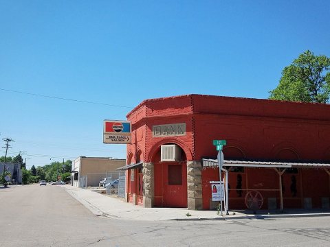
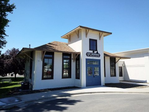
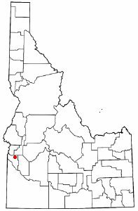
Then & now
When neighbors add old photos, retakes from the same spot appear here side by side.
Historic places
National Register · via Wikidata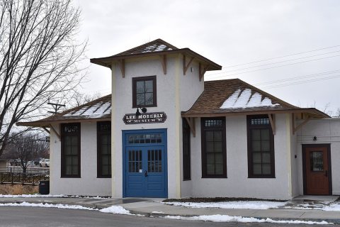
From Wikimedia Commons (3) and the National Register (1). Images are copied here with their credits and licenses, shown on each photo’s page. Refreshed monthly.