The story
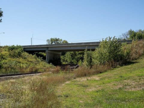
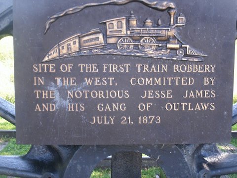
from WikipediaRead it all ↗The Rock Island Railroad was built through the area in 1868, which led to the area being known as Summit Cut. This was in reference to the ridge that forms the watershed divide between the Missouri and Mississippi rivers. The town officially became known as Adair on August 20, 1872, when it was incorporated with the county. The town is named after General John Adair, a general in the War of 1812 who later became the eighth governor of Kentucky. Adair was the scene of the first successful train robbery in the American West when on July 21, 1873, the James-Younger Gang (led by Jesse James) took US $3,000 from the Rock Island Express after derailing it southwest of the town. The derailment killed the engineer.
Text from Wikipedia, licensed CC BY-SA 4.0.
Timeline
built from the dates on the items belowStart Adair’s collection
The first neighbors to add old photos shape how Adair’s history is told.
1 of 10 decades since 1900 have photos 🔁Retake an old viewThe Adair News, Auduban Street, 1988: stand where they stood+15 📦Share a family photoSign in to add one+10Famous people from Adair
See all 5 →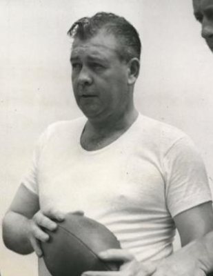
Adair, decade by decade
1990s
1 historic place in Adair
1 place in Adair is on the National Register of Historic Places, the country’s official list of buildings and places worth saving.
Where they are
When they were listed

Then & now
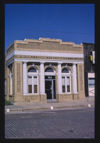
No then-and-now pairs yet. Take a photo from the same spot as The Adair News, Auduban Street (1988) and it appears here side by side.
🔁 Retake this view · +15From Wikimedia Commons (6). Images are copied here with their credits and licenses, shown on each photo’s page. Refreshed monthly.