West Point

What’s happening
Weather
Forecast →Upcoming events
Put the next local happening — a market, a meeting, a concert — on the map.
Local news
Headlines via Google News · Articles belong to their publishers.
The West Point album
Outdoors in West Point
Parks & trails →Trails & parks © OpenStreetMap contributors · Conserved land: USGS PAD-US
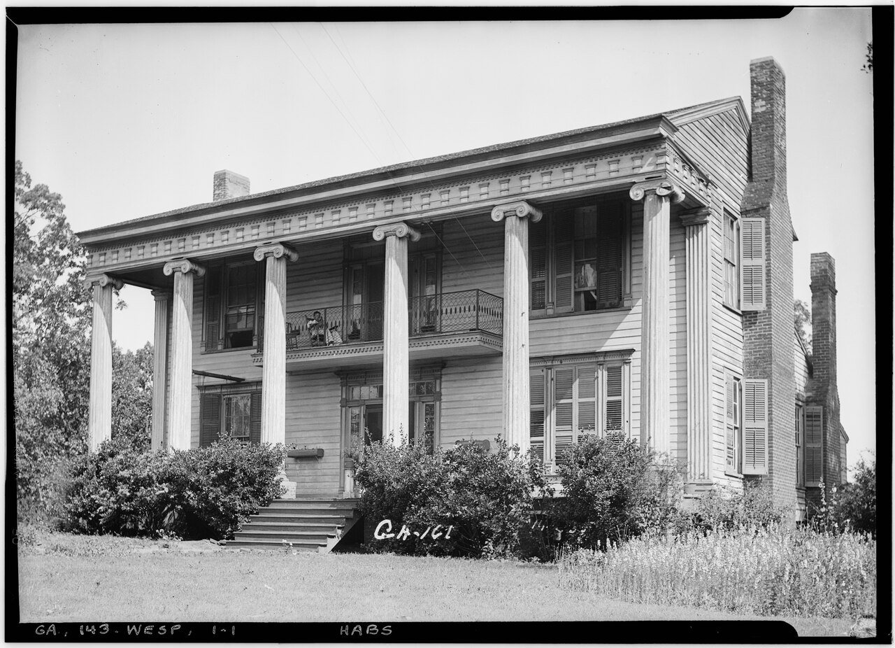 1936
1936
Historic American Buildings Survey L. D. Andrew - Photographer May 24, 1936. FRONT VIEW - Booker House, Chattahoochee R…, 1936
Photo · Wikimedia Commons
Landmark of the day
All 10 historic places →
West Point Public School
West Point Public School was added to the National Register of Historic Places on Apr 1, 1999. It is significant for its architecture and education at the local level.
About West Point
City in Georgia, United StatesWest Point is a city in Troup and Harris counties in the U.S. state of Georgia. It is located approximately halfway between Montgomery, Alabama and Atlanta along Interstate 85. As of 2020, its population was 3,719. Most of the city is in Troup County, which is part of the LaGrange micropolitan statistical area, and hence part of the Atlanta-Athens-Clarke County-Sandy Springs, GA combined statistical area. A sliver in the south is in Harris County, which is part of the Columbus metropolitan statistical area. Despite being in both metropolitan areas however, it is a part of the Valley-Lanett Urban Area, which had a 2020 population of 20,466
From Wikipedia, licensed CC BY-SA 4.0 · facts via Wikidata (CC0)
How West Point ranks
All →Town numbers
Housing in West Point
The typical West Point home is worth about $215,000, up 4.4% in a year, 35% below the Georgia typical home.
A seller's market
Work & commute in West Point
Full picture →Most working residents leave West Point for work: only 14% work in town. The top destinations are LaGrange (22%), Columbus (7%) and Atlanta (3%). Half commute less than 20 miles.
Health in West Point
Health Grade C−
Healthier than 16% of U.S. towns on seven CDC estimates.
Compared with Georgia
of 32 measures CDC estimates. The other 15 are too close to call.
What stands out
Care nearby
Natural hazards in West Point
Expected storm and flood damage is higher than in 30% of U.S. communities.
Climate in West Point
Full climate →West Point has mild winters and warm summers, with plenty of rain. A typical July afternoon reaches 91°, a January night drops to 33°, and snow is almost unheard of.
Schools in West Point
All West Point schools →School Grade C+
The public schools West Point’s kids attend, from kindergarten through graduation, trail 62% of Georgia’s districts on state tests and graduation. Among towns with similar incomes, they sit near the middle.
School data from the U.S. Department of Education (NCES, EDFacts). The School Grade is our own summary of state test results and graduation rates, graded within GA. Ratings are from neighbors.
West Point is a college town
Colleges →of West Point’s residents are enrolled in college. Point University has about 1,361 students on campus.
Libraries near West Point
See all →Famous people from West Point
See all 7 →

Where West Point is
Explore map →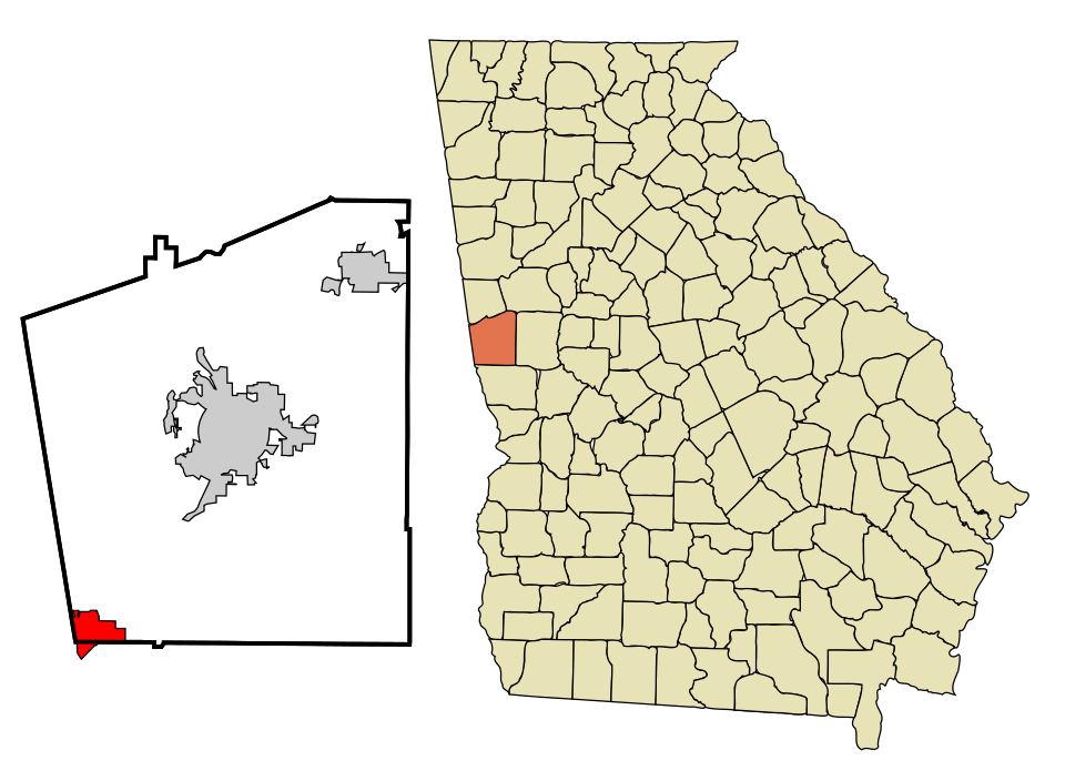

Location map