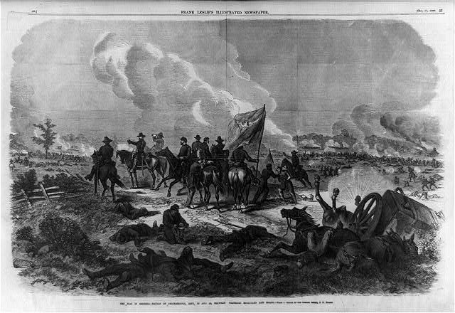
A history of Chickamauga,
then and now
Postcards, papers and photographs of Chickamauga from public archives, woven together by decade. Neighbors fill in the gaps.
The story
from WikipediaRead it all ↗Before the 1800s, the Chickamauga Cherokee settled around Chickamauga Creek, where they farmed and hunted the lands. They stayed there until their forced exodus during the Trail of Tears (1838). In the early to mid-19th century, the present town of Chickamauga was a large plantation in the rolling hills of northern Georgia. When the Cherokee Nation was divided into districts and courts in 1820, Crawfish Springs was made the capital of the new Chickamauga District. After the Cherokee removal, the first court in Walker County was held there in the former Cherokee courthouse. The local post office was Crawfish Springs.
Text from Wikipedia, licensed CC BY-SA 4.0.
Finish Chickamauga’s story
Most archives stop around 1920. The photos from after that are in family albums, not libraries.
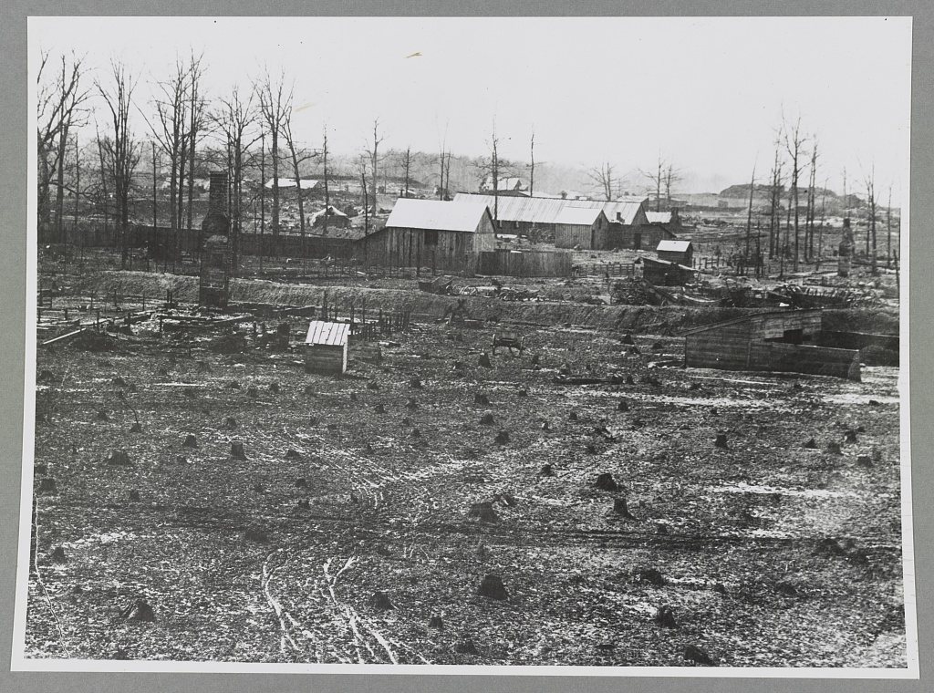
0 of 10 decades since 1900 have photos 🔁Retake an old viewChicamauga (i.e. Chickamauga) bat…, 1861: stand where they stood+15 📦Share a family photoSign in to add one+10Famous people from Chickamauga
See all 2 →
Chickamauga, decade by decade
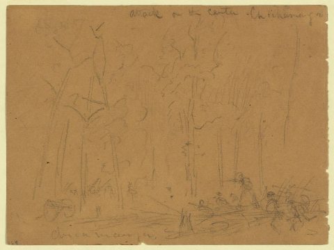
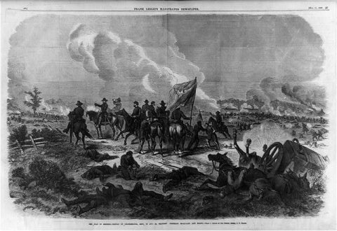
5 historic places in Chickamauga
Chickamauga has 5 listings on the National Register, and they protect 123 historic buildings, because Chickamauga Historic District alone counts 114.
Where they are
When they were listed
 Listed 2007Chickamauga Historic DistrictListed 1976Gordon-Lee HouseListed 1980Lee and Gordon MillListed 2006Chickamauga Lodge No. 221, Free and Accepted Masons, Prince Hall AffiliateListed 2009Chickamauga Coal and Iron Company Coke Ovens
Then & now
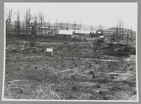
No then-and-now pairs yet. Take a photo from the same spot as Chicamauga (i.e. Chickamauga) battlefield (1861) and it appears here side by side.
🔁 Retake this view · +15Stories next door
nearby towns’ historyFrom the Library of Congress (6). Images are copied here with their credits and licenses, shown on each photo’s page. Refreshed monthly.