A history of Cartersville,
since 1850
Postcards, papers and photographs of Cartersville from public archives, woven together by decade. Neighbors fill in the gaps.
The story
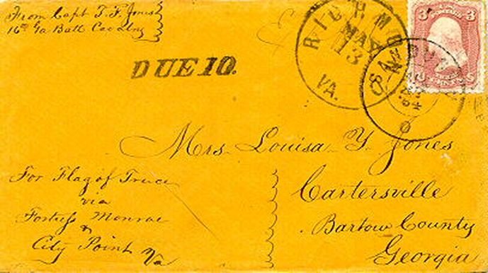
from WikipediaRead it all ↗Cartersville, originally known as Birmingham, was founded by English-Americans in 1832. The town was incorporated as Cartersville in 1854. The present name is for Col. Farish Carter of Milledgeville, the owner of a large plantation. Cartersville was the long-time home of Amos Akerman, U.S. attorney general under President Ulysses S. Grant; in that office Akerman spearheaded the federal prosecution of members of the Ku Klux Klan and was one of the most important public servants of the Reconstruction era.
Cartersville was designated the seat of Bartow County in 1867 following the destruction of Cassville by Sherman's March to the Sea in the American Civil War. Cartersville was incorporated as a city in 1872.
Text from Wikipedia, licensed CC BY-SA 4.0.
Timeline
built from the dates on the items belowFinish Cartersville’s story
Most archives stop around 1920. The photos from after that are in family albums, not libraries.
3 of 10 decades since 1900 have photos 🔁Retake an old viewCivil-War-pow1864, 1864: stand where they stood+15 📦Share a family photoSign in to add one+10Famous people from Cartersville
See all 26 →

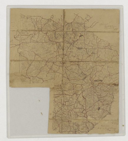
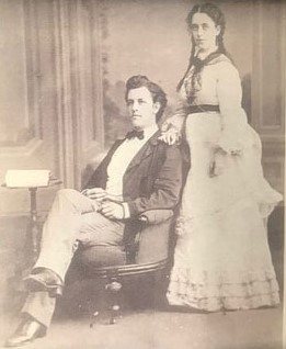
Cartersville, decade by decade
![Florida [Sarasota County (part) - Washington County] -- Georgia [Appling County - Effingham County (part)]](https://images.towntapestry.org/story/2978/709d19bf42be320a80a8-s.jpg)
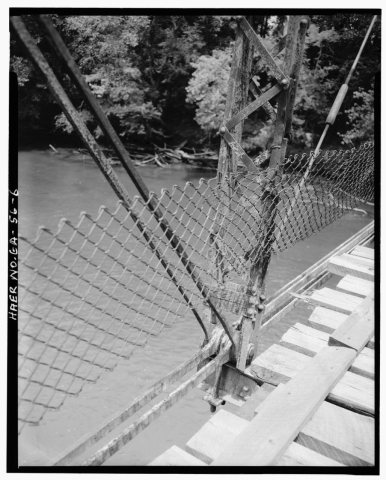
1990s
14 historic places in Cartersville
Cartersville has 14 listings on the National Register, and they protect 364 historic buildings, because ATCO-Goodyear Mill and Mill Village Historic District alone counts 264. One is a National Historic Landmark, the highest tier, which fewer than 3% of listings reach.
Where they are
When they were listed
 LandmarkListed 1966Etowah Mounds
 Listed 1973Roselawn
 Listed 1980Bartow County Courthouse
 Listed 1980Old Bartow County Courthouse
 Listed 1984Grand Theater
 Listed 1985Jones, Sam, Memorial United Methodist Church
 Listed 1991First Presbyterian Church
 Listed 1998Benham PlaceListed 1974Valley ViewListed 1979Rebecca Latimer Felton HouseListed 1994North Erwin Street Historic DistrictListed 1998North Wall Street Historic DistrictListed 2005ATCO-Goodyear Mill and Mill Village Historic DistrictListed 2014Cartersville Downtown Historic District
Then & now
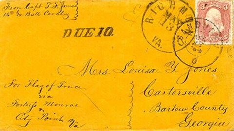
No then-and-now pairs yet. Take a photo from the same spot as Civil-War-pow1864 (1864) and it appears here side by side.
🔁 Retake this view · +15Stories next door
nearby towns’ historyFrom Wikimedia Commons (6). Images are copied here with their credits and licenses, shown on each photo’s page. Refreshed monthly.