A history of Vail,
since 1966
Postcards, papers and photographs of Vail from public archives, woven together by decade. Neighbors fill in the gaps.
The story
from WikipediaRead it all ↗Vail was incorporated in 1966, four years after the opening of Vail Ski Resort. The ski area was founded by Pete Seibert and local rancher Earl Eaton in 1962, at the base of Vail Pass. The pass was named after Charles Vail, the highway engineer who routed U.S. Highway 6 through the Eagle Valley in 1940, which eventually became Interstate 70. Seibert, a New England native, served in the U.S. Army's 10th Mountain Division during World War II, which trained at Camp Hale, 14 miles south of Vail between Red Cliff and Leadville. He was wounded in Italy at the Battle of Riva Ridge but went on to become a professional skier after he recovered.
Text from Wikipedia, licensed CC BY-SA 4.0.
Timeline
built from the dates on the items belowFinish Vail’s story
Most archives stop around 1920. The photos from after that are in family albums, not libraries.
1 of 10 decades since 1900 have photos 🔁Retake an old view"NO SKIING IN THE STREETS" SAYS T…, 1974: stand where they stood+15 📦Share a family photoSign in to add one+10Famous people from Vail
See all 16 →


Vail, decade by decade
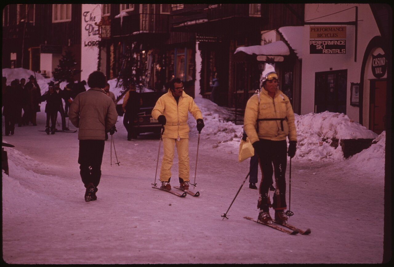
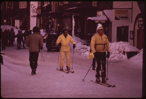 Commons"NO SKIING IN THE STREETS" SAYS THE REGULATION1974
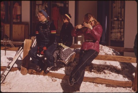 CommonsBETWEEN SKI RUNS1974
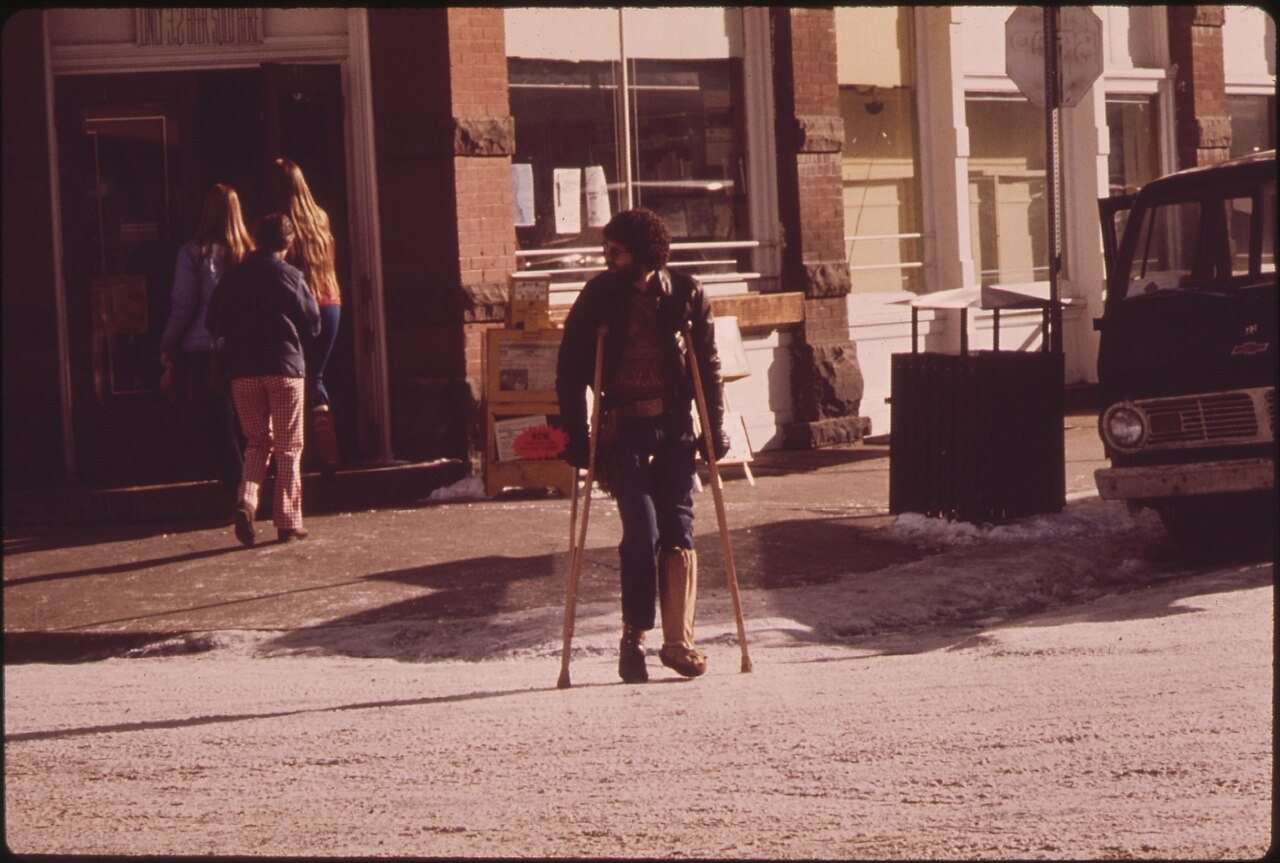
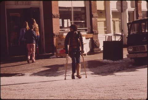 CommonsCASTS AND CRUTCHES ARE PART OF THE SKIING SCENE1974
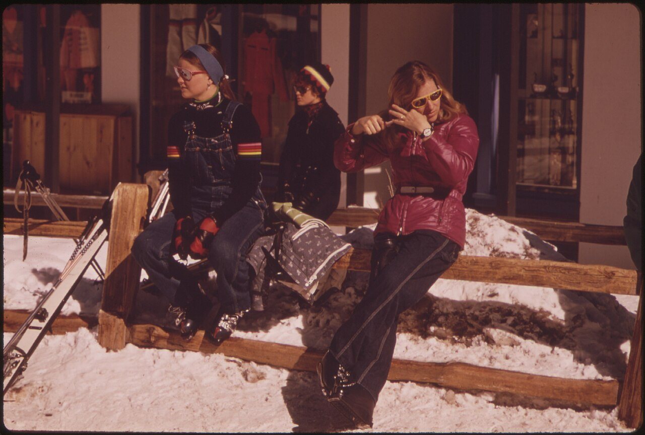
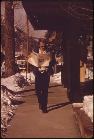 CommonsCATCHING UP ON THE NEWS1974
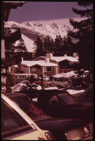 CommonsCONDOMINIUMS AT THE BASE OF THE MOUNTAIN IN VAIL VILLAGE1974
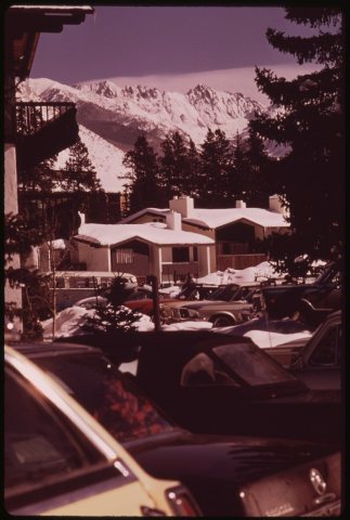 CommonsCondominiums at the Base of the Mountain in Vail Village 02…1974
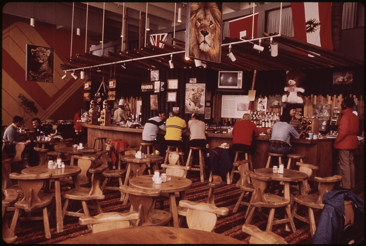
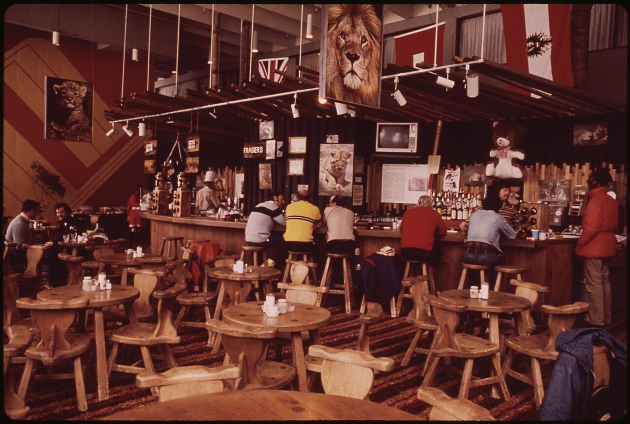
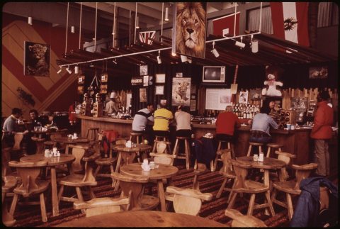 CommonsFRAZIER'S BAR IS AT THE BOTTOM OF LIONSHEAD MOUNTAIN1974
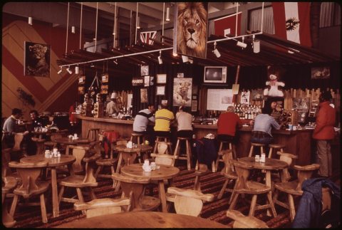 CommonsFrazier's Bar Is at the Bottom of Lionshead Mountain 02-19741974
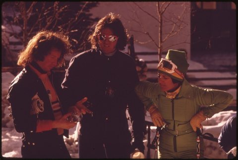 CommonsGATHERING AT A PUB FOR SOME APRES SKI REFRESHMENT1974
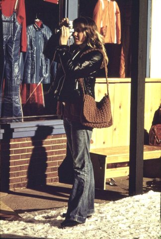 CommonsIn the Village1974
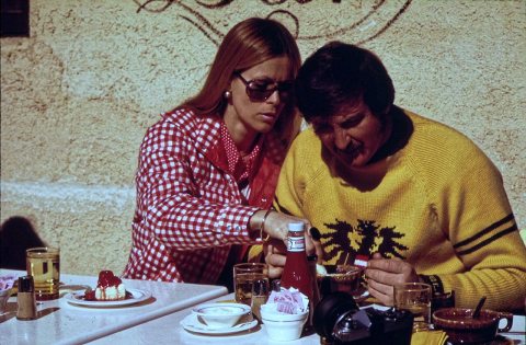 CommonsLunch at Pepi's Outdoor Cafe1974
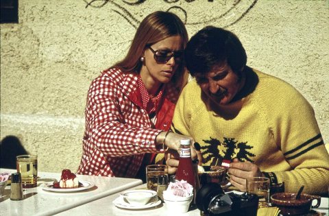 CommonsLunch at Pepi's Outdoor Cafe1974
1990s
Then & now
No then-and-now pairs yet. Take a photo from the same spot as "NO SKIING IN THE STREETS" SAYS THE REGULATION (1974) and it appears here side by side.
🔁 Retake this view · +15Stories next door
nearby towns’ historyFrom Wikimedia Commons (12). Images are copied here with their credits and licenses, shown on each photo’s page. Refreshed monthly.