Yermo’s history is
mostly unwritten
The public archives hold only 4 old photos of Yermo. The rest are in attics, shoeboxes and the historical society. Help start the collection.
The story so far
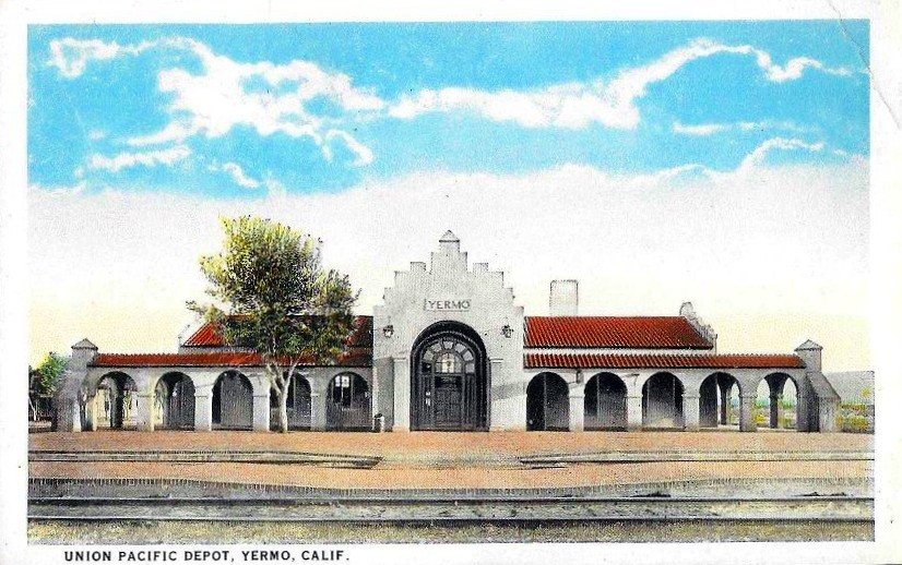
from Wikipedia & the U.S. CensusYermo (Spanish for "wilderness" or "wasteland") is an unincorporated town and census-designated place (CDP) in the Mojave Desert in San Bernardino County, California. It is 13 miles (21 km) east of Barstow on Interstate 15, just south of the Calico Mountains. As of the 2020 census, Yermo had a population of 623. Founded in 1902 and originally named Otis, Yermo is situated at a division point of the Los Angeles and Salt Lake Railroad, later the Union Pacific Railroad line. A post office was established three years later with William J. Flavin serving as Yermo's first postmaster. It later developed around serving motorists traveling the Arrowhead Trail (later U.S. Route 91), which ran through…
Half of its homes were built before 1956.
Wikipedia doesn’t have a history of Yermo yet — the old photos, dates and memories neighbors add here are how it gets written.
Intro from Wikipedia, licensed CC BY-SA 4.0. Population and housing: U.S. Census Bureau.
Timeline
built from the dates on the items belowStart Yermo’s collection
The first neighbors to add old photos shape how Yermo’s history is told.
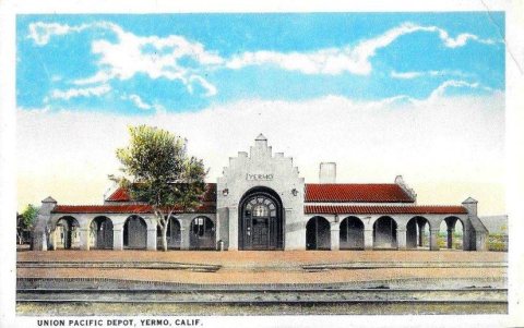
3 of 10 decades since 1900 have photos 🔁Retake an old viewUnion Pacific Depot, Yermo, CA po…, c. 1920: stand where they stood+15 📦Share a family photoSign in to add one+10Famous people close to Yermo
See all 14 →


Yermo, decade by decade
1970s
1990s
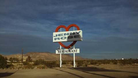
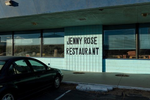
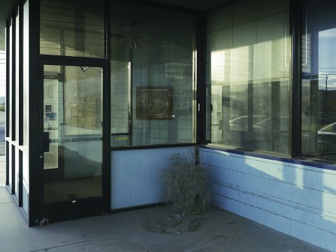
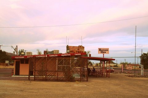
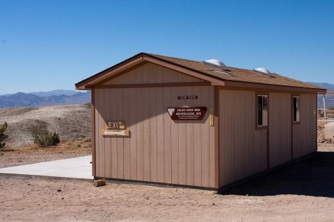
Nothing in Yermo is on the National Register yet
That’s true of most small towns. It doesn’t mean Yermo has no history, only that no one has written up a nomination. The closest listed place is Alf's Blacksmith Shop in Yermo, 4.6 miles away.
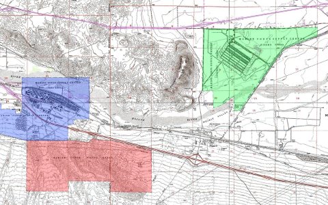
Yermo and the nearest listed places

How a place gets listed
Then & now
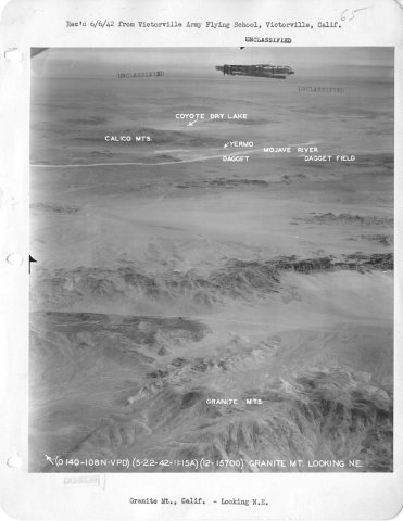
No then-and-now pairs yet. Take a photo from the same spot as California - Golden State through High Head Reservoir (1917) and it appears here side by side.
🔁 Retake this view · +15Stories next door
nearby towns’ historyFrom Wikimedia Commons (11) and the Library of Congress (1). Images are copied here with their credits and licenses, shown on each photo’s page. Refreshed monthly.