
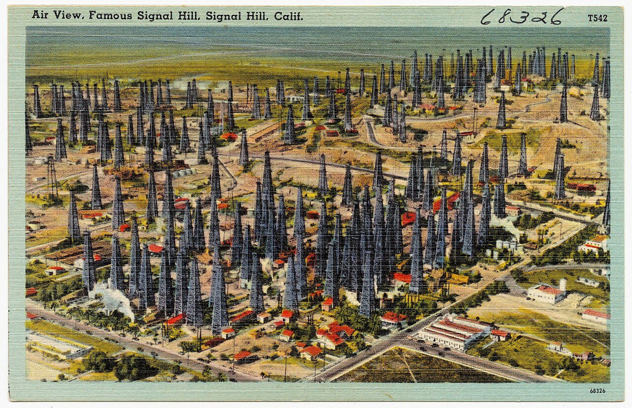
Signal Hill’s history is
mostly unwritten
The public archives hold only 3 old photos of Signal Hill. The rest are in attics, shoeboxes and the historical society. Help start the collection.
The story
from WikipediaRead it all ↗The hill that the city is named after is 365 feet (111 m) above the surrounding city of Long Beach. Because of this height, it was used by the local Tongva Indians for signal fires that could be seen throughout the surrounding area and even out to Catalina Island, 26 miles (42 km) away.
After the Spanish claimed Alta California ("Upper California," or what is now the state of California), Signal Hill eventually became part of the first large rancho grant to be allotted under Spanish rule in Alta California. The Rancho San Pedro (Dominguez Rancho) land grant exceeded 74,000 acres (300 km2) as granted to a soldier, Juan Jose Dominguez, who accompanied Junipero Serra, by Governor Fages through authority of King Carlos III of Spain in 1784.
Text from Wikipedia, licensed CC BY-SA 4.0.
Timeline
built from the dates on the items belowStart Signal Hill’s collection
The first neighbors to add old photos shape how Signal Hill’s history is told.
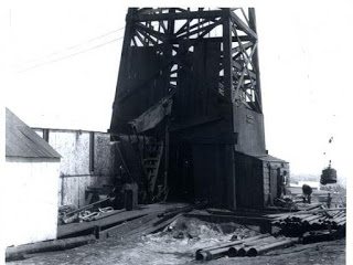
2 of 10 decades since 1900 have photos 🔁Retake an old viewOil well no1 signalhill1921, 1921: stand where they stood+15 📦Share a family photoSign in to add one+10Famous people from Signal Hill
See all 1 →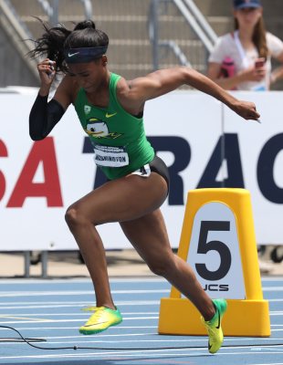
Signal Hill, decade by decade

1990s
Then & now
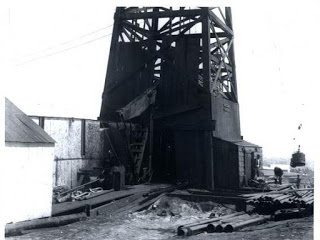
No then-and-now pairs yet. Take a photo from the same spot as Oil well no1 signalhill1921 (1921) and it appears here side by side.
🔁 Retake this view · +15Stories next door
nearby towns’ historyFrom Wikimedia Commons (5) and the Library of Congress (1). Images are copied here with their credits and licenses, shown on each photo’s page. Refreshed monthly.