The story
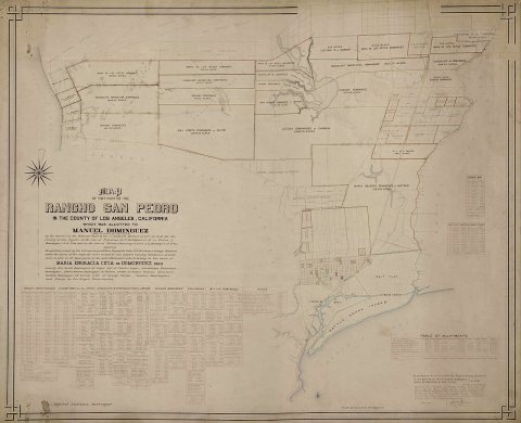
from WikipediaRead it all ↗For thousands of years before the arrival of the first Europeans, Tongva Indians lived in the area. Carson lies on part of the Spanish land grant Rancho San Pedro, from the King of Spain in 1784. The Dominguez Rancho Adobe Museum on Alameda Street in Compton (not far from Carson's city limits) is the historic ranch home of the grantees Juan Dominguez and Manuel Dominguez. Carson was named after George Henry Carson, who married a daughter of the Dominguez family in 1857 and managed the rancho.
Text from Wikipedia, licensed CC BY-SA 4.0.
Timeline
built from the dates on the items belowStart Carson’s collection
The first neighbors to add old photos shape how Carson’s history is told.
0 of 10 decades since 1900 have photos 📦Share a family photoSign in to add one+10Famous people from Carson
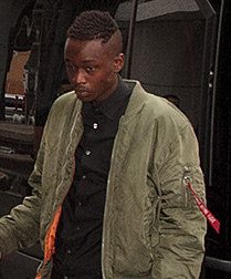
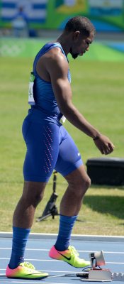
See all 33 →


Carson, decade by decade
1990s
Then & now
When neighbors add old photos, retakes from the same spot appear here side by side.
Stories next door
nearby towns’ historyFrom Wikimedia Commons (6). Images are copied here with their credits and licenses, shown on each photo’s page. Refreshed monthly.