The story
from WikipediaRead it all ↗In 1835, José María Amador was granted 16,500 acres for his service as a Mexican soldier and in Mission San Jose, where he was an administrator in the valley which was named Amador Valley after him. In 1850, Irish settlers bought land from Amador and founded a town.
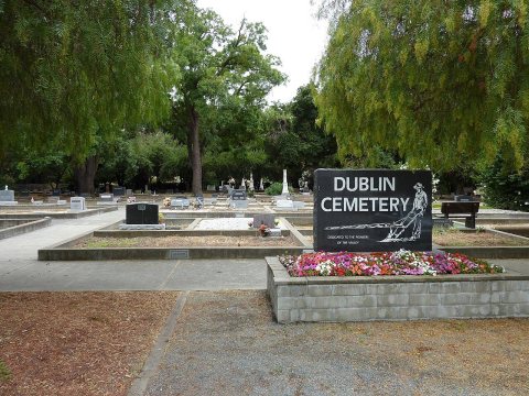
Several historical sites are preserved and located where Dublin Boulevard is crossed by Donlon Way, itself formerly the northernmost segment of the main road to Sunol and Niles Canyon (present-day Foothill Road):
The Murray Schoolhouse was established in 1856 with 50 pupils.
Green's Store (opened in 1860) is the current home of the Dublin Church of Christ.
Text from Wikipedia, licensed CC BY-SA 4.0.
Start Dublin’s collection
The first neighbors to add old photos shape how Dublin’s history is told.
0 of 10 decades since 1900 have photos 📦Share a family photoSign in to add one+10Dublin, decade by decade
2000

Then & now
When neighbors add old photos, retakes from the same spot appear here side by side.
Stories next door
nearby towns’ historyFrom Wikimedia Commons (6). Images are copied here with their credits and licenses, shown on each photo’s page. Refreshed monthly.