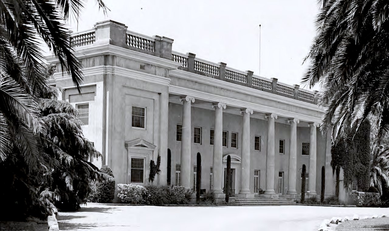
Livermore’s history is
mostly unwritten
The public archives hold just one old photo of Livermore. The rest are in attics, shoeboxes and the historical society. Help start the collection.
The story
from WikipediaRead it all ↗The valley and upland areas where contemporary Livermore is located were home to Chochenyo-speaking peoples. As a group, these people are considered Ohlone Costanoan, with distinct cultural affiliations from the neighboring Bay Miwok to the north and Valley Yokuts to the east. Four tribelets—the Yulien, Ssaoam, Ssouyn, and Pelnen—occupied the valley floor, with territory extending into the surrounding hills. Semi-permanent villages stood near water drainages on the valley floor within the current urban limits of Livermore, with seasonal camps in the surrounding uplands.
Text from Wikipedia, licensed CC BY-SA 4.0.
Timeline
built from the dates on the items belowStart Livermore’s collection
The first neighbors to add old photos shape how Livermore’s history is told.
1 of 10 decades since 1900 have photos 🔁Retake an old viewLivermore Sanitarium, 1904: stand where they stood+15 📦Share a family photoSign in to add one+10Livermore, decade by decade
1990s
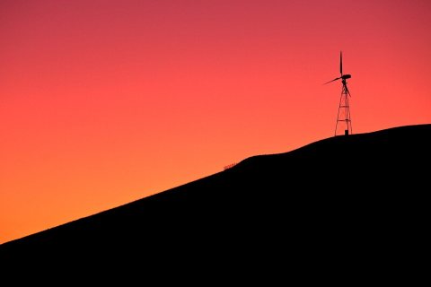
Then & now
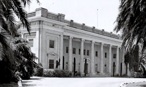
No then-and-now pairs yet. Take a photo from the same spot as Livermore Sanitarium (1904) and it appears here side by side.
🔁 Retake this view · +15Historic places
National Register · via Wikidata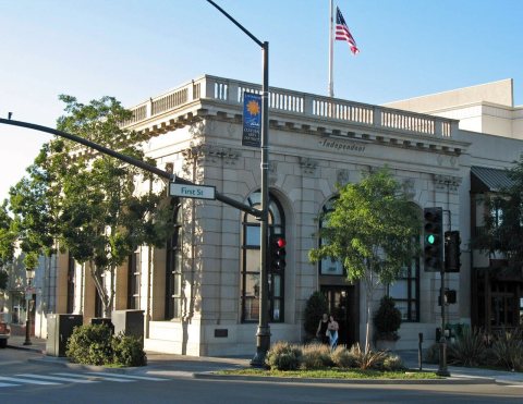
From Wikimedia Commons (5) and the National Register (1). Images are copied here with their credits and licenses, shown on each photo’s page. Refreshed monthly.