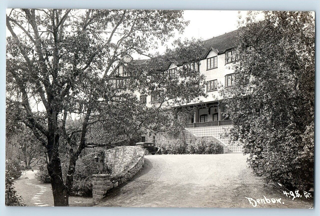
Benbow’s history is
mostly unwritten
The public archives hold just one old photo of Benbow. The rest are in attics, shoeboxes and the historical society. Help start the collection.
The story
from WikipediaRead it all ↗The children of Arthur Benbow purchased 1,288 acres (521 ha) from Ernest Linser and also some land from John Kamper, Jack Bowden and a Mr. Peirce in 1922. It soon became apparent that ranching would not be sufficient to meet their needs so the family constructed the Benbow Inn resort hotel. In the early years the Inn was known as the Hotel Benbow and opened on July 17, 1926. The electricity for the hotel came from two diesel generators until a dam and powerhouse was completed on the south fork of the Eel River. The Tudorbethan style inn is still in operation on US Route 101 between Humboldt Bay and the San Francisco Bay Area.
Text from Wikipedia, licensed CC BY-SA 4.0.
Timeline
built from the dates on the items belowStart Benbow’s collection
The first neighbors to add old photos shape how Benbow’s history is told.
1 of 10 decades since 1900 have photos 🔁Retake an old viewFrank Patterson 4G8, 1930s: stand where they stood+15 📦Share a family photoSign in to add one+10Famous people close to Benbow
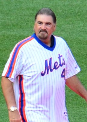
See all 9 →
Benbow, decade by decade
1990s
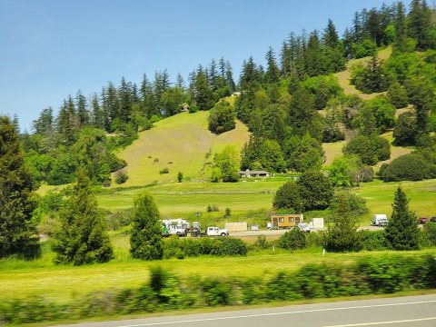
1 historic place in Benbow
1 place in Benbow is on the National Register of Historic Places, the country’s official list of buildings and places worth saving.
Where they are
When they were listed
Then & now
No then-and-now pairs yet. Take a photo from the same spot as Frank Patterson 4G8 (1930s) and it appears here side by side.
🔁 Retake this view · +15Stories next door
nearby towns’ historyFrom Wikimedia Commons (2). Images are copied here with their credits and licenses, shown on each photo’s page. Refreshed monthly.