A history of Apache Junction,
since 1978
Postcards, papers and photographs of Apache Junction from public archives, woven together by decade. Neighbors fill in the gaps.
The story
from WikipediaRead it all ↗The location became a historical landmark. It is part of a scenic byway that was opened to the public in 1922 and is currently part of a 120-mile-long (190 km) "circle trail" that begins and ends in Apache Junction. The O'odham Jeweḍ, Akimel O'odham (Upper Pima), and Hohokam people all have tribal ties to the area.
Text from Wikipedia, licensed CC BY-SA 4.0.
Timeline
built from the dates on the items belowFinish Apache Junction’s story
Most archives stop around 1920. The photos from after that are in family albums, not libraries.
2 of 10 decades since 1900 have photos 🔁Retake an old viewFigure of Indian made of papier m…, 1940: stand where they stood+15 📦Share a family photoSign in to add one+10Apache Junction, decade by decade
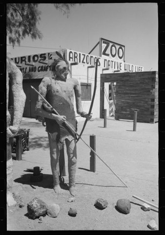 LOCFigure of Indian made of papier mache1940
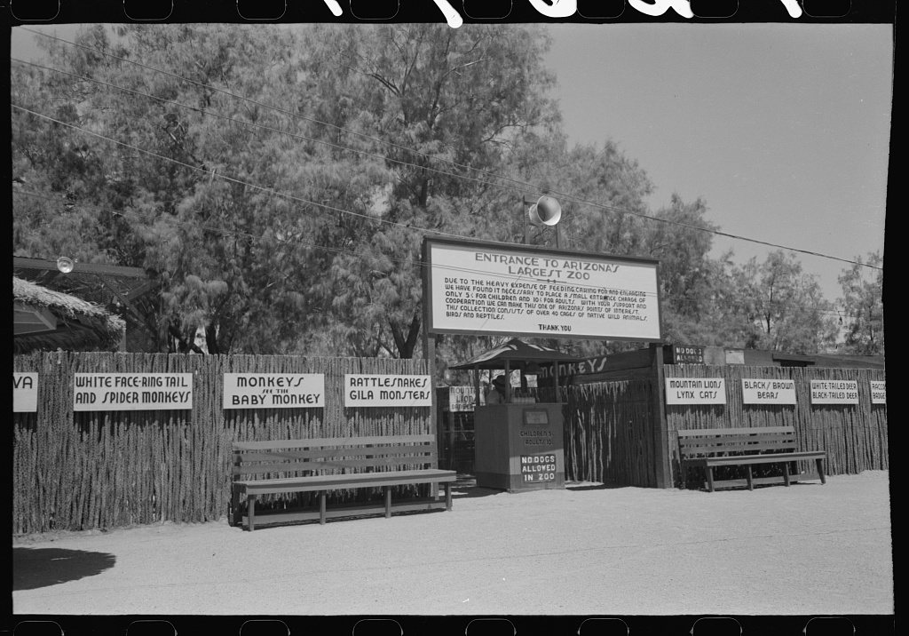
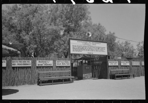 LOCZoo designed to attract tourists at Apache Junction, Arizon…1940
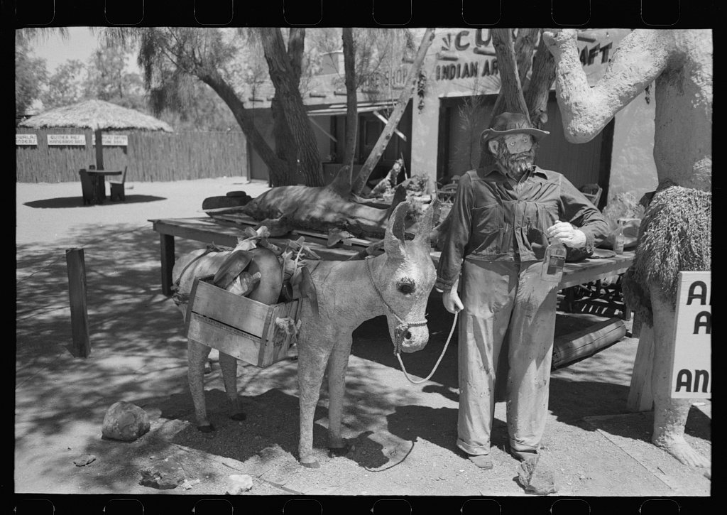
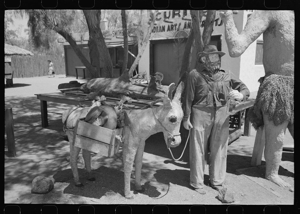
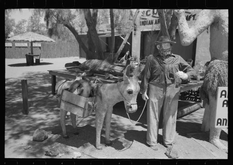 LOCFigure of a miner and his donkey made of papier mache1940
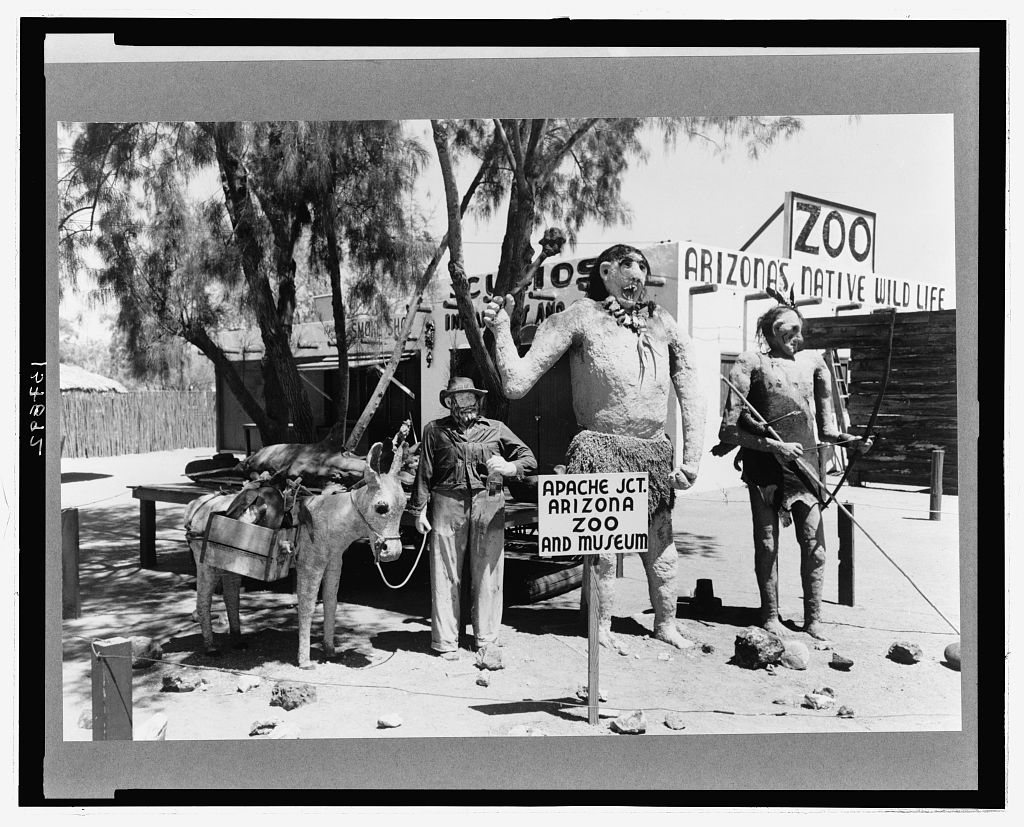
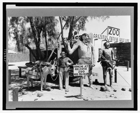 LOCGroup of figures made of papier mache which attract passing…1940
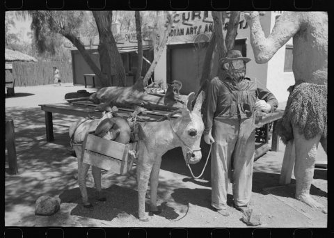 LOCUntitled photo, possibly related to: Group of figures made …1940
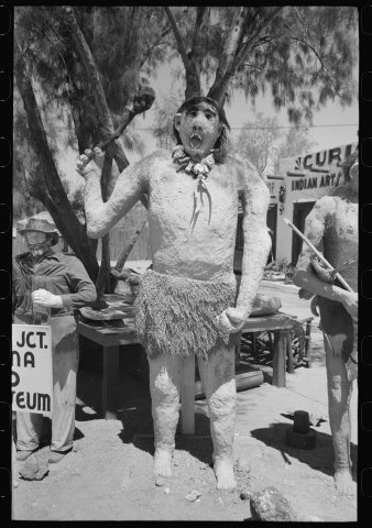 LOCUntitled photo, possibly related to: Group of figures made …1940
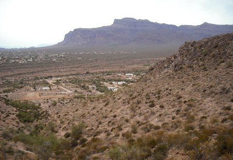
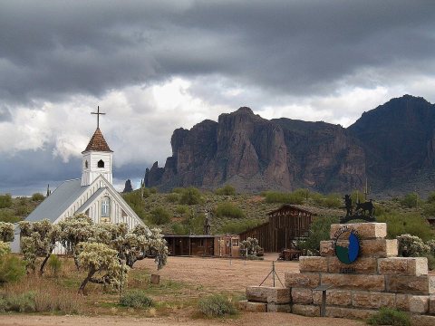
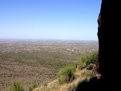
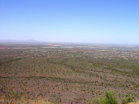
1990s
Then & now
No then-and-now pairs yet. Take a photo from the same spot as Figure of Indian made of papier mache (1940) and it appears here side by side.
🔁 Retake this view · +15Stories next door
nearby towns’ historyFrom Wikimedia Commons (6) and the Library of Congress (6). Images are copied here with their credits and licenses, shown on each photo’s page. Refreshed monthly.