A history of Chandler,
since 1912
Postcards, papers and photographs of Chandler from public archives, woven together by decade. Neighbors fill in the gaps.
The story
from WikipediaRead it all ↗In 1891, Alexander J. Chandler, a Canadian and the first veterinary surgeon in the Arizona Territory, settled on a ranch south of Mesa and studied irrigation engineering. By 1900, he had acquired 18,000 acres (73 km2) of land and began drawing up plans for a town-site on what was then known as the Chandler Ranch. The town-site office opened on May 16, 1912.
Text from Wikipedia, licensed CC BY-SA 4.0.
Timeline
built from the dates on the items belowFinish Chandler’s story
Most archives stop around 1920. The photos from after that are in family albums, not libraries.
2 of 10 decades since 1900 have photos 🔁Retake an old viewUntitled photo, 1920: stand where they stood+15 📦Share a family photoSign in to add one+10Chandler, decade by decade
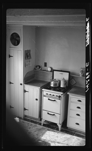 LOCChandler, Arizona. Apartment kitchen1936
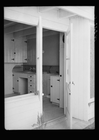 LOCInterior view of kitchen. Chandler, Arizona. Apartments1936
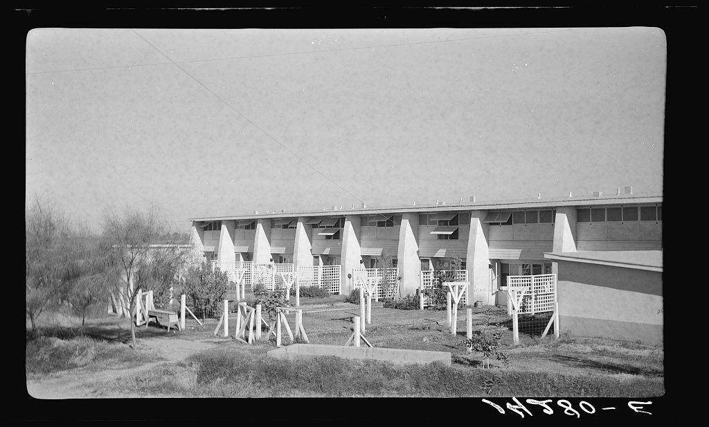
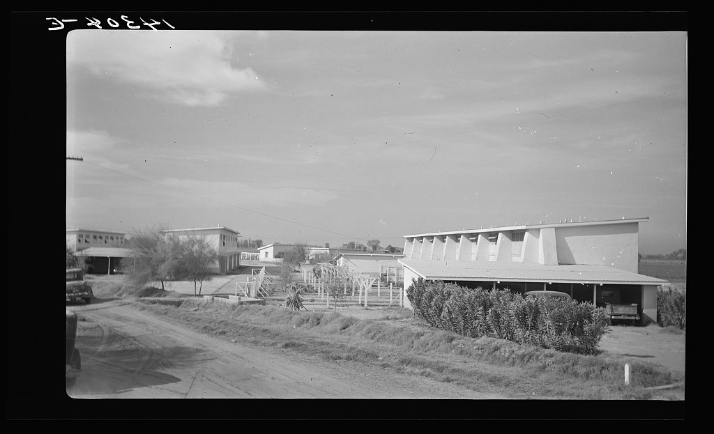
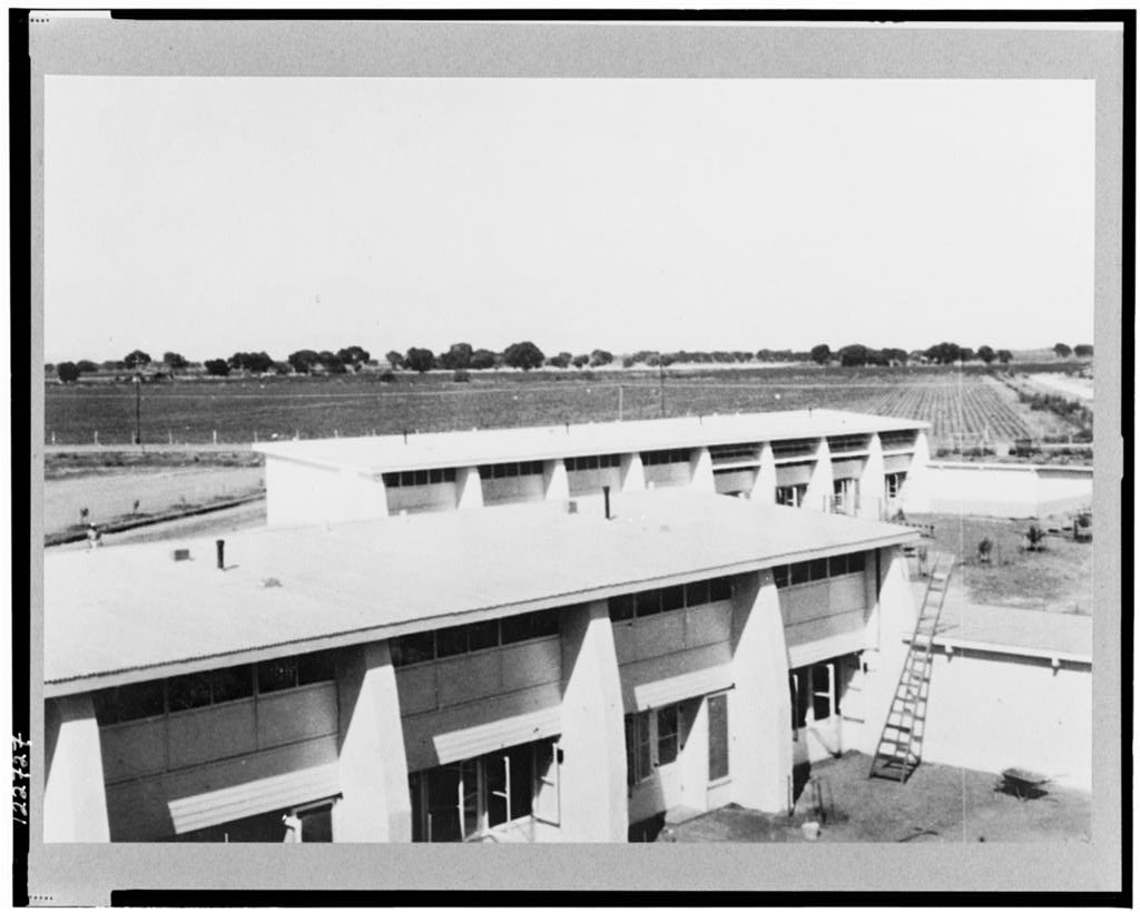
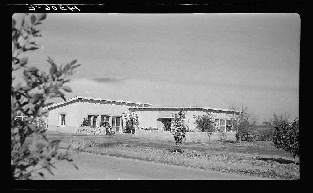
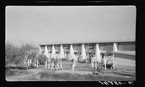 LOCApartment building. Chandler tract, Arizona1936
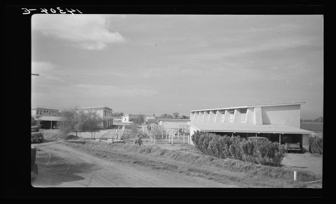 LOCApartment buildings. Chandler tract, Arizona1936
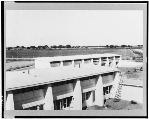 LOCApartment building. Chandler tract, Arizona1936
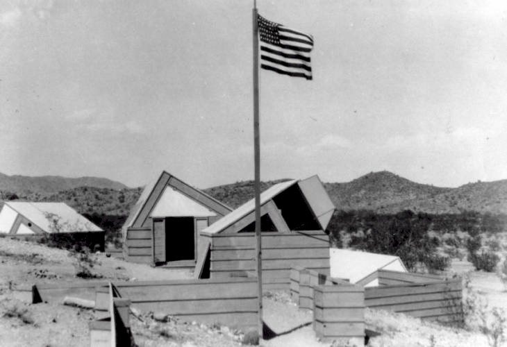
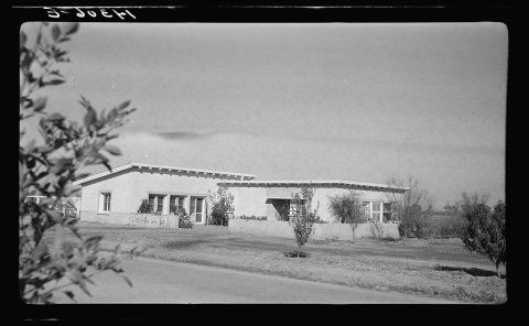 LOCCommunity building. Chandler tract, Arizona. Adobe construc…1936
1990s
Then & now
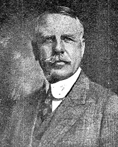
No then-and-now pairs yet. Take a photo from the same spot as Untitled photo (1920) and it appears here side by side.
🔁 Retake this view · +15Stories next door
nearby towns’ historyFrom Wikimedia Commons (2) and the Library of Congress (6). Images are copied here with their credits and licenses, shown on each photo’s page. Refreshed monthly.