AKAlaska rankings

Wettest towns in Alaska

Ranked by rain and melted snow in a normal year, 1991–2020, from NOAA’s gridded climate normals for each town. Neighboring towns on the same 5 km grid square have the same numbers, so each square is listed once, under its largest town. 41 towns with 2,500+ residents.
NOAA U.S. Climate Normals, 1991–2020

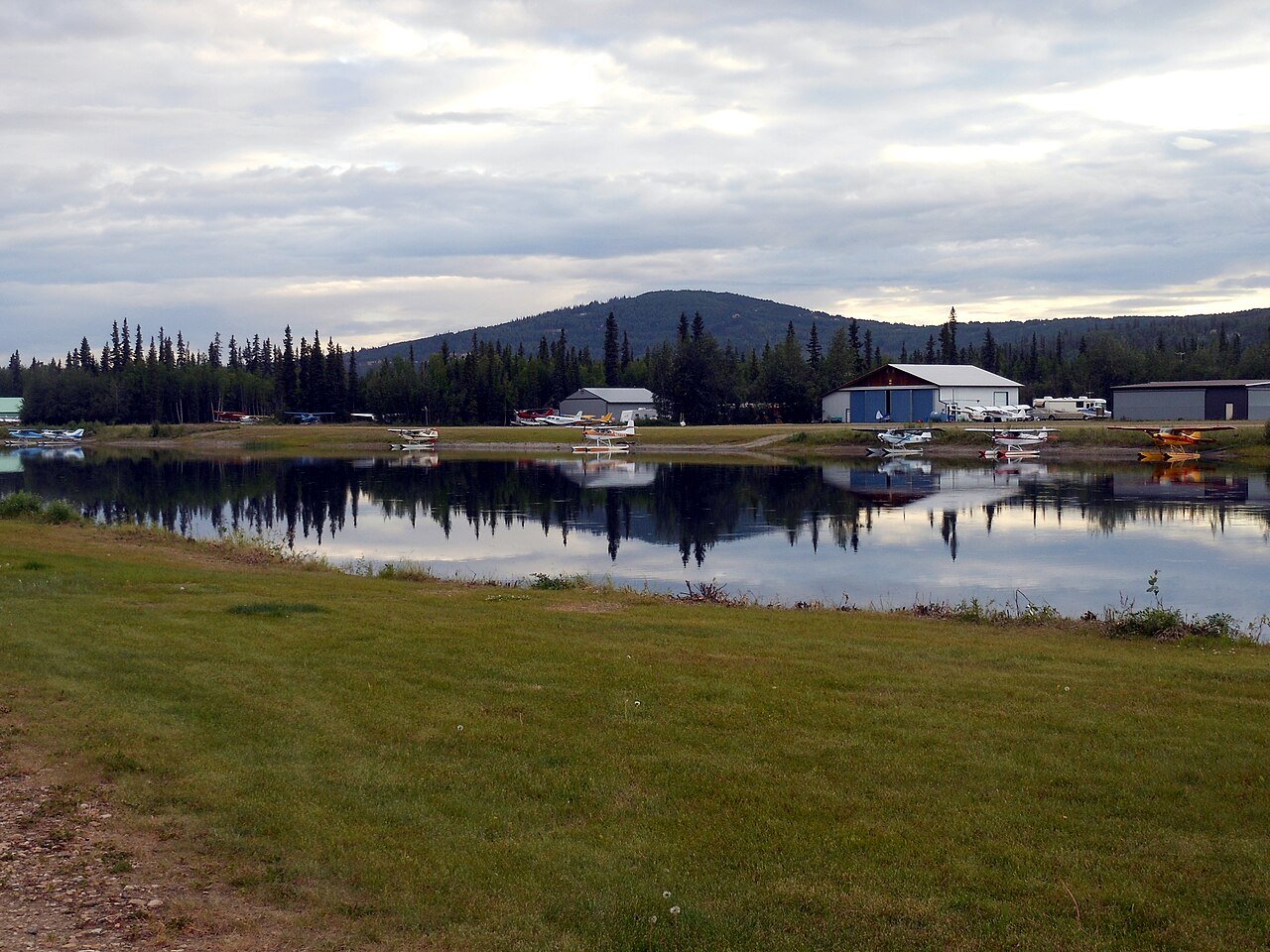
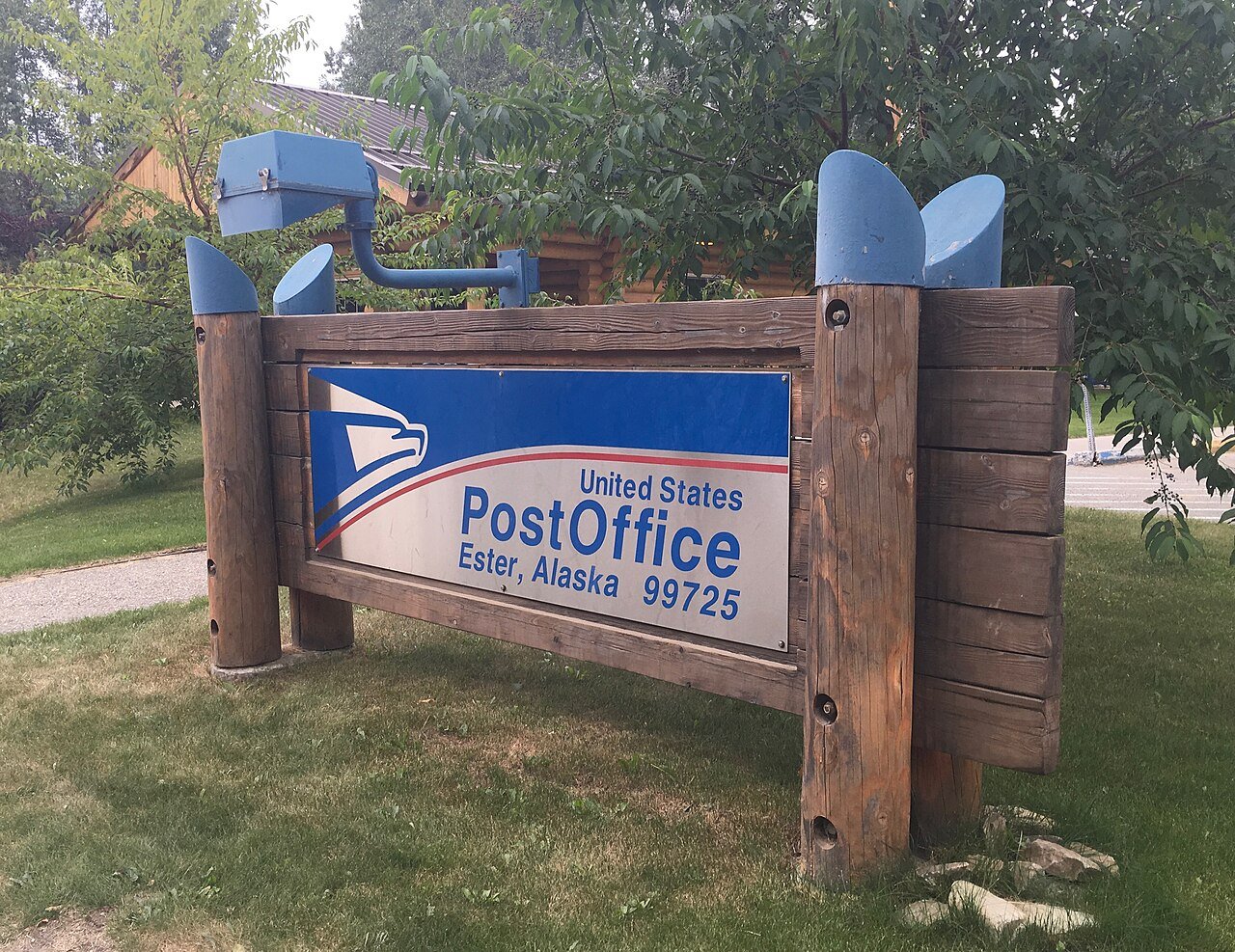
Ester
Alaska · Wettest

Where Ester lands: #27 of 41

15 in · Visit Ester →

#TownRain + melted snowWettest monthSnow a year
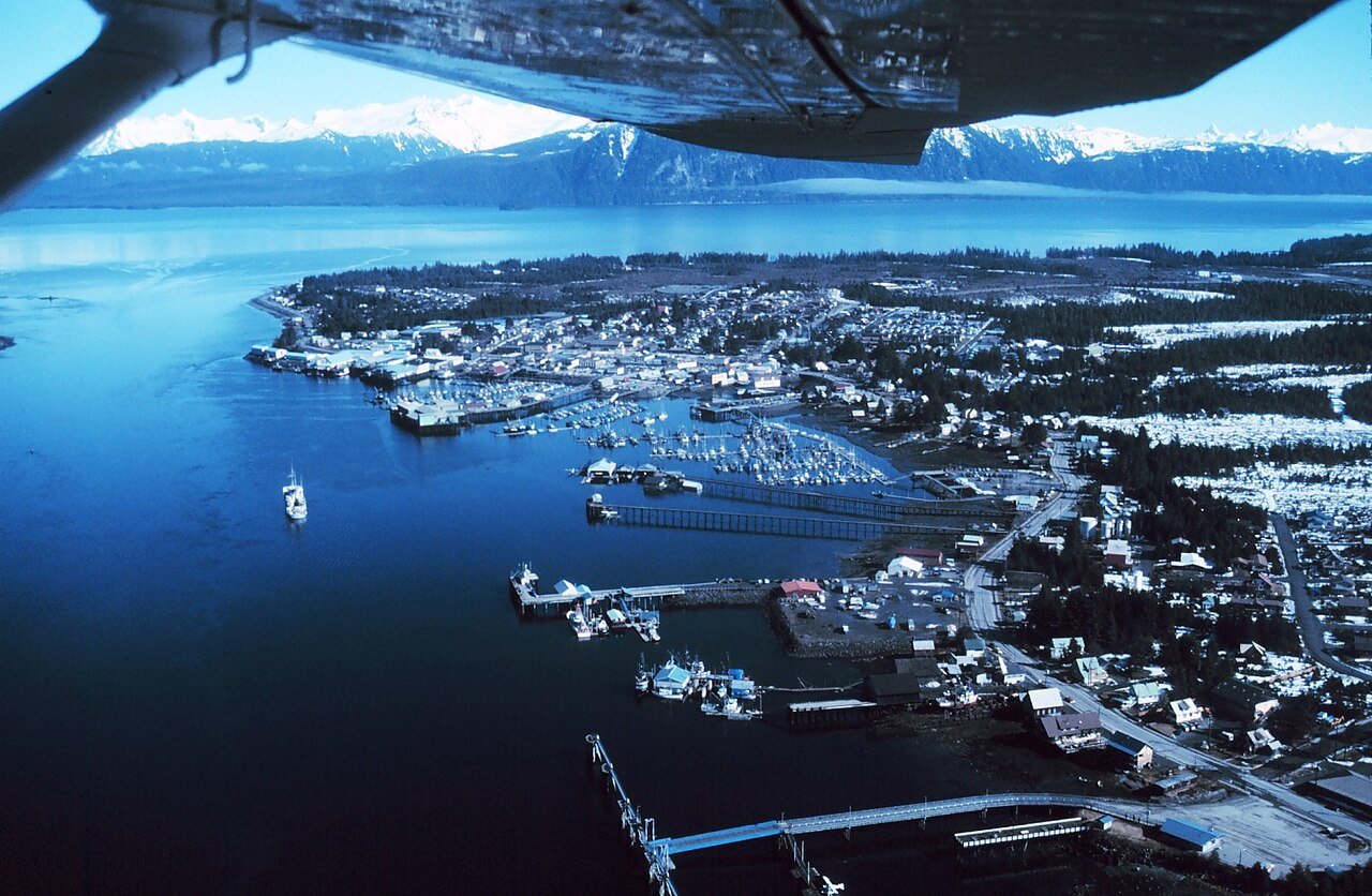
1 Ketchikan8,078 people 150 in October 35 in
2 Petersburg Petersburg3,227 people 110 in September 86 in
3 Juneau city and31,794 people 90 in September 88 in
4 Sitka city and8,368 people 85 in October —
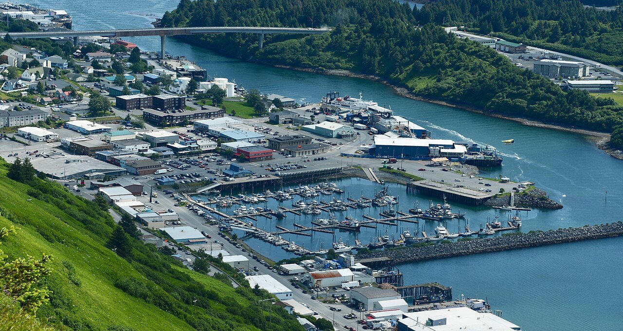
5 Kodiak Kodiak5,447 people 78 in October 70 in
6 Mill Bay3,654 people 76 in October 43 in
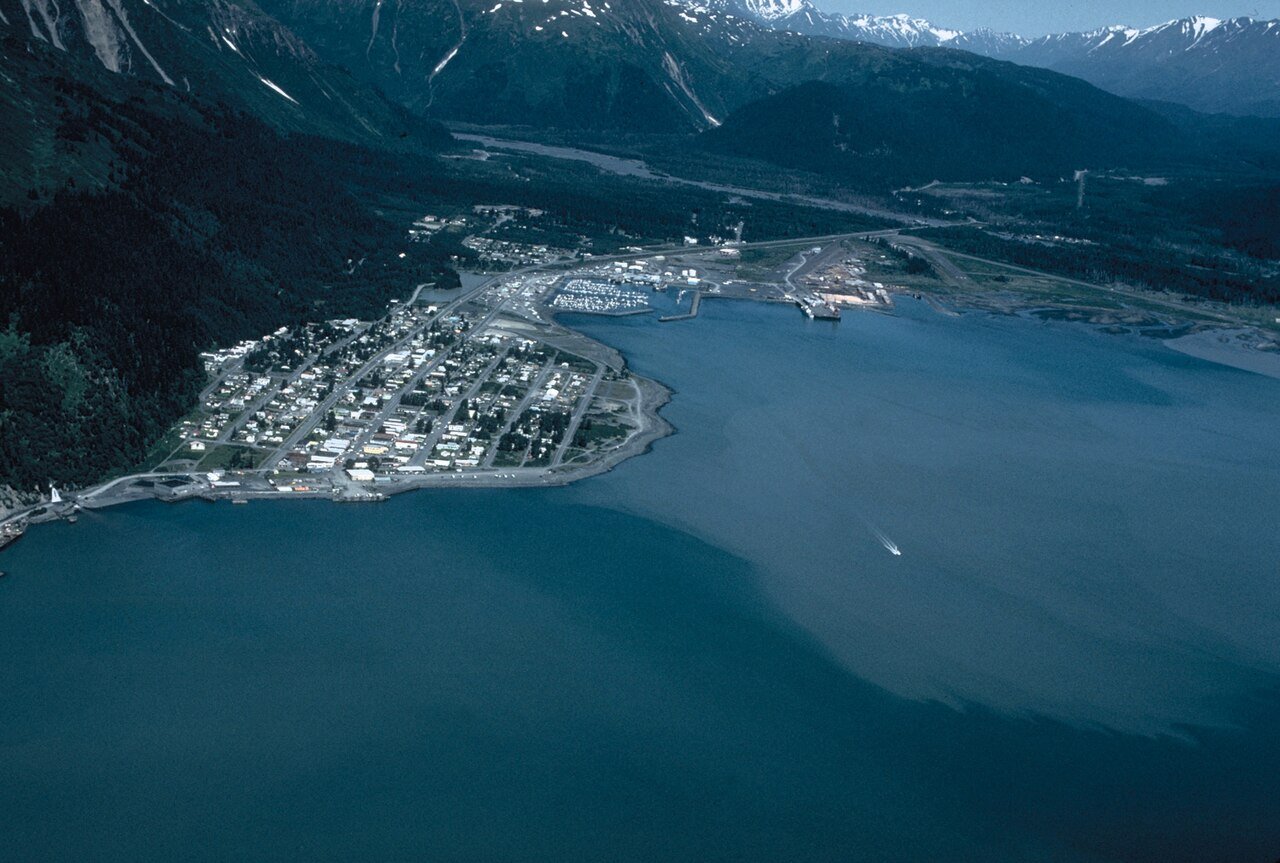
7 Seward Seward2,794 people 70 in September 90 in
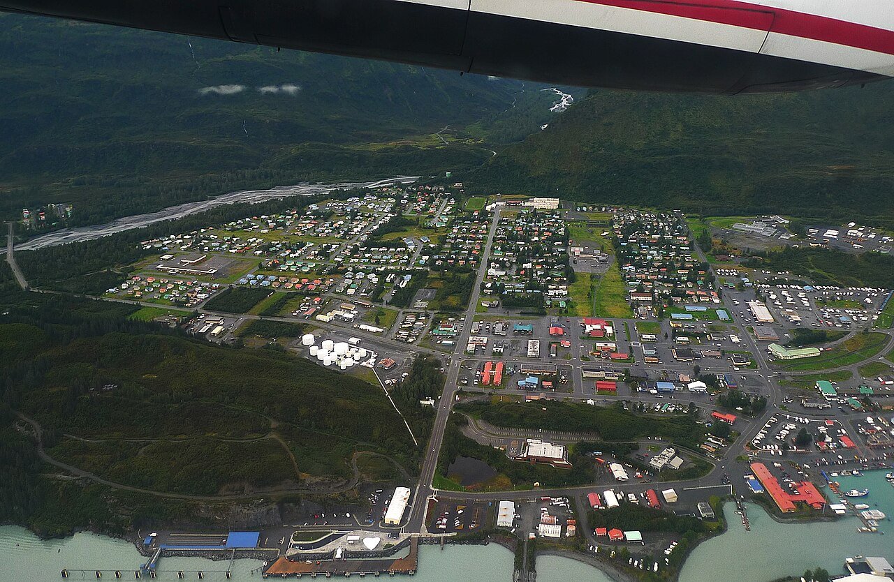
8 Valdez Valdez3,847 people 68 in September 325 in
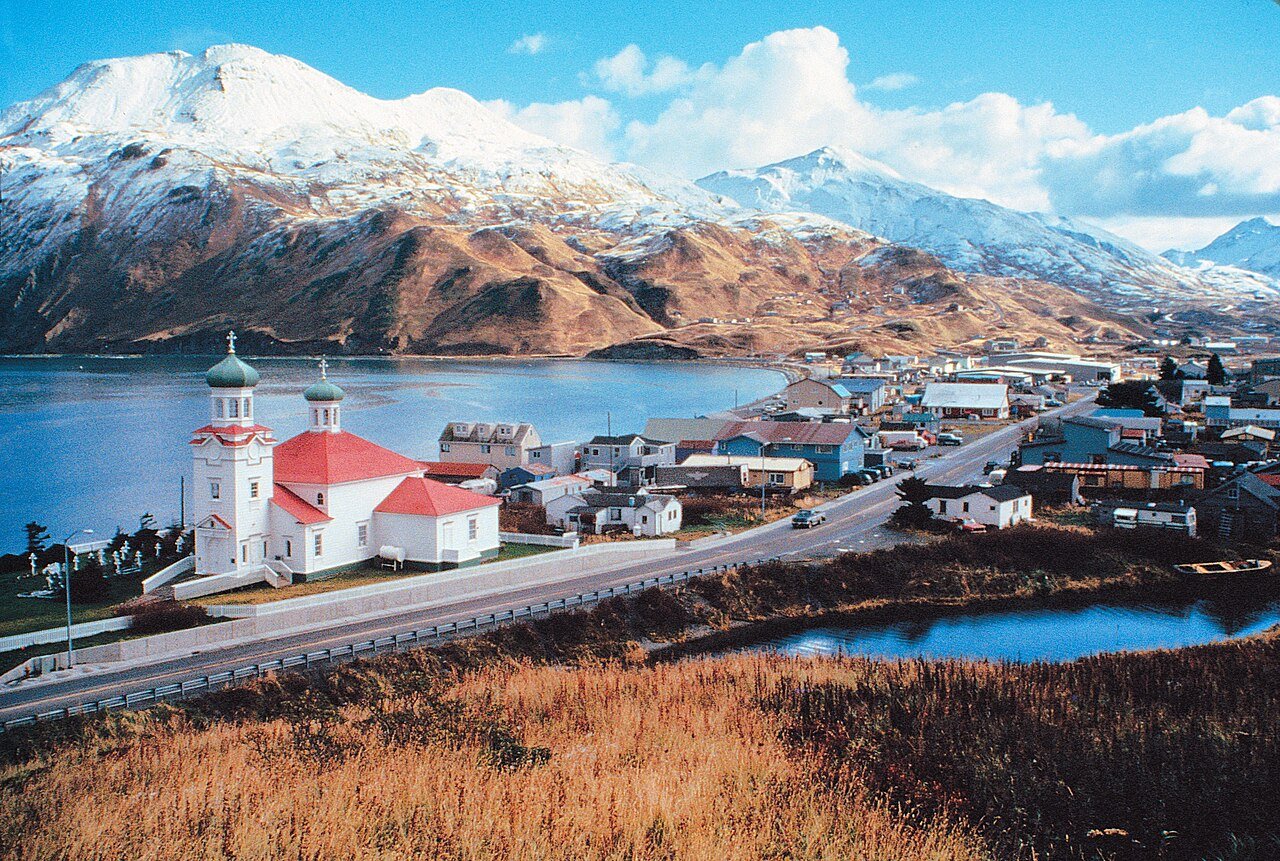
9 Unalaska Unalaska4,556 people 60 in October 82 in
10 Homer Homer5,877 people 24 in September 101 in
11 Map of Sterling Sterling6,323 people 23 in September —
12 Anchorage288,976 people 23 in September 59 in
13 Map of Kalifornsky Kalifornsky8,663 people 22 in September —
14 Soldotna Soldotna4,485 people 22 in September —
15 Bethel Bethel6,312 people 20 in August 64 in
16 Map of Tanaina Tanaina9,646 people 19 in August 62 in
17 Map of Meadow Lakes Meadow Lakes8,689 people 19 in August 62 in
18 Map of Fishhook Fishhook5,819 people 19 in August 62 in
19 Kenai7,641 people 18 in September —
20 Nikiski Nikiski4,773 people 18 in September —
21 Palmer Palmer6,268 people 18 in August 83 in
22 Butte Butte4,085 people 18 in August 83 in
23 Map of Farm Loop Farm Loop2,894 people 18 in August 83 in
24 Nome Nome3,653 people 17 in August 81 in
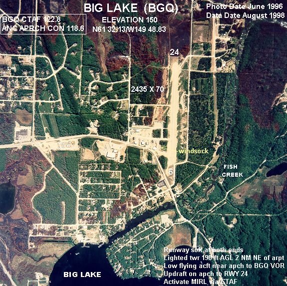
25 Big Lake Big Lake3,585 people 16 in September 59 in
26 Steele Creek5,928 people 15 in August 53 in
27 Ester Ester2,752 people 15 in August 61 in
28 Map of Knik-Fairview Knik-Fairview19,972 people 14 in August 50 in
29 North Lakes North Lakes10,223 people 14 in August 50 in
30 Wasilla Wasilla9,720 people 14 in August 50 in
31 Gateway Gateway6,845 people 14 in August 50 in
32 South Lakes South Lakes6,180 people 14 in August 50 in
33 Map of Goldstream Goldstream3,294 people 14 in July 62 in
34 Map of College College11,924 people 13 in July 64 in
35 Farmers Loop4,954 people 13 in July 64 in
36 Fairbanks Fairbanks32,083 people 13 in July 58 in
37 Badger Badger18,677 people 13 in July 54 in
38 Eielson AFB Eielson AFB3,155 people 13 in July 68 in
39 Chena Ridge Chena Ridge5,881 people 12 in July 65 in
40 Kotzebue Kotzebue2,984 people 11 in August 64 in
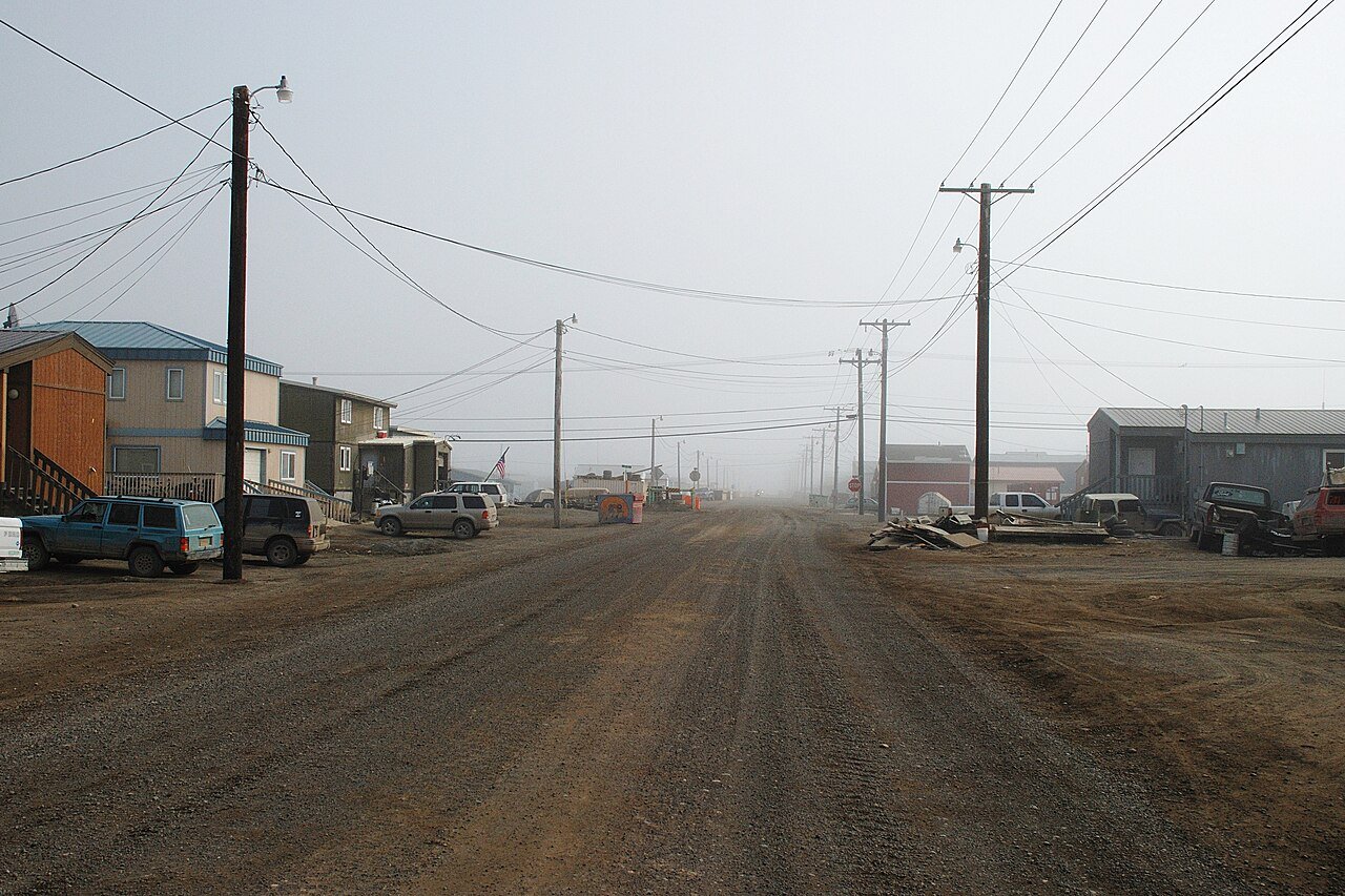
41 Utqiaġvik Utqiaġvik4,778 people 5.4 in August 46 in

How this ranking works

We rank every town by rain and melted snow in a normal year, 1991–2020, from NOAA’s gridded climate normals for each town. The town with the highest figure ranks #1. Normals are 30-year averages, not a forecast, and each town’s Climate page shows its whole year month by month.

Temperatures and rainfall come from NOAA’s gridded normals, about 5 km (3 miles) square, read at each town’s center, so hills and coastlines are built in. Towns whose centers fall in the same square have the same numbers, so only the largest of them is listed.

Only towns with at least 2,500 residents are ranked; Census estimates for smaller places are too uncertain. Population and income: U.S. Census Bureau American Community Survey 5-year estimates. Climate: NOAA NCEI U.S. Climate Normals, 1991–2020. Town photos: Wikimedia Commons, credited on each town’s page.

Same ranking in other states