Cheyenne

What’s happening
Weather
Forecast →Upcoming events
Put the next local happening — a market, a meeting, a concert — on the map.
Local news
Headlines via Google News · Articles belong to their publishers.
The Cheyenne album
Outdoors in Cheyenne
Parks & trails →Trails & parks © OpenStreetMap contributors · Conserved land: USGS PAD-US
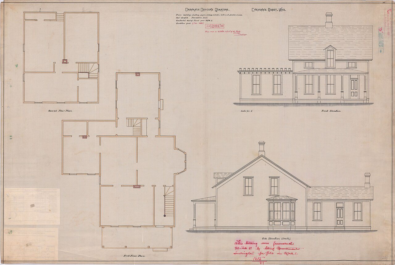 1881
1881
Ordnance Officer's Quarters, Cheyenne Depot, Wyoming, 1881
Photo · Wikimedia Commons
Landmark of the day
All 51 historic places →
St. Mary's Catholic Cathedral
St. Mary's Cathedral is the cathedral and parish church in the Diocese of Cheyenne located in Cheyenne, Wyoming, United States. It was listed on the National Register of Historic Places in 1974.
About Cheyenne
Capital and most populous city of Wyoming, USCheyenne ( shy-AN or shy-EN) is the capital and most populous city of the U.S. state of Wyoming. Its population was 65,132 at the 2020 census, while the Cheyenne metropolitan area encompassing all of Laramie County had an estimated 102,000 residents. Cheyenne is situated on Crow Creek and Dry Creek. It is the county seat of Laramie County. Cheyenne was established within the Dakota Territory in 1867 as a junction along the Union Pacific Railroad. Local residents named the town for the Cheyenne people. Its economy is anchored by government services, transportation, and military operations, notably Francis E. Warren Air Force Base, with emerging growth in data centers and renewable energy. Ch…
From Wikipedia, licensed CC BY-SA 4.0 · facts via Wikidata (CC0)
How Cheyenne ranks
All →Town numbers
Housing in Cheyenne
The typical Cheyenne home is worth about $392,000, up 3.5% in a year, 5% above the Wyoming typical home.
A strong seller's market
Safety in Cheyenne
Safety Grade D
Cheyenne reports more crime per resident than most U.S. towns we grade: about 86% report less.
Work & commute in Cheyenne
Full picture →70% of Cheyenne’s working residents work right in town. The top destinations are Fox Farm-College (3%), Laramie (2%) and Casper (1%). Half commute less than 3 miles.
Health in Cheyenne
Health Grade B
Healthier than 63% of U.S. towns on seven CDC estimates.
Compared with Wyoming
of 26 measures CDC estimates. The other 23 are too close to call.
What stands out
Care nearby
Natural hazards in Cheyenne
Expected storm and flood damage is higher than in 28% of U.S. communities.
Climate in Cheyenne
Full climate →Cheyenne has chilly, snowy winters and warm summers, with very little rain. A typical July afternoon reaches 85°, a January night drops to 16°, and about 65 inches of snow falls in a normal winter.
Schools in Cheyenne
All Cheyenne schools →School Grade C-
The public schools Cheyenne’s kids attend, from kindergarten through graduation, trail 83% of Wyoming’s districts on state tests and graduation. Among towns with similar incomes, they rank near the bottom.
School data from the U.S. Department of Education (NCES, EDFacts). The School Grade is our own summary of state test results and graduation rates, graded within WY. Ratings are from neighbors.
Cheyenne is a college town
Colleges →of Cheyenne’s residents are enrolled in college. Laramie County Community College has about 3,148 students on campus.
Cheyenne’s library
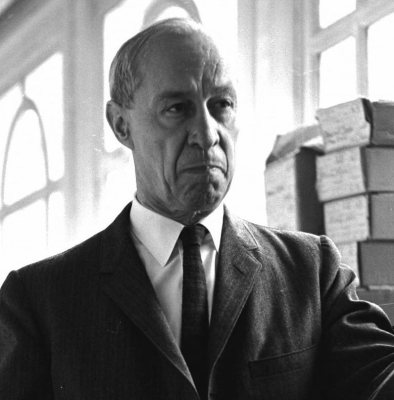
Library details →Famous people from Cheyenne
See all 76 →



Where Cheyenne is
Explore map →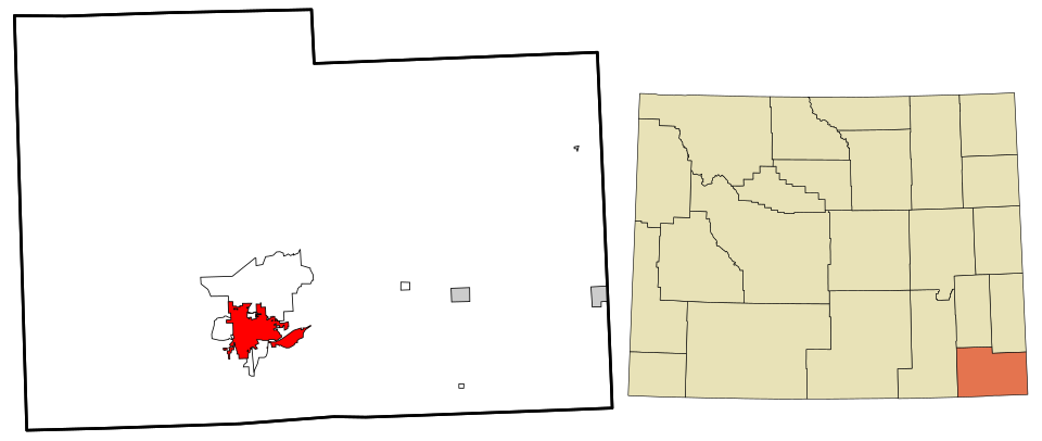

Location map