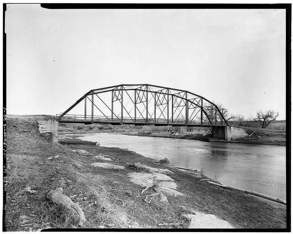
Arvada’s history is
mostly unwritten
The public archives hold only 2 old photos of Arvada. The rest are in attics, shoeboxes and the historical society. Help start the collection.
The story
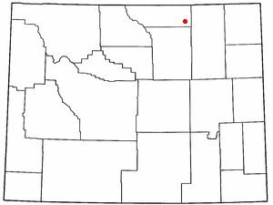
from WikipediaRead it all ↗Arvada, Wyoming, is located on the west bank of the Powder River, about fifty miles northwest of
Gillette. From 1888 to 1891, a stage line that ran from Sundance to
Buffalo crossed the Powder River on a ferry boat at the future site of Arvada. The town of Suggs, Wyoming, was established on the east bank of the river in 1891, and a post office opened September 14, 1891. Suggs was named for a local rancher.
During the summer of 1892, railroad crews working on the Burlington and Missouri River Railroad, built a bridge across the Powder River at Suggs, although the railroad had only reached Gillette at that point in time. Suggs quickly became an "end of tracks town" with bars, brothels, and gambling establishments.
Text from Wikipedia, licensed CC BY-SA 4.0.
Start Arvada’s collection
The first neighbors to add old photos shape how Arvada’s history is told.
0 of 10 decades since 1900 have photos 🗓️Date a photo2 archive items have no date+2 🔁Retake an old viewArvada Bridge, Spanning Power Riv…: stand where they stood+15 📦Share a family photoSign in to add one+10Arvada, decade by decade
2000
unknown2 items
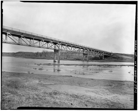
1 historic place in Arvada
1 place in Arvada is on the National Register of Historic Places, the country’s official list of buildings and places worth saving.
Where they are
When they were listed

Then & now
No then-and-now pairs yet. Take a photo from the same spot as Arvada Bridge, Spanning Power River on County Road No. 38 and it appears here side by side.
🔁 Retake this view · +15Stories next door
nearby towns’ historyFrom Wikimedia Commons (1) and the Library of Congress (2). Images are copied here with their credits and licenses, shown on each photo’s page. Refreshed monthly.