A history of Rand,
then and now
Postcards, papers and photographs of Rand from public archives, woven together by decade. Neighbors fill in the gaps.
The story
from WikipediaRead it all ↗The unincorporated community within the historic Kanawha Salines area, was named after Plus Rand Levi, son of Mordecai Levi, patent holder of the Brick Road. It was originally named Plus from 1907 to 1909, when a large tract was purchased from the Dickinson family. Because there was a town already called Plus, the community changed its name to Levi. Around the 1930s or 1940s, due to a town in Braxton County being named Levi, the community changed its name again, to Rand.
Text from Wikipedia, licensed CC BY-SA 4.0.
Timeline
built from the dates on the items belowFinish Rand’s story
Most archives stop around 1920. The photos from after that are in family albums, not libraries.
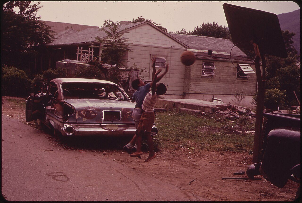
1 of 10 decades since 1900 have photos 🔁Retake an old viewA basketball game on unpaved Chur…, 1973: stand where they stood+15 📦Share a family photoSign in to add one+10Rand, decade by decade
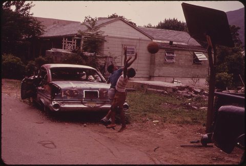 CommonsA basketball game on unpaved Church Avenue, Rand, West Virg…1973
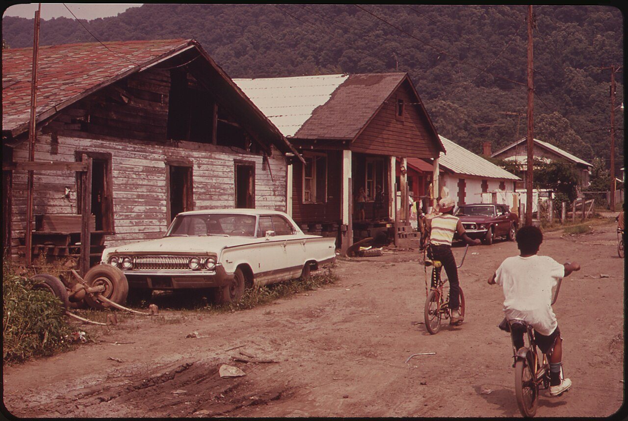
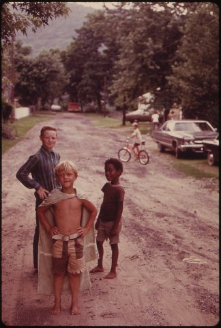 CommonsCHILDREN PLAY IN AN UNPAVED STREET IN1973
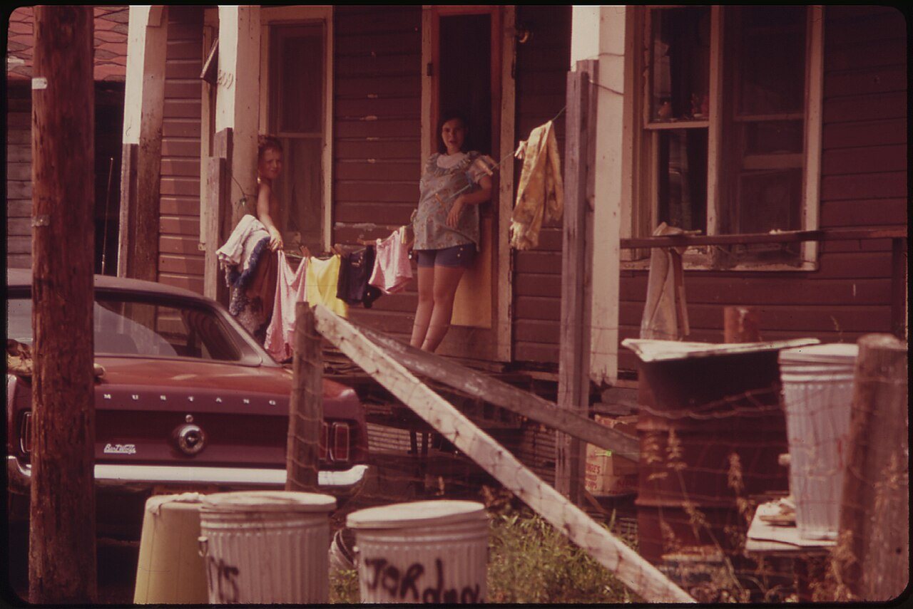
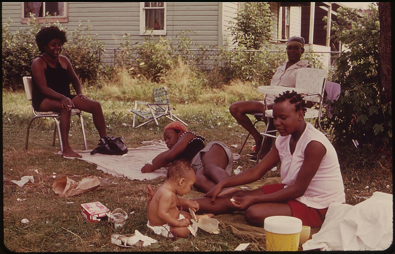
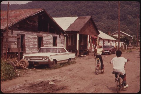 CommonsRAND, WV., WITH MUCH OF ITS POPULATION LIVING IN POVERTY, H…1973
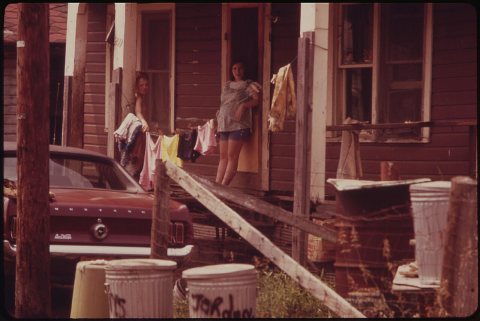 CommonsRAND, WV., WITH MUCH OF ITS POPULATION LIVING IN POVERTY, H…1973
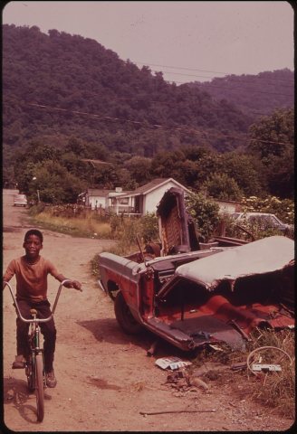 CommonsRAND, WV., WITH MUCH OF ITS POPULATION LIVING IN POVERTY, H…1973
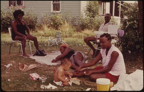 CommonsRAND, WV., WITH MUCH OF ITS POPULATION LIVING IN POVERTY, H…1973
1990s
Nothing in Rand is on the National Register yet
That’s true of most small towns. It doesn’t mean Rand has no history, only that no one has written up a nomination. The closest listed place is Malden Historic District in Malden, 1.1 miles away.
Rand and the nearest listed places
How a place gets listed
Then & now
No then-and-now pairs yet. Take a photo from the same spot as A basketball game on unpaved Church Avenue, Rand, West Virginia, near an abandoned automobile (1973) and it appears here side by side.
🔁 Retake this view · +15Stories next door
nearby towns’ historyFrom Wikimedia Commons (6). Images are copied here with their credits and licenses, shown on each photo’s page. Refreshed monthly.