Huntington,
since 1871
Postcards, papers and photographs of Huntington from public archives, woven together by decade. Neighbors fill in the gaps.
The story
from WikipediaRead it all ↗Discounting the period of French ownership, the land that was part of Guyandotte and later Huntington was originally part of the 28,628-acre (115.85 km2) French and Indian War veteran's Savage Grant. The area of greater Huntington, although situated in a Southern state, was long considered a western city in what was then the Colony of Virginia since the first permanent settlements were founded in 1775 in defiance of British injunctions against settlements west of the Alleghenies in the vicinity of Holderby's Landing.
Text from Wikipedia, licensed CC BY-SA 4.0.
Timeline
built from the dates on the items belowFinish Huntington’s story
Most archives stop around 1920. The photos from after that are in family albums, not libraries.
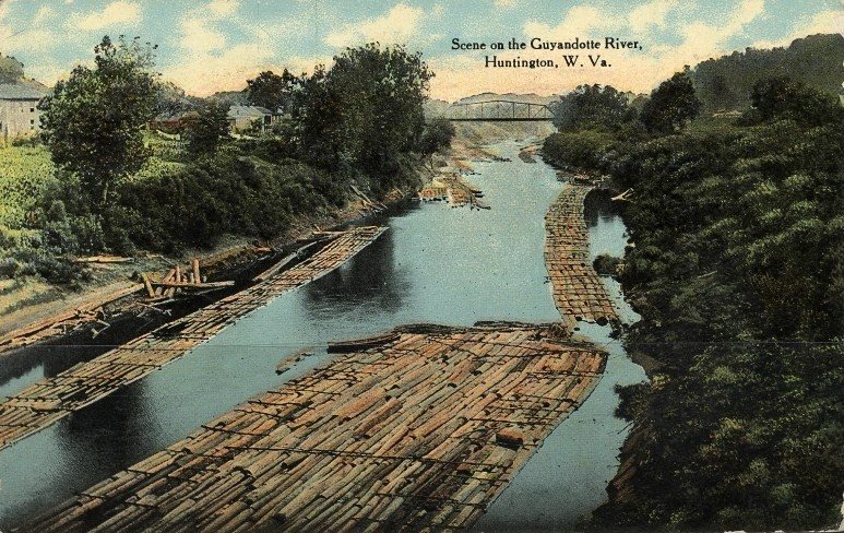
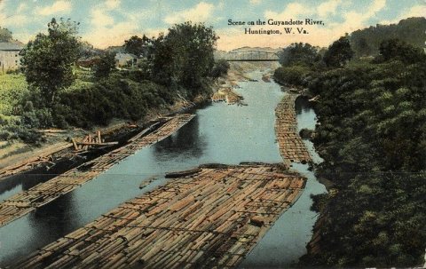
3 of 10 decades since 1900 have photos 🔁Retake an old viewPostcardHuntingtonWVGuyandotteRiv…, 1912: stand where they stood+15 📦Share a family photoSign in to add one+10Huntington, decade by decade

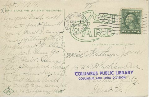
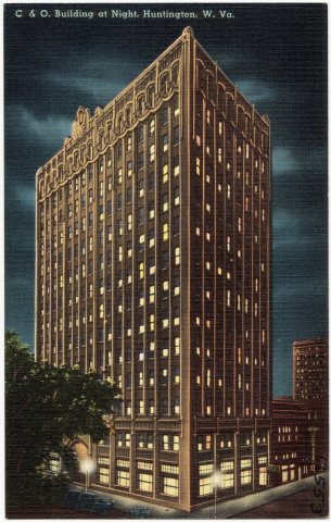 CommonsC and O. Building at night, Huntington, W. Va (66553)c. 1930 · postcard
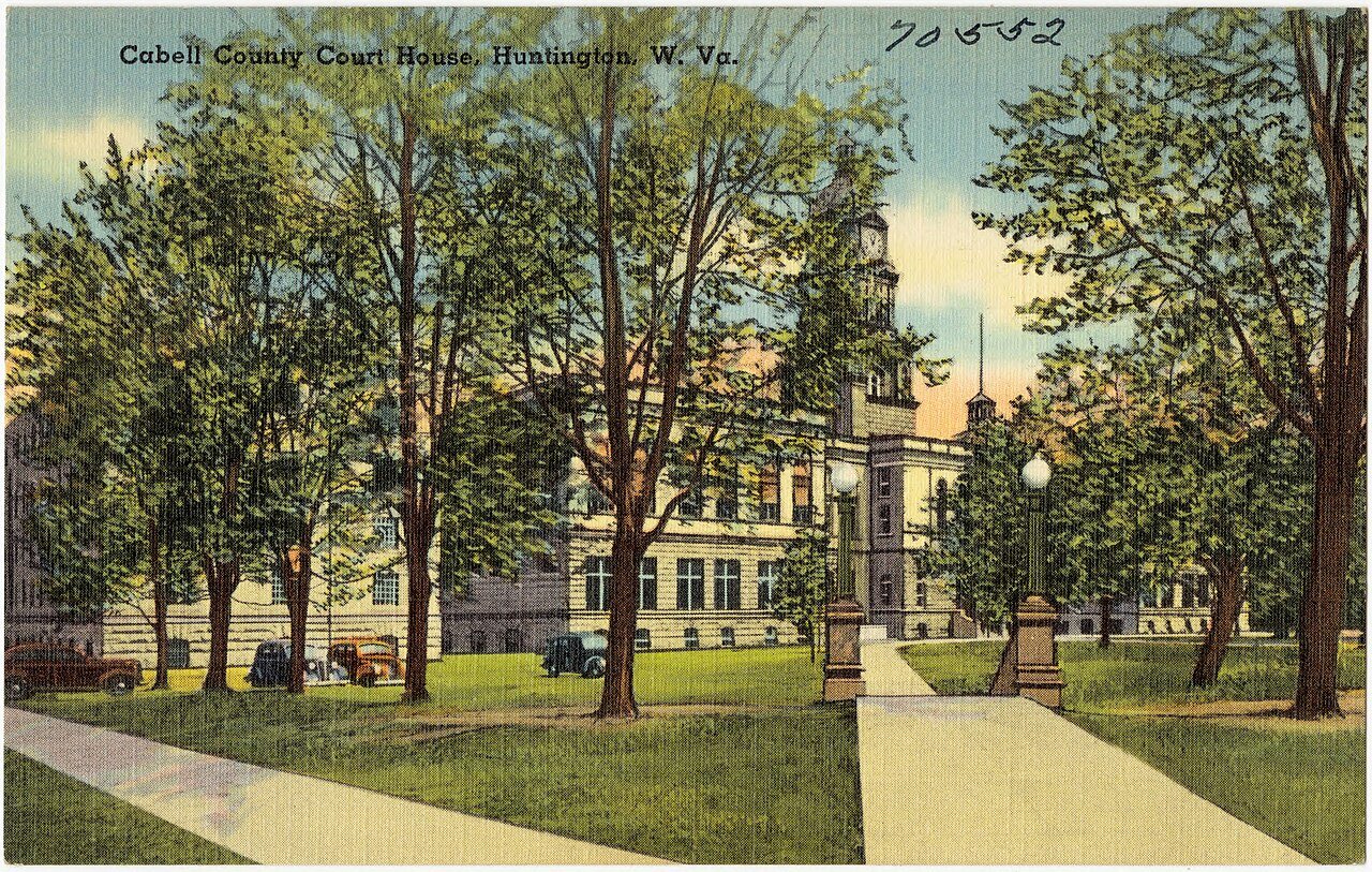
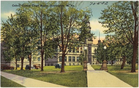 CommonsCabell County Court House, Huntington, W. Va (70552)c. 1930 · postcard
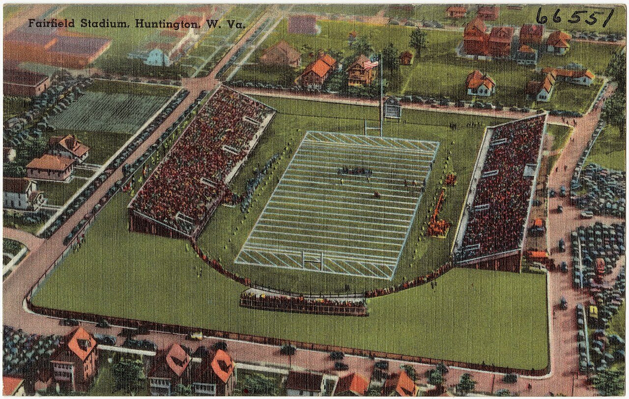
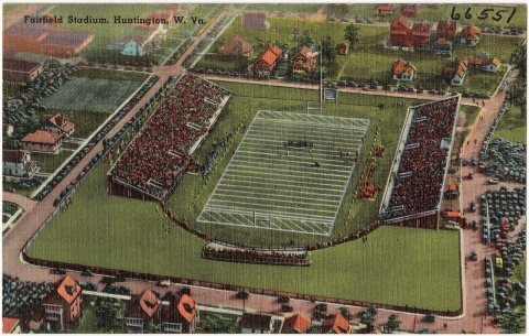 CommonsFairfield Stadium, Huntington, W. Va (66551)c. 1930 · postcard
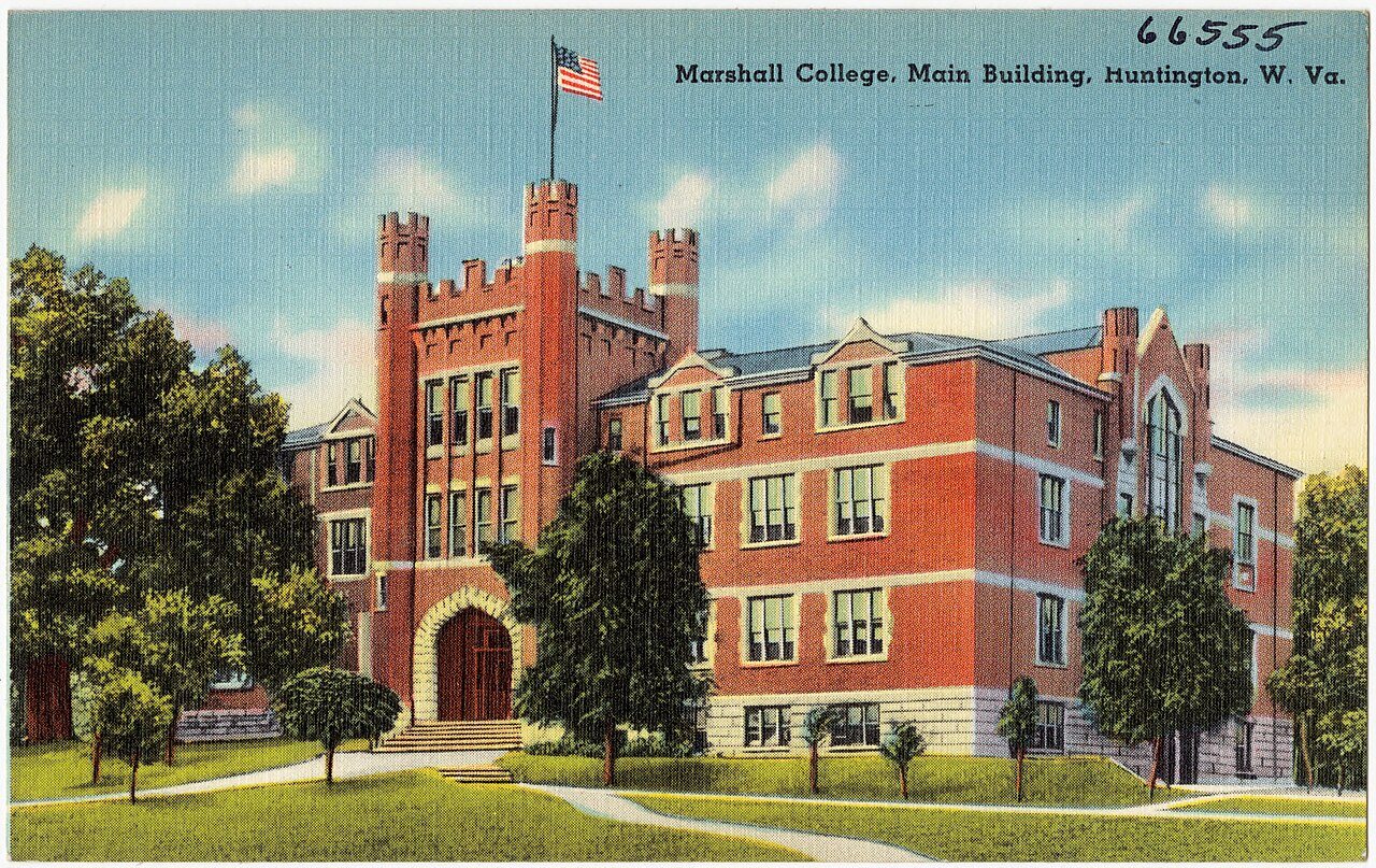
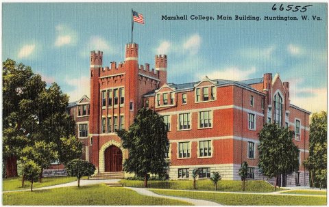 CommonsMarshall College, main building, Huntington, W. Va (66555)c. 1930 · postcard
1990s
Then & now
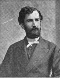
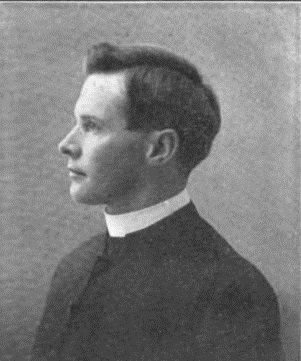
No then-and-now pairs yet. Take a photo from the same spot as Rev, Edward Valentine Jones (1902) and it appears here side by side.
🔁 Retake this view · +15Historic places
National Register · via Wikidata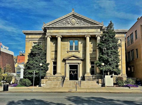
From Wikimedia Commons (10) and the National Register (2). Images are copied here with their credits and licenses, shown on each photo’s page. Refreshed monthly.