A history of Gassaway,
then and now
Postcards, papers and photographs of Gassaway from public archives, woven together by decade. Neighbors fill in the gaps.
The story
from WikipediaRead it all ↗The town was originally created at the ends of two divisions of the Coal and Coke Railway, one originating in Charleston and the other originating in Elkins. Because of its central location, the area was an ideal place to build shops to facilitate the transition between the relatively flat Charleston division, which could operate with standard equipment, and the more hilly Elkins division of the Coal & Coke which required heavier engines. The town was laid out in 1904, and over the next decade, businesses and infrastructure such as hotels, a bank, stores, schools, a hospital, office buildings and churches appeared to serve the growing population. By 1915, the Coal & Coke Railway Company had completed work on a depot to facilitate passenger service to the town. The Gassaway Depot still stands today and was listed on the National Register of Historic Places in 1994.
Text from Wikipedia, licensed CC BY-SA 4.0.
Timeline
built from the dates on the items belowFinish Gassaway’s story
Most archives stop around 1920. The photos from after that are in family albums, not libraries.
1 of 10 decades since 1900 have photos 🔁Retake an old viewVIEW, LOOKING NORTH, SHOWING ARCH…, 1968: stand where they stood+15 📦Share a family photoSign in to add one+10Famous people from Gassaway
See all 4 →Gassaway, decade by decade
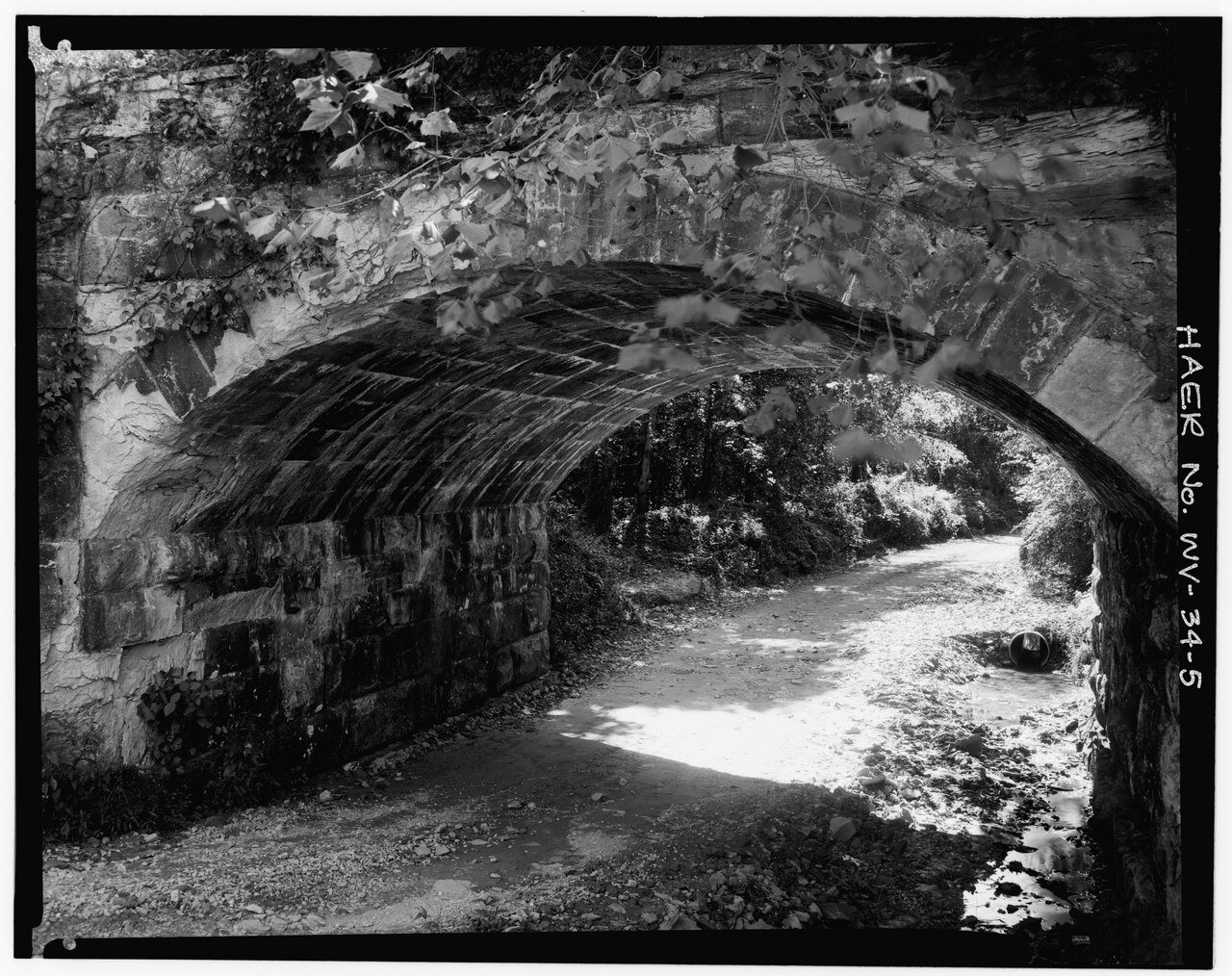
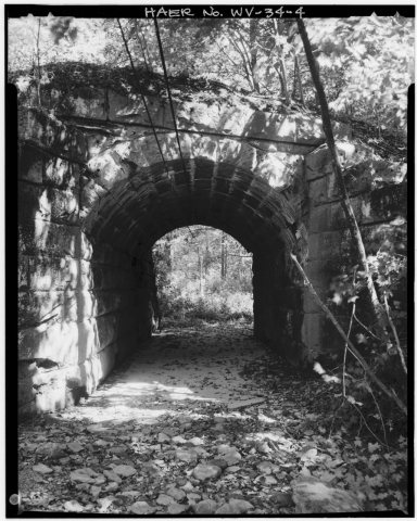 CommonsVIEW, LOOKING NORTH, SHOWING ARCH DETAIL OF BRIDGE NO. 1 - …1968
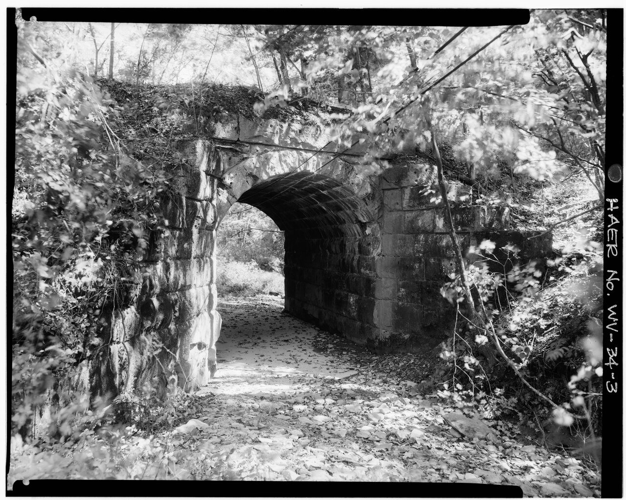
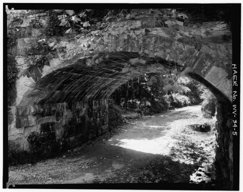 CommonsVIEW, LOOKING NORTH, SHOWING ARCH DETAIL OF BRIDGE NO. 2 - …1968
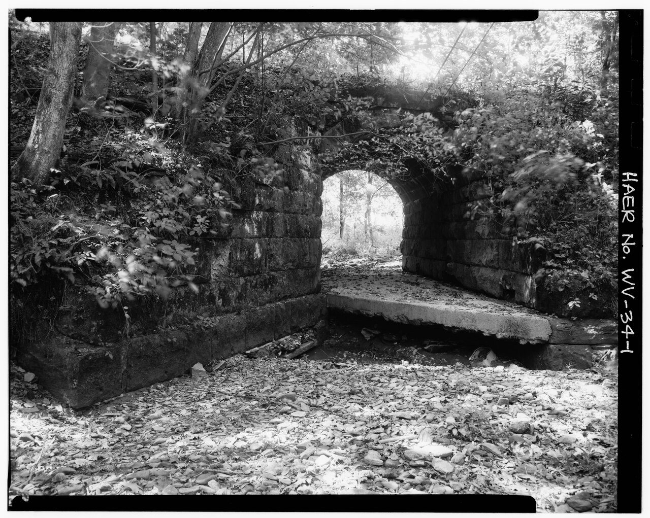
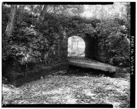 CommonsVIEW, LOOKING SOUTH, SHOWING ABUTMENTS OF BRIDGE NO. 1 - Ba…1968
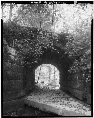 CommonsVIEW, LOOKING SOUTH, SHOWING BRIDGE ARCH OF BRIDGE NO. 1 - …1968
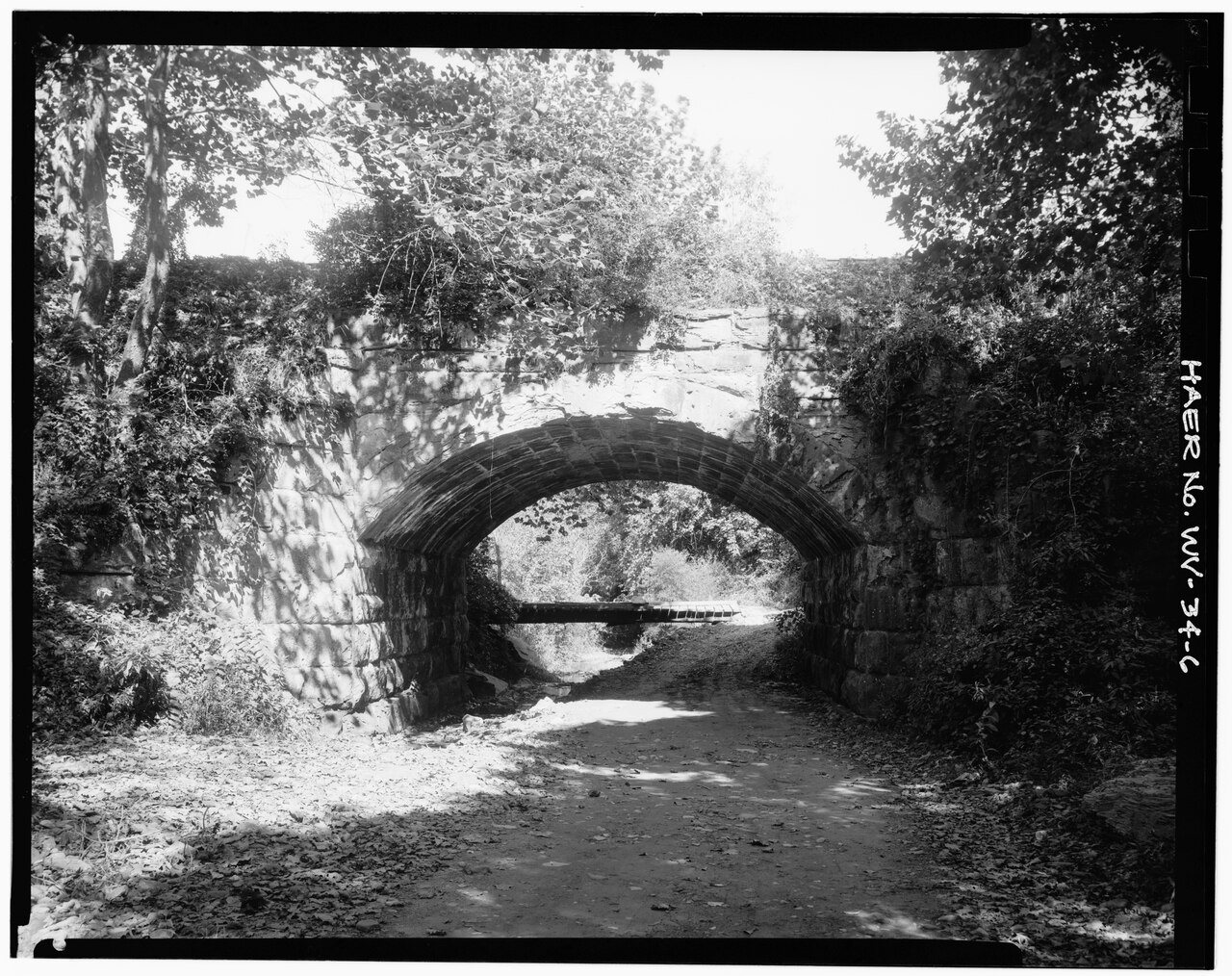
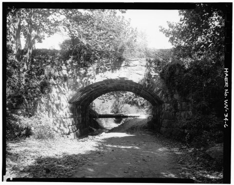 CommonsVIEW, LOOKING SOUTH, SHOWING BRIDGE NO. 2 - Baltimore and O…1968
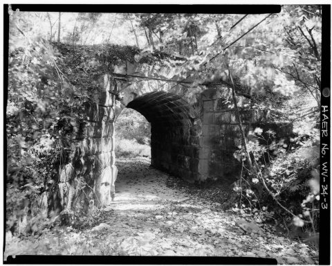 CommonsVIEW, LOOMING NORTH, SHOWING ABUTMENT OF BRIDGE NO. 1 - Bal…1968
1990s
Then & now
No then-and-now pairs yet. Take a photo from the same spot as VIEW, LOOKING NORTH, SHOWING ARCH DETAIL OF BRIDGE NO. 1 - Baltimore and Ohio Railroad, Stone Bridges 1 and 2, Between … (1968) and it appears here side by side.
🔁 Retake this view · +15Stories next door
nearby towns’ historyFrom Wikimedia Commons (6). Images are copied here with their credits and licenses, shown on each photo’s page. Refreshed monthly.