A history of Falls View,
then and now
Postcards, papers and photographs of Falls View from public archives, woven together by decade. Neighbors fill in the gaps.
The story so far
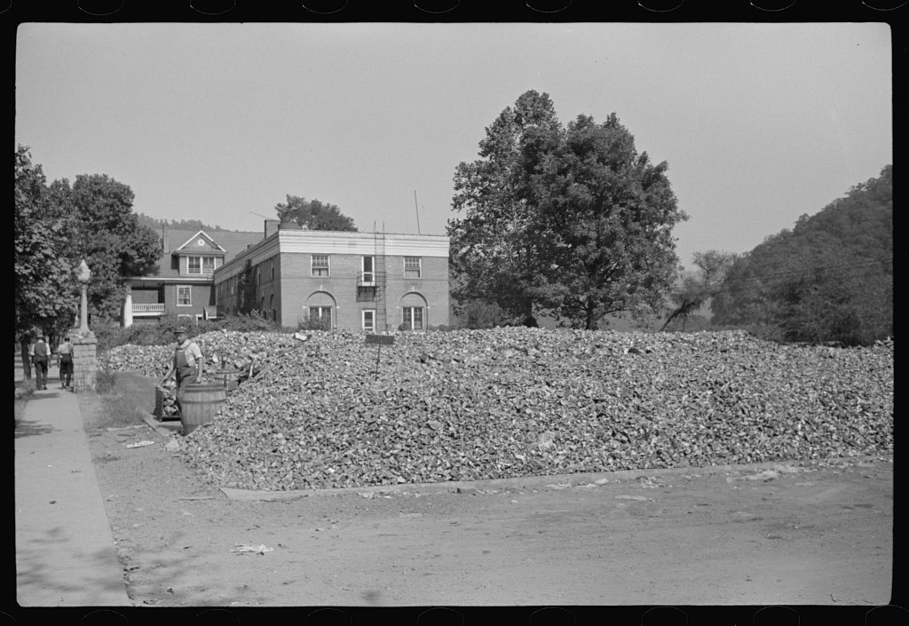
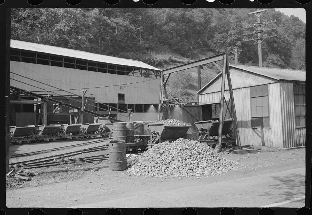
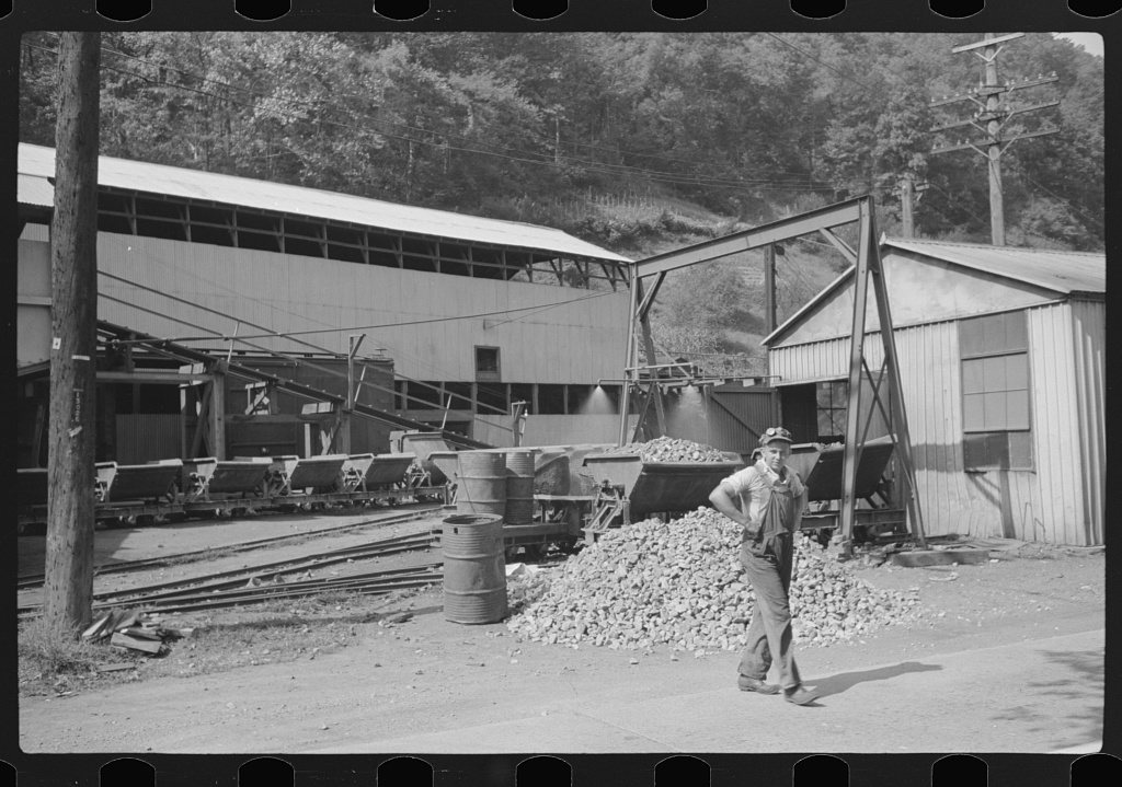
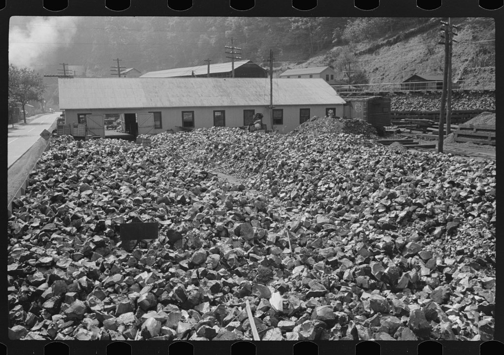
from Wikipedia & the U.S. CensusFalls View is a census-designated place (CDP) in Fayette County, West Virginia, United States. Falls View is located 4 miles (6.4 km) southwest of Gauley Bridge, on the north bank of the Kanawha River. As of the 2020 census, its population was 193 (down from 238 at the 2010 census). Falls View was established in the early 20th century as a residential village for managers from the Electro Metallurgical Co., part of the Union Carbide and Carbon Corporation. Electro Metallurgical operated four ferroalloy plants in the area, powered by hydroelectricity generated at the dam on Kanawha Falls.
Between the 2010 and 2020 censuses its population fell from 238 to 193 (-19%). Half of its homes were built before 1938.
Wikipedia doesn’t have a history of Falls View yet — the old photos, dates and memories neighbors add here are how it gets written.
Intro from Wikipedia, licensed CC BY-SA 4.0. Population and housing: U.S. Census Bureau.
Timeline
built from the dates on the items belowFinish Falls View’s story
Most archives stop around 1920. The photos from after that are in family albums, not libraries.
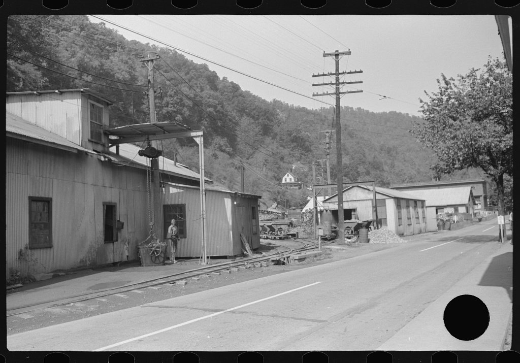
1 of 10 decades since 1900 have photos 🔁Retake an old viewAlloy plant, 1938: stand where they stood+15 📦Share a family photoSign in to add one+10Famous people close to Falls View
See all 26 →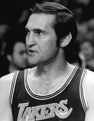



Falls View, decade by decade
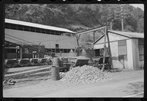
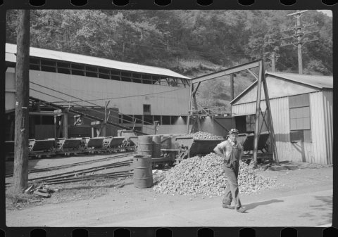
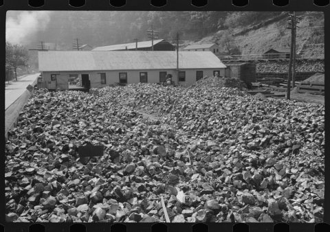
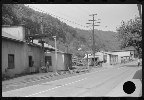
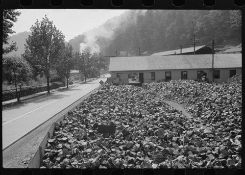
1990s
Nothing in Falls View is on the National Register yet
That’s true of most small towns. It doesn’t mean Falls View has no history, only that no one has written up a nomination. The closest listed place is Glen Ferris Inn in Glen Ferris, 2.6 miles away.
Falls View and the nearest listed places
Closest to Falls View
How a place gets listed
Then & now
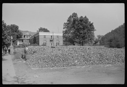
No then-and-now pairs yet. Take a photo from the same spot as Alloy plant (1938) and it appears here side by side.
🔁 Retake this view · +15Stories next door
nearby towns’ historyFrom the Library of Congress (6). Images are copied here with their credits and licenses, shown on each photo’s page. Refreshed monthly.