A history of Clarksburg,
since 1785
Postcards, papers and photographs of Clarksburg from public archives, woven together by decade. Neighbors fill in the gaps.
The story
from WikipediaRead it all ↗Two prehistoric burial mounds known as the Oak Mounds are located south of Clarksburg. In 1764, trapper John Simpson became the first European known to claim land in the area. European settlement began in the early 1770s, and about 1773 Daniel Davisson acquired 400 acres (160 ha) where Clarksburg now stands.
When Harrison County was created in 1784, Clarksburg became the county seat. The town was named for Revolutionary War officer George Rogers Clark and was chartered by the Virginia General Assembly in 1785. Construction of the first Harrison County courthouse began in 1787. That year, the Virginia General Assembly also established Randolph Academy in Clarksburg, the first such educational institution west of the Allegheny Mountains.
Text from Wikipedia, licensed CC BY-SA 4.0.
Timeline
built from the dates on the items belowFinish Clarksburg’s story
Most archives stop around 1920. The photos from after that are in family albums, not libraries.
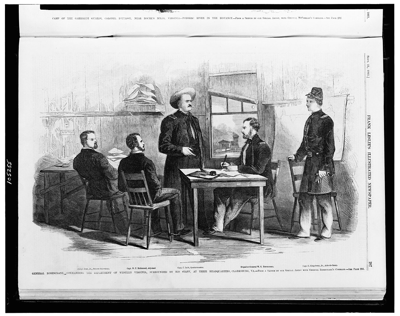
0 of 10 decades since 1900 have photos 🔁Retake an old viewGeneral Rosencranz, (i.e. Rosecra…, 1861: stand where they stood+15 📦Share a family photoSign in to add one+10Famous people from Clarksburg
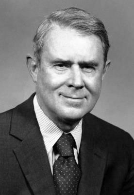
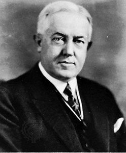
See all 50 →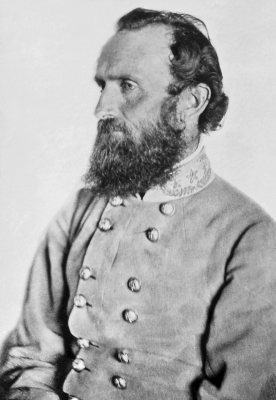
Clarksburg, decade by decade
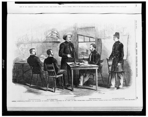 CommonsGeneral Rosencranz, (i.e. Rosecrans) commanding the Departm…1861
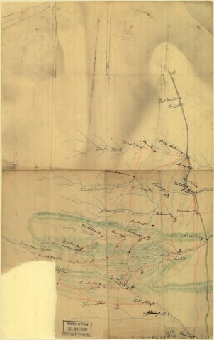 MapMap of part of eastern West Virginia, extending from Romney…1861
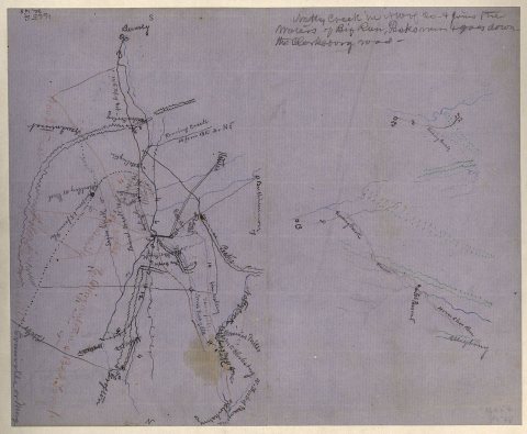 CommonsRough sketch of the Rich Mountain battle area, extending fr…1861
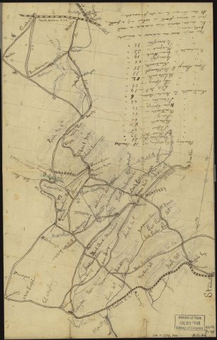 CommonsSketch of western Virginia and eastern West Virginia, betwe…1861
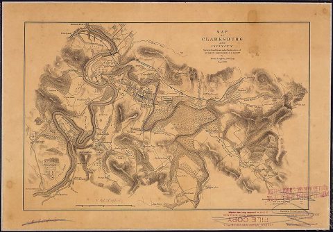 MapMap of Clarksburg and vicinity. Surveyed and drawn under th…1863
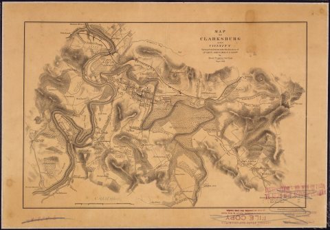 MapMap of Clarksburg and vicinity. Surveyed and drawn under th…1863
Then & now
No then-and-now pairs yet. Take a photo from the same spot as General Rosencranz, (i.e. Rosecrans) commanding the Department of Western Virginia, surrounded by his staff, at their h… (1861) and it appears here side by side.
🔁 Retake this view · +15Stories next door
nearby towns’ historyFrom Wikimedia Commons (6). Images are copied here with their credits and licenses, shown on each photo’s page. Refreshed monthly.