Ansted’s history is
mostly unwritten
The public archives hold only 3 old photos of Ansted. The rest are in attics, shoeboxes and the historical society. Help start the collection.
The story
from WikipediaRead it all ↗The area of what is now southern West Virginia was long a hunting ground for nomadic tribes of Native-Americans before the arrival of Europeans in the 17th century. Around 1790, the area now known as Ansted was settled by a group of Baptists who did not hold legal title to the land. These people were known as "squatters", and built the Hopewell Baptist Church nearby. In 1792, a 400-acre (1.6 km2) tract of land in the area was patented to Charles Skaggs.
Text from Wikipedia, licensed CC BY-SA 4.0.
Timeline
built from the dates on the items belowStart Ansted’s collection
The first neighbors to add old photos shape how Ansted’s history is told.
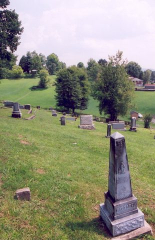
1 of 10 decades since 1900 have photos 🗓️Date a photo1 archive item has no date+2 🔁Retake an old viewMidland Trail - Graveyard View in…, 1995: stand where they stood+15 📦Share a family photoSign in to add one+10Famous people from Ansted
See all 5 →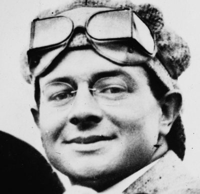
Ansted, decade by decade
unknown1 item
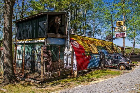 CommonsMystery Hole in Ansted, West Virginia in 20262026
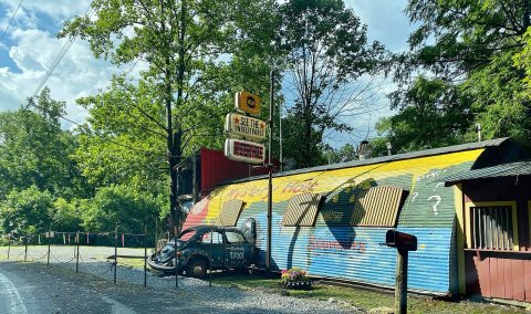 CommonsMystery Hole in 20252025
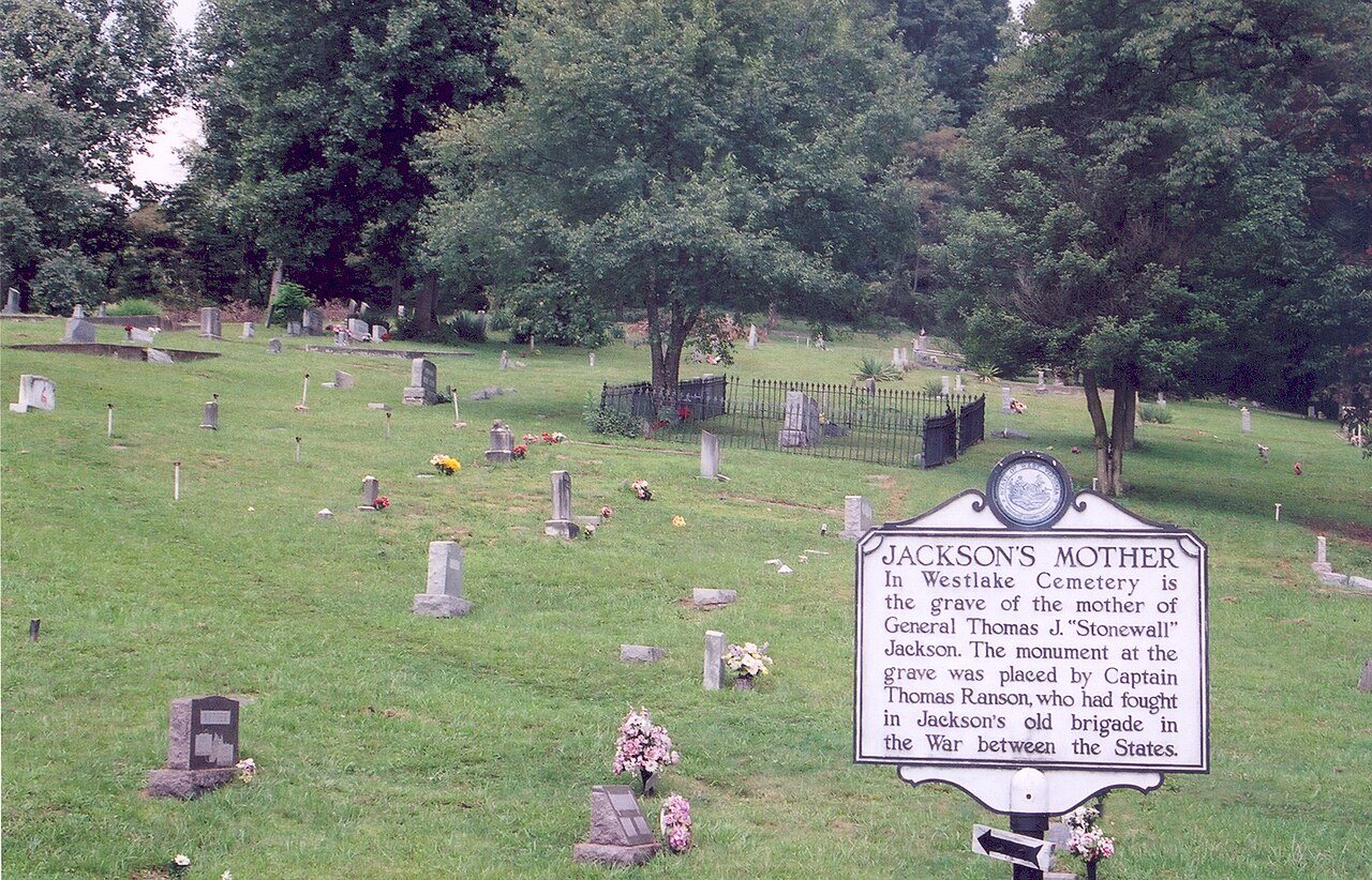
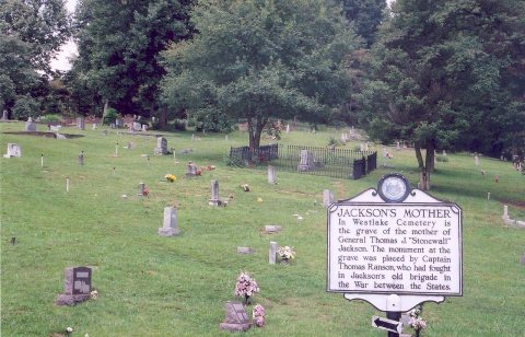
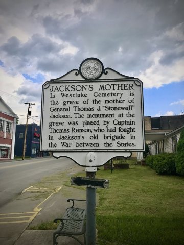 CommonsWestlake Cemetery Ansted WVU USA 20172017
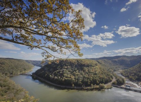 LOCView from above of a dramatic horseshoe bend of the New Riv…2015
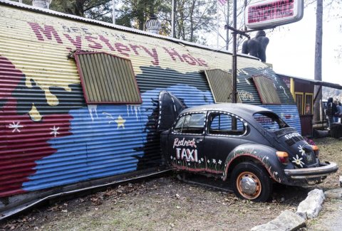 LOCBizarre facade of the Mystery Hole, near Ansted, West Virgi…2015
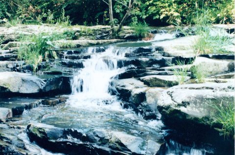 CommonsWest Virginia Jungle2011
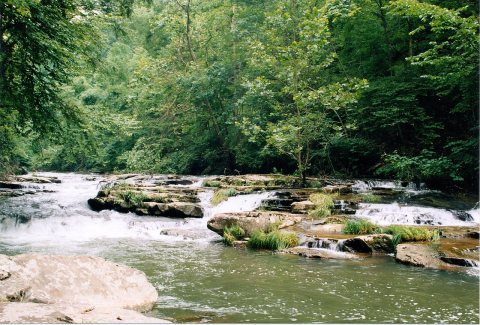 CommonsMill Creek WV2011
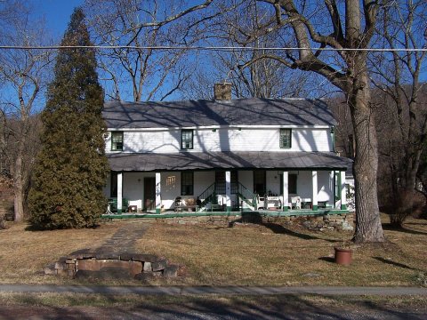 CommonsCoal Heritage Trail - The Halfway House in2006
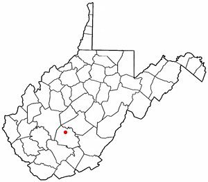 CommonsWVMap-doton-Ansted2004
3 historic places in Ansted
3 places in Ansted are on the National Register of Historic Places, the country’s official list of buildings and places worth saving.
Where they are
When they were listed


Then & now
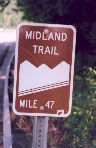
No then-and-now pairs yet. Take a photo from the same spot as Midlandtrailsign and it appears here side by side.
🔁 Retake this view · +15Stories next door
nearby towns’ historyFrom Wikimedia Commons (10) and the Library of Congress (2). Images are copied here with their credits and licenses, shown on each photo’s page. Refreshed monthly.