The story
from WikipediaRead it all ↗American Indians lived around Rice Lake for millennia, some of whom made mounds like those that remain in Indian Mounds Park along the shore of the lake. In later years before white settlers, Ojibwe (Chippewa) people occupied the area, and they had a strong cultural attachment to the wild rice that grew on the lake.
Text from Wikipedia, licensed CC BY-SA 4.0.
Timeline
built from the dates on the items below1988Rand's Lanes Bowl signCommons
1990–1999Nothing yet. Family albums go here.
Be one of the first
Start Rice Lake’s collection
The first neighbors to add old photos shape how Rice Lake’s history is told.
1 of 10 decades since 1900 have photos 🔁Retake an old viewRand's Lanes Bowl sign, 1988: stand where they stood+15 📦Share a family photoSign in to add one+10By decade
Rice Lake, decade by decade
1980s1 item
1990s–
1990s
1990s
Nothing in the archives for these yearsWeddings on Main Street, storms, parades, school pictures, the old store. If it’s in your family album, it belongs here.
📷 Add from your albumToday11 photos
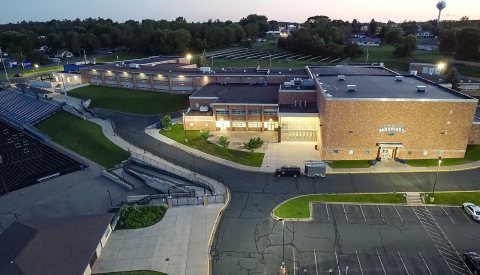 CommonsRice Lake High School-32024
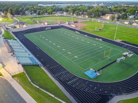 CommonsRice Lake High School-22024
 CommonsMastercraft2024
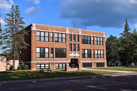 CommonsFranklin School2018
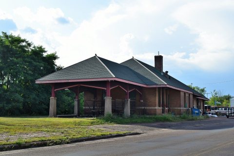 CommonsChicago, St. Paul, Minneapolis and Omaha station2018
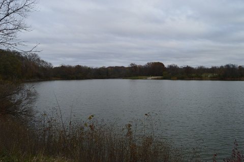 CommonsWindy Day at2017
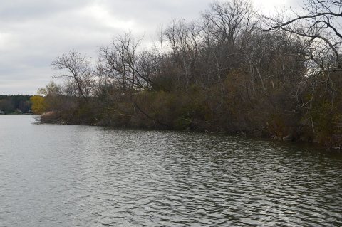 CommonsReflections on2017
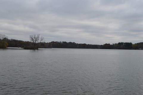 CommonsOvercast Autumn Day at2017
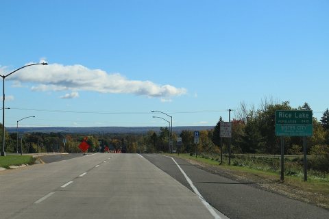 CommonsRice Lake Wisconsin Sign WIS48 Looking East2016
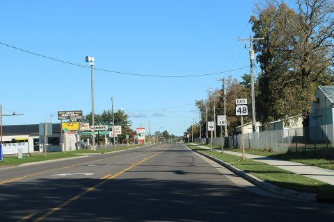 CommonsRice Lake Wisconsin Looking north WIS482016
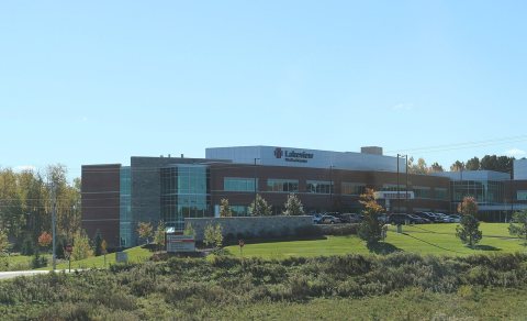 CommonsLakeview Medical Center2016
Then & now
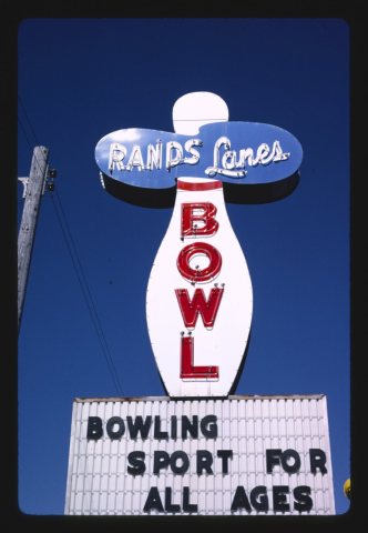
No then-and-now pairs yet. Take a photo from the same spot as Rand's Lanes Bowl sign (1988) and it appears here side by side.
🔁 Retake this view · +15Stories next door
nearby towns’ historyFrom Wikimedia Commons (12). Images are copied here with their credits and licenses, shown on each photo’s page. Refreshed monthly.