The story
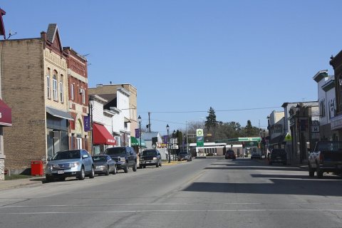
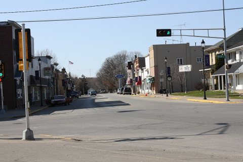
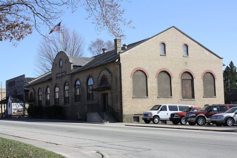
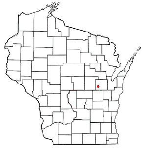
from WikipediaRead it all ↗In 1848, Alonzo Horton purchased 1,500 acres from the governor of Wisconsin, now known as the Town of Hortonia and the Village of Hortonville, for 70 cents per acre. He built a cabin and dammed the Black Otter Creek, creating the 75-acre (300,000 m2) Black Otter Lake. After laying out a plat for the community by buying land and platting it off in 1849, Horton was swayed westward by the California Gold Rush. He later developed the city of San Diego, California.
On August 11, 1894, the settlement was incorporated as the Village of Hortonville. It had one of the world's first match light factories.
Two feature films are said to have been set in Hortonville, Janie (1944) and Janie Gets Married (1947).
Text from Wikipedia, licensed CC BY-SA 4.0.
Start Hortonville’s collection
The first neighbors to add old photos shape how Hortonville’s history is told.
0 of 10 decades since 1900 have photos 📦Share a family photoSign in to add one+10Hortonville, decade by decade
2000


Then & now
When neighbors add old photos, retakes from the same spot appear here side by side.
Stories next door
nearby towns’ historyFrom Wikimedia Commons (6). Images are copied here with their credits and licenses, shown on each photo’s page. Refreshed monthly.