The story
from WikipediaRead it all ↗The two six mile squares that would become Grover were first surveyed in the summer of 1847 by a crew working for the U.S. government. Then in the winter of 1857 and 1858 another crew marked all the section corners in the township, walking through the woods and over frozen swamps, measuring with chain and compass. When done, the deputy surveyor filed this general description of the six mile square north of Perkinstown:
Text from Wikipedia, licensed CC BY-SA 4.0.
Be one of the first
Start Grover’s collection
The first neighbors to add old photos shape how Grover’s history is told.
0 of 10 decades since 1900 have photos 📦Share a family photoSign in to add one+10Famous people close to Grover
See all 20 →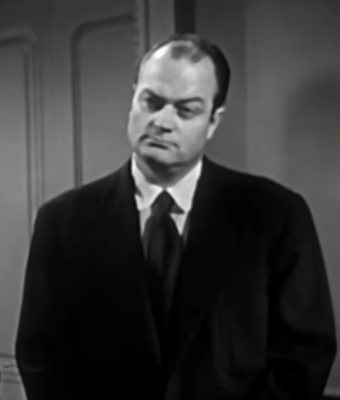
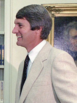
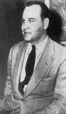
By decade
Grover, decade by decade
Before
2000
2000
No old photos in the archives yetWeddings on Main Street, storms, parades, school pictures, the old store. If it’s in your family album, it belongs here.
📷 Add from your albumThen & now
When neighbors add old photos, retakes from the same spot appear here side by side.