History · Cadott
A history of Cadott,
then and now
Postcards, papers and photographs of Cadott from public archives, woven together by decade. Neighbors fill in the gaps.
6old images & papers
1need a date
The story
from WikipediaRead it all ↗In the late 1700s or early 1800s Jean Baptiste Cadotte, son of French Canadian fur trader Michel Cadotte of the Madeline Island area, established a trading post on the Yellow River near modern Cadott.
Text from Wikipedia, licensed CC BY-SA 4.0.
Timeline
built from the dates on the items below1907CaldwellCommons
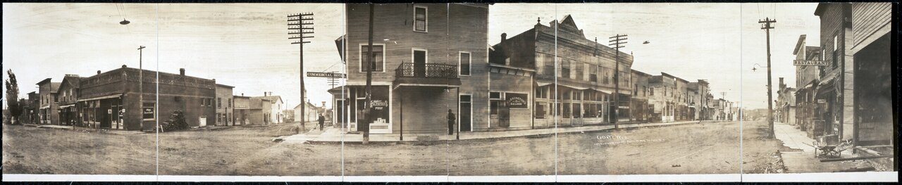
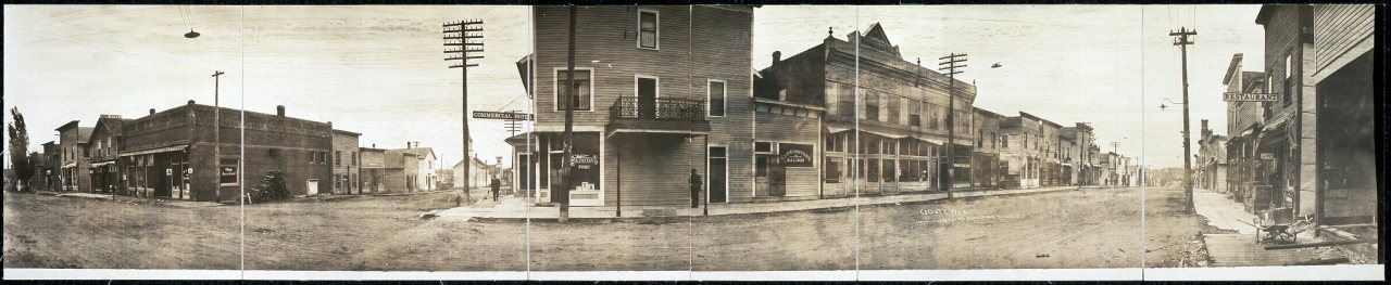
1910s2 items · Cadott, WisCommons
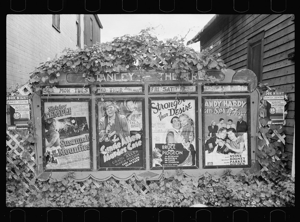
1930s2 items · Fire departmentLOC
1940–1999Nothing yet. Family albums go here.
Help out
Finish Cadott’s story
Most archives stop around 1920. The photos from after that are in family albums, not libraries.
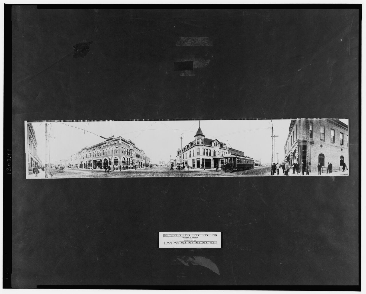
3 of 10 decades since 1900 have photos 🗓️Date a photo1 archive item has no date+2 🔁Retake an old viewCaldwell, 1907: stand where they stood+15 📦Share a family photoSign in to add one+10By decade
Cadott, decade by decade
1900s1 item
1910s2 items
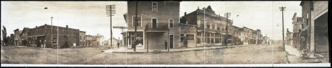
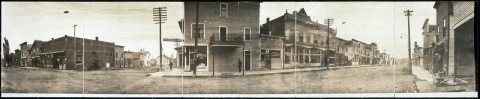
1930s2 items
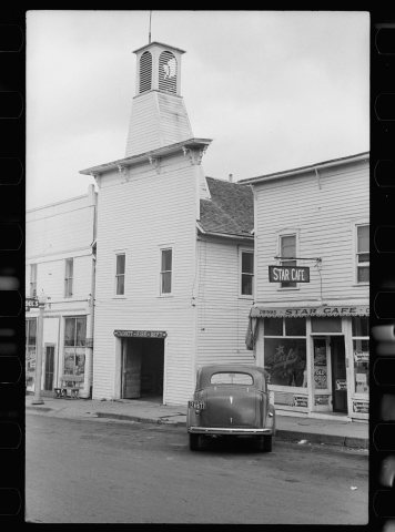
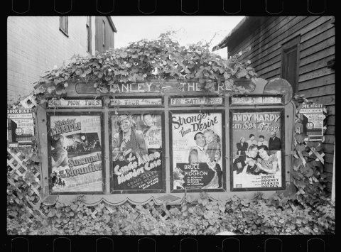
1940s–
1990s
1990s
Nothing in the archives for these yearsWeddings on Main Street, storms, parades, school pictures, the old store. If it’s in your family album, it belongs here.
📷 Add from your albumDate
unknown1 item
unknown1 item
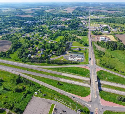

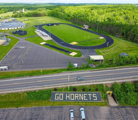

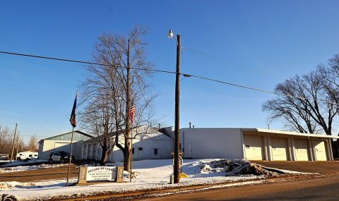
Then & now
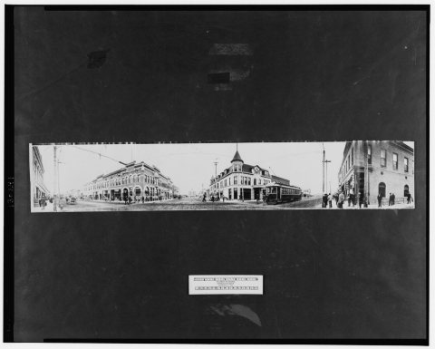
No then-and-now pairs yet. Take a photo from the same spot as Caldwell (1907) and it appears here side by side.
🔁 Retake this view · +15From Wikimedia Commons (8) and the Library of Congress (3). Images are copied here with their credits and licenses, shown on each photo’s page. Refreshed monthly.