Ashland’s history is
mostly unwritten
The public archives hold only 3 old photos of Ashland. The rest are in attics, shoeboxes and the historical society. Help start the collection.
The story
from WikipediaRead it all ↗Eight Native American tribes lived on Chequamegon Bay. Later settlers included European explorers, missionaries and fur traders, and more recently, Yankees from the eastern United States who platted and developed the lands, railroaders, shippers, loggers, entrepreneurs, and other settlers. Four flags have flown over the area around Ashland from colonial to contemporary times: Spanish, French, English and American.
The area was part of the United States' Northwest Territory. This region was divided into four successive territories for administration before becoming part of the state of Wisconsin: Indiana Territory, Michigan Territory, Illinois Territory, and Wisconsin Territory.
Text from Wikipedia, licensed CC BY-SA 4.0.
Timeline
built from the dates on the items belowStart Ashland’s collection
The first neighbors to add old photos shape how Ashland’s history is told.
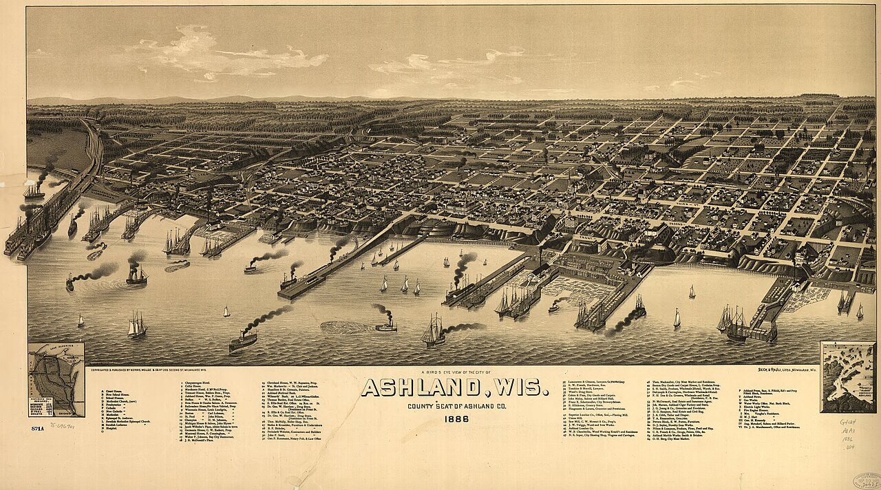
0 of 10 decades since 1900 have photos 🔁Retake an old viewA bird's eye view of the city of …, 1886: stand where they stood+15 📦Share a family photoSign in to add one+10Famous people from Ashland
See all 21 →

Ashland, decade by decade
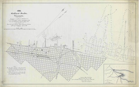
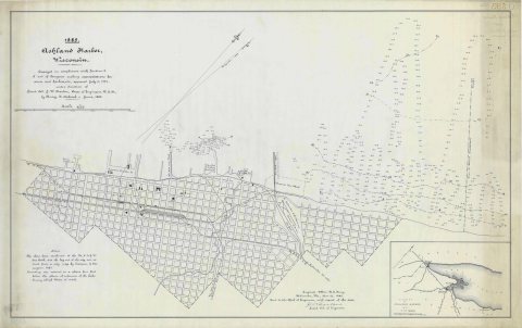
1990s
Then & now
No then-and-now pairs yet. Take a photo from the same spot as A bird's eye view of the city of Ashland, Wis., county seat of Ashland County 1886 (1886) and it appears here side by side.
🔁 Retake this view · +15Historic places
National Register · via Wikidata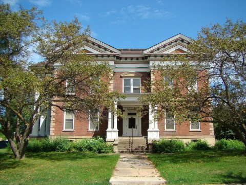
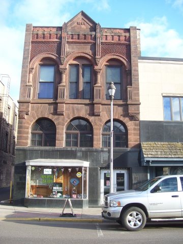
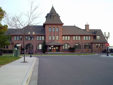
From Wikimedia Commons (3) and the National Register (3). Images are copied here with their credits and licenses, shown on each photo’s page. Refreshed monthly.