The story
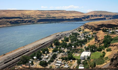
from WikipediaRead it all ↗The area of Wishram was located 1⁄2 mile (0.8 km) above the head of the great Celilo Falls on the Columbia, and as a result has been populated for an extended period. For around 15,000 years, native peoples gathered to fish and exchange goods. They built wooden platforms out over the water and caught salmon with dipnets and long spears on poles as the fish swam up through the rapids and jumped over the falls. Celilo Falls and The Dalles were strategically located at the border between Chinookan and Sahaptian-speaking peoples and served as the center of an extensive trading network across the Pacific Plateau. It was noted by early explorers and historians of the area.
Text from Wikipedia, licensed CC BY-SA 4.0.
Start Wishram’s collection
The first neighbors to add old photos shape how Wishram’s history is told.
0 of 10 decades since 1900 have photos 📦Share a family photoSign in to add one+10Famous people close to Wishram
See all 23 →


Wishram, decade by decade
2000
Nothing in Wishram is on the National Register yet
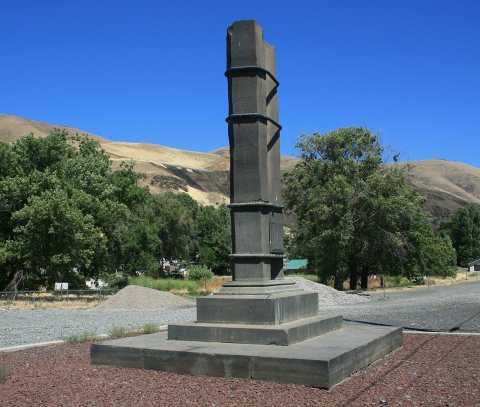
That’s true of most small towns. It doesn’t mean Wishram has no history, only that no one has written up a nomination. The closest listed place is Maryhill in Maryhill, 5.3 miles away.
Wishram and the nearest listed places
How a place gets listed
Then & now
When neighbors add old photos, retakes from the same spot appear here side by side.
Stories next door
nearby towns’ historyFrom Wikimedia Commons (6). Images are copied here with their credits and licenses, shown on each photo’s page. Refreshed monthly.